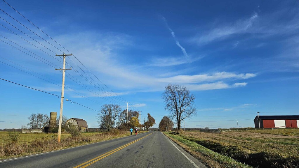
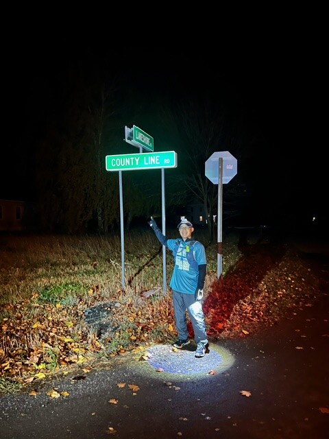
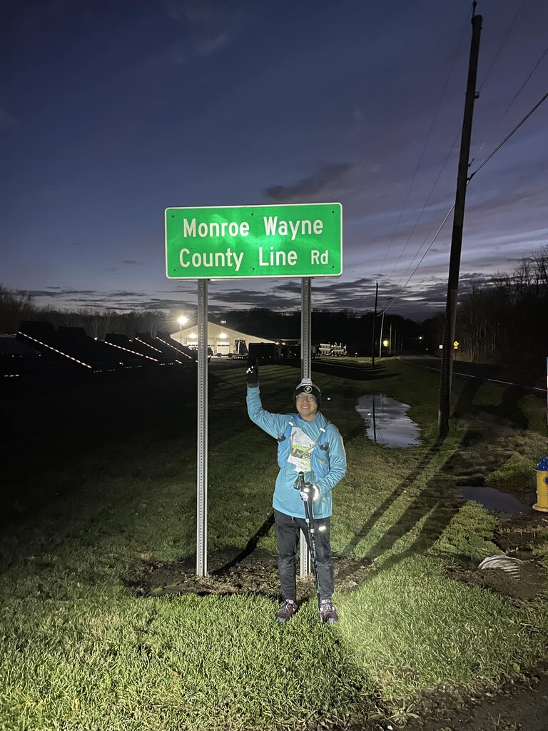
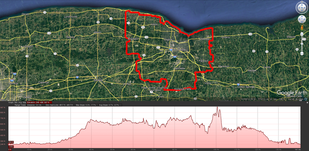
This route follows or hugs as close as possible the land boundary of Monroe County, New York, using public roads or trails for the most part. Where there is no accessible right-of-way on the boundary, the route favors roads *within* the boundary (e.g., where the Wayne-Monroe County Line Road veers into Wayne County, an alternate route is used). The route must lead to continuous progression and must not branch and return to the same point; therefore, dead ends or cul-de-sacs do not meet this criterion, even though they might get closer to the boundary. Participant safety is also considered; therefore, the route does not use the Lake Ontario State Parkway where there is little established shoulder and vehicles routinely exceed the posted 55 mph speed limit.
The route starts and finishes at Ontario Beach Park in the Charlotte neighborhood of the City of Rochester, and passes through 19 towns and villages. It includes an approximately 1.3 mile section of the Erie Canalway Trail in Clarkson, and an approximately 1 mile section of the Crescent Trail in Perinton.
The route was designed by Clement Chung, a Monroe County resident, who used it to raise awareness for autism in honor of his autistic son (the CDC diagnosis rate was 1:44 children at the time) and support for local charity, AutismUp. He first ran the route on November 17-19, 2023.
https://routes.rungoapp.com/route/yhZzdex0qB