*English will follow*
C'est un parcours qui peut être mélangeant, soyez sûr d'avoir le GPX dans votre montre pour suivre la trail.
Ceci est un parcours linéaire, prévoyer un moyen de transport pour vous ramener à votre voiture au Mont Ouareau (35minutes)
Départ à la base du sentier du Mont Ouareau, le stationnement se trouve au abord de la Rte 125, lien Google Maps.
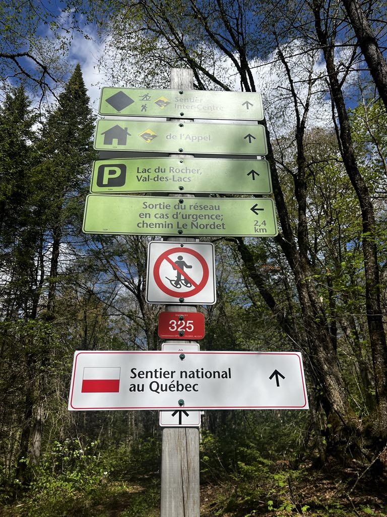
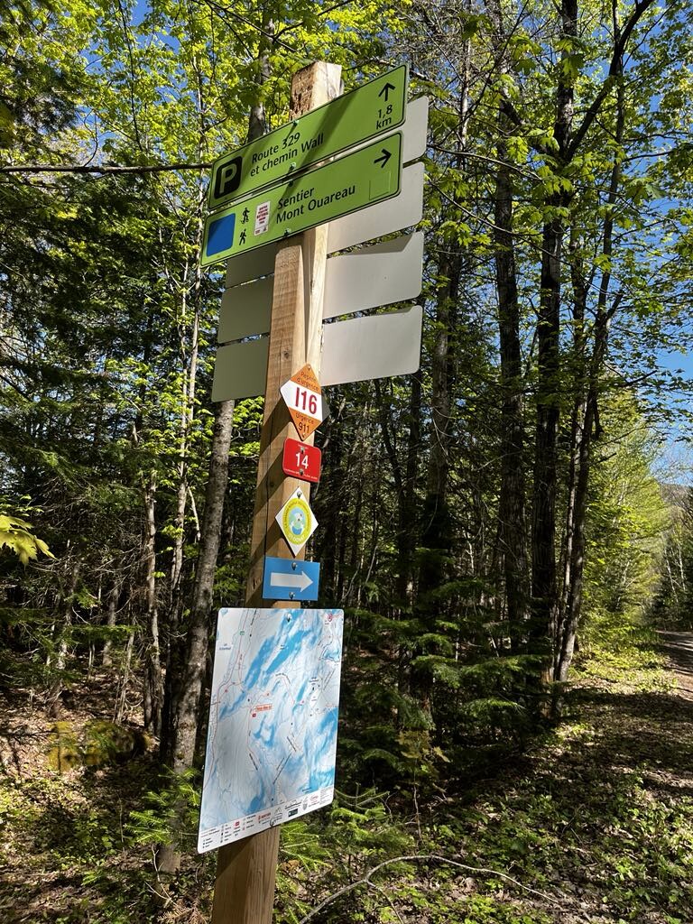
- Suivant le sentier du Mont Ouareau (pancartes rouges et blanches), jusqu'aux pancartes bleu et blanches pour aller au sommet du Mont Ouareau. Descendre par la suite pour retrouver les pancartes du sentier national (blanc et rouge).
- Suivre les indications vers le Lac Lemieux, toujours en suivants les pancartes du SNQ (blanches et rouges)
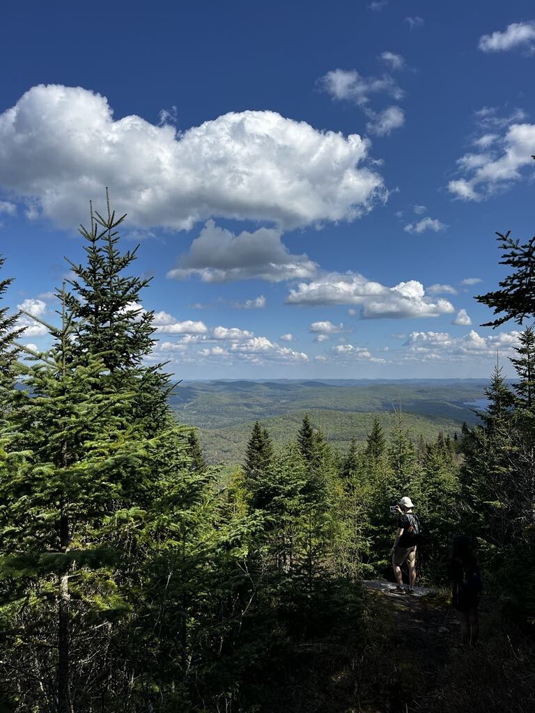
- Vers le Mont Kaaikop, le sentier s'appelera Inter-centre et la pancarte sera un losange jaune avec un dessin de sentier, suivre ce sentier.
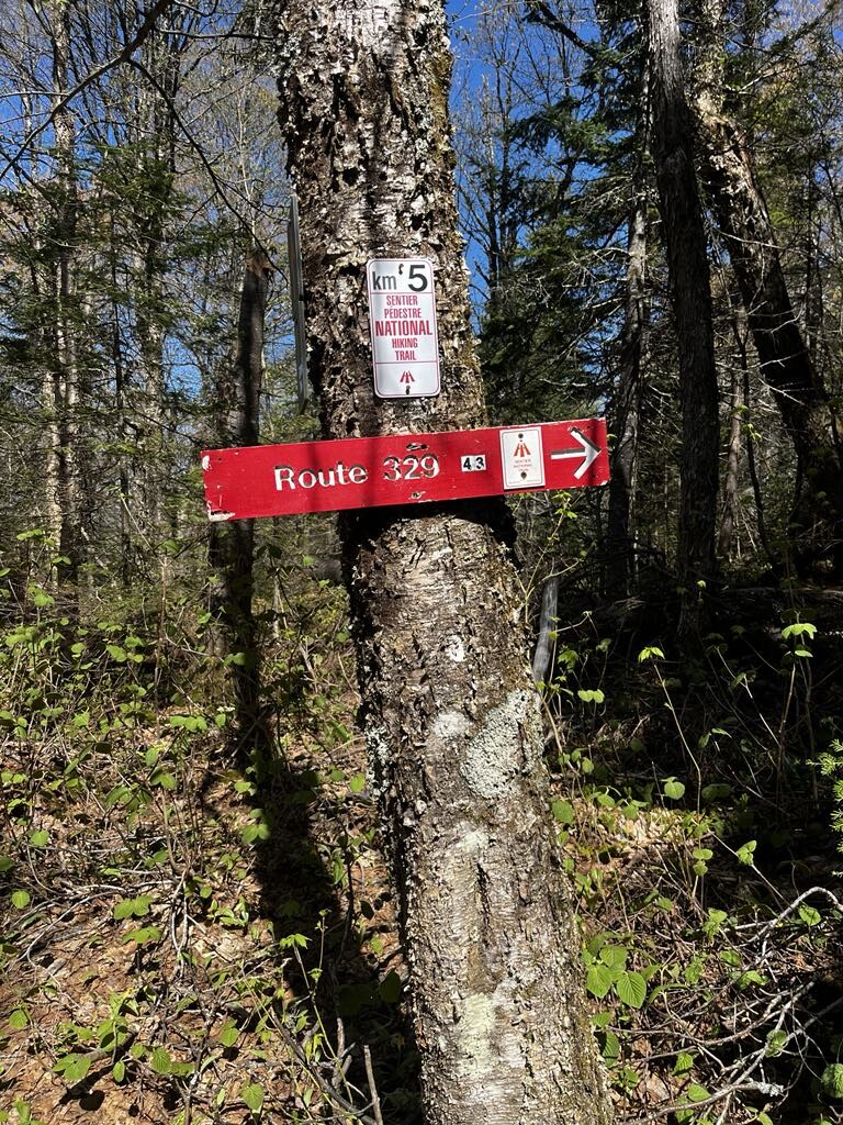
- À une intersection, suivre la pancarte rouge vers la Route 329.
- Une fois la Rte 329 atteinte, traverser la route et continuer jusqu'au Stationnement P2 de la Montagne Noire.
- Suivre le sentier Mésangeai jusqu'au Sentier des randonneurs et prendre la direction pour atteindre le site historique du Liberator Harry.
- Le sentier changera alors à nouveau pour Inter-centre. Atteindre le sommet de la Montagne Noire.
- Suivre les indications pour rejoindre Le Refuge de l'Appel. **Attention, à un endroit le sentier vers ce refuge sera possible par deux directions, prendre la droite**
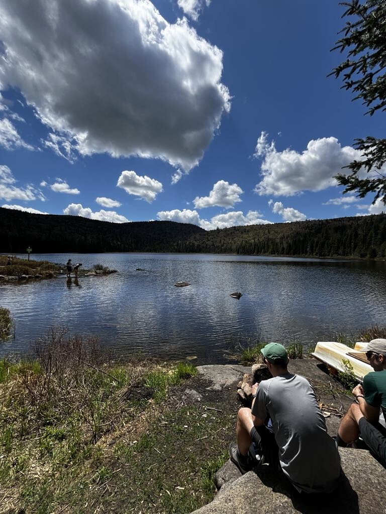
- Une fois au refuge au abord du lac de l'Appel, continuer sur l'Inter-centre vers le Refuge le Nordet.
- Après ce refuge, suivre le sentier La Grise vers la gauche, les pancartes sont rouges avec un G.
- Une fois le sentier La Grise complété, suivre les indications vers le stationnement Le Nordet sur le sentier Inter-centre. Indication vers le stationnement Nordet
This trail can be confusing to follow, be sure to have the GPX in your watch to follow the trail
This is a linear trail, be sure to have someone waiting for you at the end to bring you back to your car at the trailhead Mont Ouareau (35min drive)
The parking and trailhead Mont Ouareau is located by the Rd 125, Google Maps link.
- Following the trail Mont Ouareau (red and white signs) until you reach blue and white signs to go up to the summit of Mont Ouareau. Then go on the trail until you meet the sentier national signs (red and white).
- Follow the signs to Lac Lemieux, still follow the SNQ signs (white and red).
- Towards Mont Kaaikop, the trail will then be named Inter-centre and the sign will be a yellow diamond shaped with a trail drawn inside.
- At an intersection to Mont Kaaikop, follow a red sign written Rouge 329.
- Once at the Rd 329, cross it and continue until you find on your left the parking P2 for the Montagne Noire.
- Follow the trail Mésangeai until Sentier des randonneurs and then keep going and then follow the signs for Liberator Harry historical site.
- The trail will then change name again to Inter-centre. You'll reach the Montagne Noire summit.
- Follow the indications to Refuge de l'Appel. **Be warned, on your way to the shelter, the trail will split in two with the same name, follow the right arrow**
- Arrived at the shelter by the lac de l'Appel, continue your way on Inter-centre towards Refuge le Nordet.
- After this shelter, follow the trail La Grise on your left, these signs are a red square with a G inside.
- Once this trail is done, follow the indications to the parking Le Nordet on the Inter-centre trail. Parking le Nordet - Google Maps link