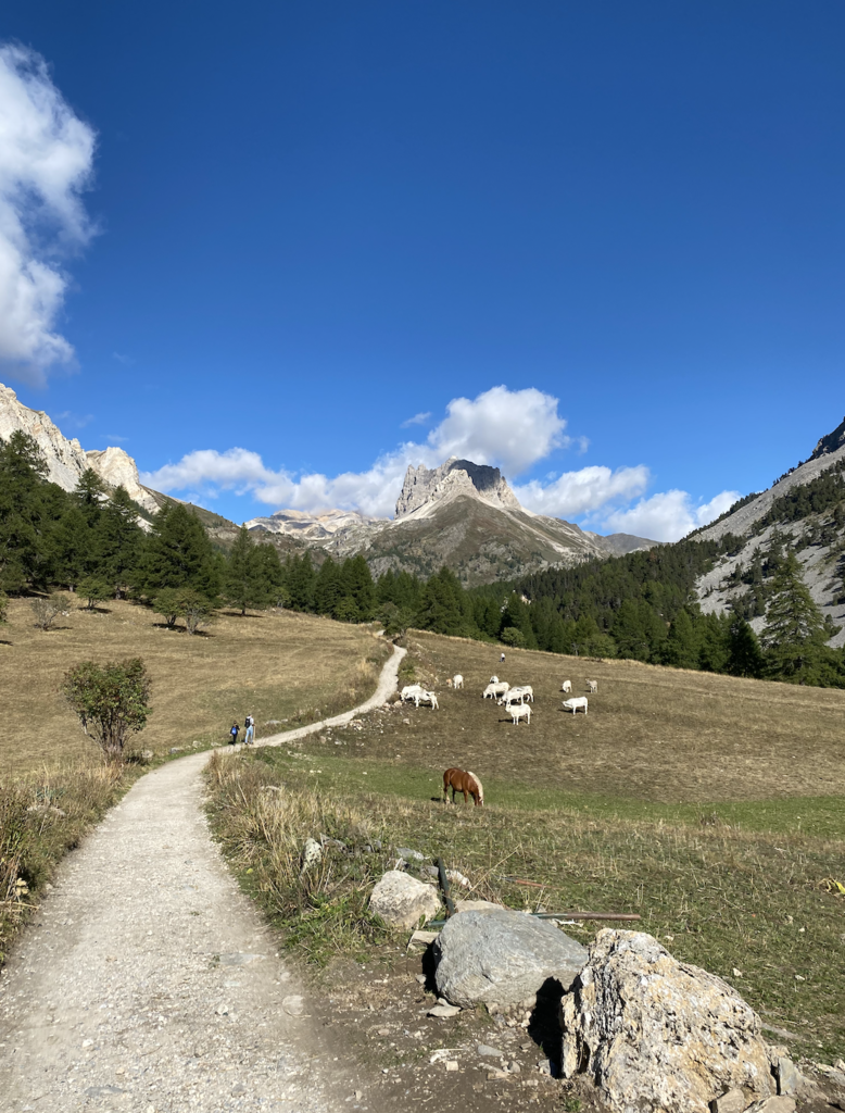
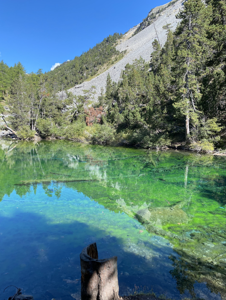
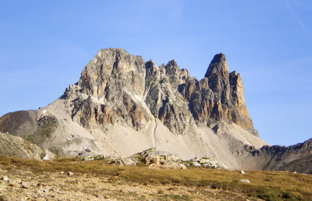
Mont Thabor, also known as Monte Tabor sits in the Alps on the border of France and Italy. The summit marked the border between Italy and France until 1947 when the Treaty of Paris passed the territory back to France. The trail itself is well-marked and provides views of the surrounding Alps, lakes, and rivers. It is mostly rocky and single-track, with some wider sections that are more packed down.
This hike begins in Valle Stretta (at Rifugi Terzo Alpini e Re Magi), passing through a small village that dates back to the 15th century. This specific route—if done counter clockwise—has about 5,000 ft of elevation gain and takes you first to the Refuge du Mont Thabor (chapel) and then to the peak of Mont Thabor which sits at 10,426 ft high.
In the summer, people from all over travel to Valle Stretta to make a symbolic pilgrimage to the Mont Thabor chapel, erected in the 1400s. This peak is also unique because it can be accessed from both Italy and France. In the winter, this area is popular for backcountry skiing.
Link to more information: https://www.summitpost.org/monte-thabor/183120