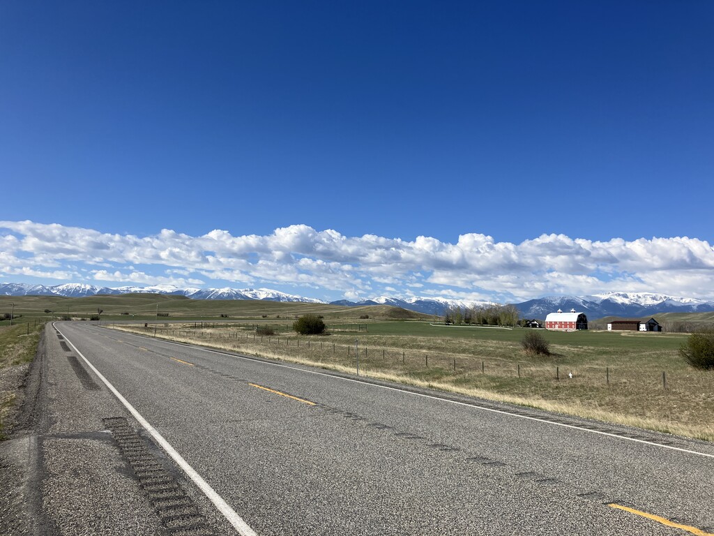
The route starts at the northern side of the I90 bridge (exit from the I90 eastbound coming from Billings, there is a South 78 Montana sign).
Then you just follow the MT 78 (mile markers and signs all the way). You'll first go through Columbus, then Absarokee and Roscoe.
Mostly flat, the third part (between Roscoe and Red Lodge) will become a bit more hilly.
Going from north to south offers amazing views on the Beartooth mountains range going through Stillwater River Valley. You'll see two rivers (Yellowstone River in Columbus, Stillwater River from Columbus to Absarokee) and a few creeks (East Rosebud creek between Absarokee and Roscoe and a few tiny ones between Roscoe and Red Lodge).
The end of the route is in Red Lodge at the roundabout crossing US 212 (I added two loops on the roundabout to round it up to 78km).
The route is 78.02 km for 1111m elevation gain (48.4 miles for 3645ft).