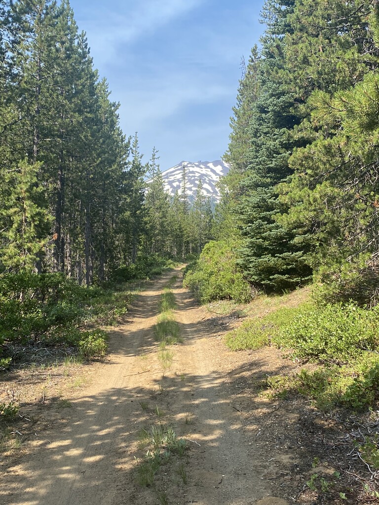
This is an iconic hike for Central Oregon. Bend area mountain/trail runners make heavy use of it for hill training. Don’t forget to enjoy the views on the way back down!
The start/finish for the FKT route is the edge of the pavement next to West Village Lodge. (See photo.) This is fundamentally a fastest-by-any-route challenge. So long as you start near West Village Lodge, you can use your choice of any open hiking trail for the ascent and descent. Per the Ski Resort website “hiking from the Sunrise base area has been permanently decommissioned and the parking area near the Sunrise base along Century Drive is permanently closed" thus this area can not be used for any new FKTs.
Mt Bachelor has a strong record of standing times from Strava records - FKT submitters are expected to beat past times known from Strava:
If you want more info about the route, here is the description on AllTrails and the Mt Bachelor Ski Resort Summer Hiking map.


Comments
Can someone clarify if this is just the ascent? Or is it out-and-back? Kinda seems like it is ascent only. Strava segment looks like ascent only is 5 miles, but distance here is shown as 6.4?
Marta, it looks like it's to the summit and back. The Mt. Bachelor ascent is pretty short. I did it last August and clocked almost 7 miles via a longer route. It's a pretty common training hill for Bend athletes.