Route: Mount Çal Loop (Türkiye)

Submitted by Furkan BAŞTÜRK on Thu, 08/13/2026 - 04:44am
Location
MuÄŸla, TR
Distance
17 km
Vertical Gain
1,126 m
Description

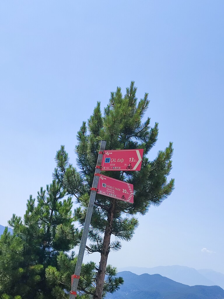
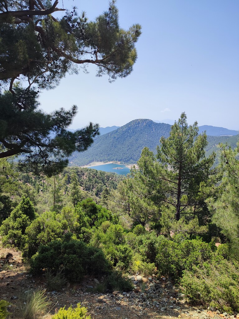
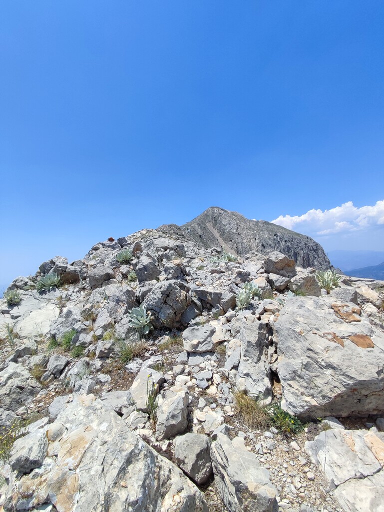
Mount Çal is a large massif located in southwestern Türkiye's Muğla Province that serves as the administrative boundary between the districts of Fethiye and Dalaman. This 17km loop starts at the Kırkpınar Plateau at an elevation of approximately 1,300 meters, and ascends a trail to an elevation of 2,200 meters over a distance of 4.5 kilometers. The final two kilometers of the route follow a ridgeline to the summit. The summit offers a spectacular view of the bays of Fethiye and Göcek. The trail returns to the starting point via a dirt road. The route includes a total elevation gain of over 1,100 meters. This loop may be completed in either direction, though it is recommended to ascend the trail and descend the road.