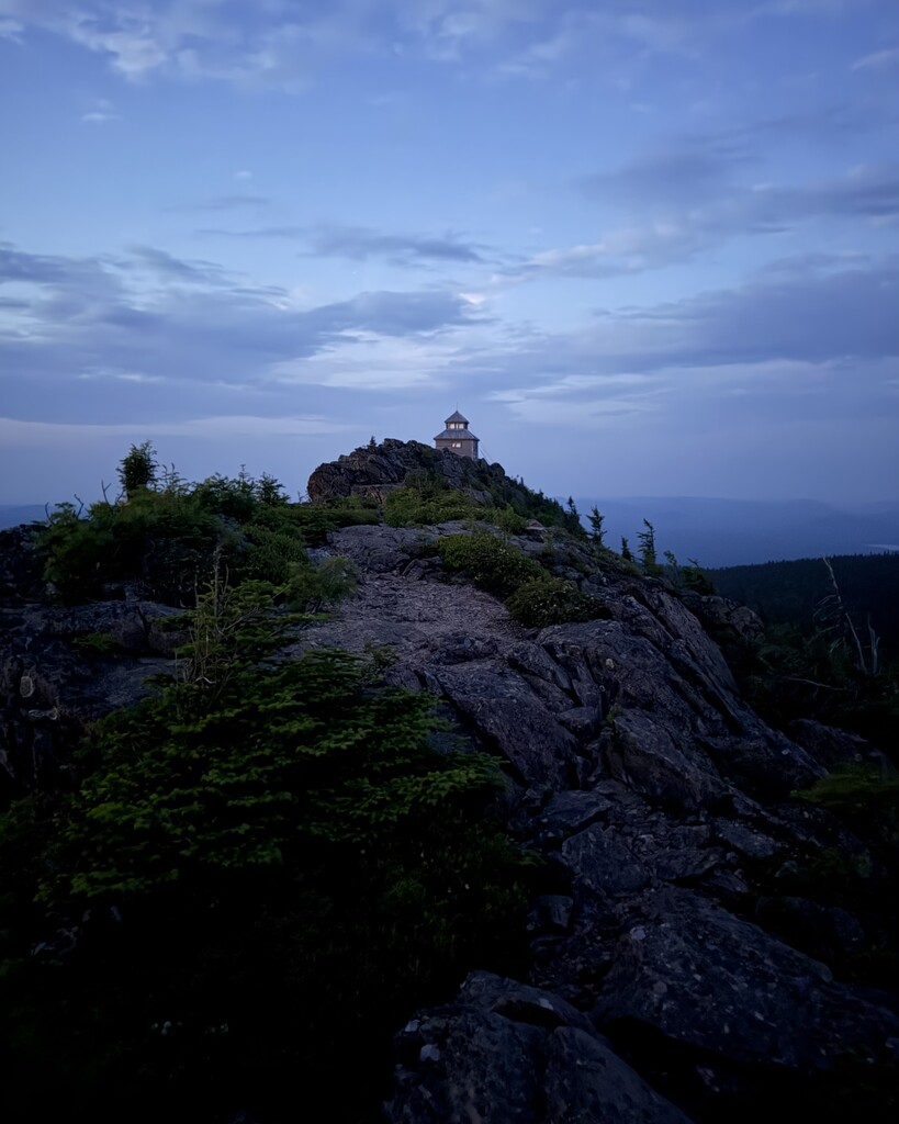
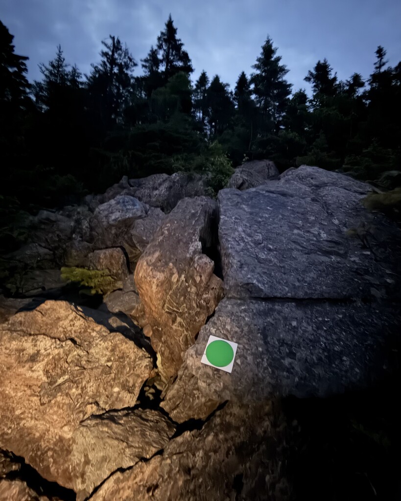
The Mount Carleton Summit Trail is a 9.3 km loop in Mount Carleton Provincial Park. It features 428m of elevation gain that follows green trail markers to the 820m apex of the mountain, which is the highest peak in the Canadian Maritimes. From the summit you have an uninterrupted, 360-degree panoramic view of New Brunswick's Appalachian wilderness, neighbouring mountains, waterways and a historic fire lookout tower that was used by spotters from 1923 to 1968. This area is designated as a dark sky preserve which makes it an unforgettable experience no matter what time you visit.
Hiking NB - Mount Carleton Trail