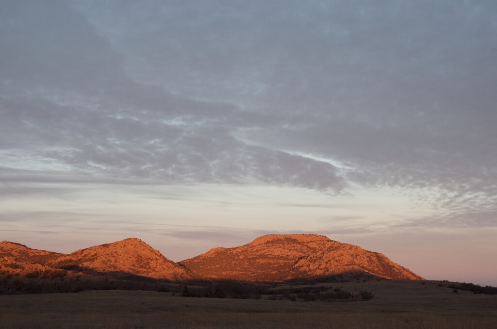
Mt. Scott is a vertical test piece for runners and cyclists in the Texas and Oklahoma region. With some of the best views in the Midwest, the smooth, paved road spirals up 1,000' over 2.75 miles to the 2,464' summit parking lot and viewpoint. How many laps can you do? How fast of a lap can you do? This route is shared with vehicles during certain days/hours. The time slots allowed for pedestrians and cyclists ONLY has changed in recent years. Currently, Mt. Scott is reserved for pedestrian/running use on weekends until noon. Be sure to check with the Wichita Mountains Wildlife Refuge for up to date rules before planning a trip.
https://www.fws.gov/refuge/wichita_mountains/visit/mt_scott.html
The up & down has a Strava segment: https://www.strava.com/segments/6693549?filter=overall If you want to claim an FKT you should beat the Strava times.