Route: Mt Agung

Submitted by Patrick McClellan on Fri, 02/03/2023 - 11:03pm
Location
Bali, ID
Distance
4.46 mi
Vertical Gain
4,157 ft
Description

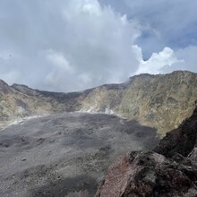
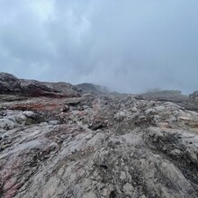
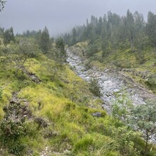
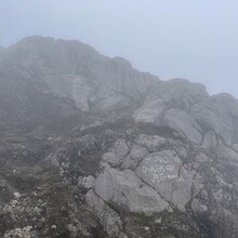
Mt. Agung is an active volcano in Bali, Indonesia. It is the highest point on Bali, and dominates the surrounding area, influencing the climate, especially rainfall patterns. From a distance, the mountain appears to be perfectly conical. At the top, there is a large and deep crater. The trail begins at the base of the mountain near the Pura Pasar temple. Most visitors hire a guide which can be found for 900,000 IDR in the parking lot. Without a guide, it costs 100,000 IDR to hike. At the beginning, the dirt trail is short and steep. Towards the top, the trail turns into a slippery rocky field of volcanic scree. It is a challenging hike with incredible views of Bali at the top. Mt. Batur can be seen from the summit, as well as the famous Mt Rinjani on Lombok.

GPS Track
Images