Mt. Jefferson is the second highest mountain in Oregon and widely considered to be the most difficult in the state, both because of the summit pinnacle/snow traverse, and the challenges involved in getting up there to begin with.
The most direct and popular route is the SW ridge, which gains about 7,400ft in a little under 7 miles from Pamelia Lake Trailhead. After ~4 miles of gradual uphill on the Pamelia Lake Trail/PCT you leave the trail and begin a steep bushwhack to gain the SW ridge. Once on the ridge the slope angle decreases a bit as you weave back and forth along the ridge while working your way up. Expect to navigate through blowdown, dense huckleberry bushes, loose scree slopes and volcanic rock of varying quality (usually bad) after leaving the relative comfort of the PCT.
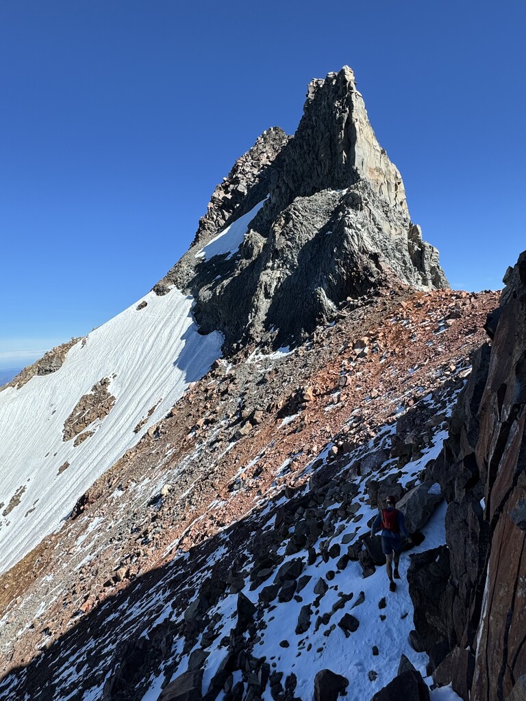
At ~7,000ft you'll hit the 'red saddle' where the snow traverse begins. Historically this was a permanent snowfield, but apparently in some recent years the snow has melted out by September. When we did it at the end of August there was still quite a lot of snow. The slope is ~45 degree or so and only a couple hundred feet long, but very exposed and a fall would be bad, so take the necessary precautions. Once past the snow there are several options to gain the summit, ranging between 4th class and 5.7.
At the top enjoy one of the best views in the state on a clear day. The stark contrast between the lush forests of the cascades and the high desert prairie is noticeably more visible on Jefferson than the other volcanos in the state. Reverse course and go back down the way you came up, making use of some of the longest continuous scree ski descents in the OR cascades.