Route: Mt. Yōtei

Submitted by gabriel-j-young on Sun, 10/25/2026 - 06:32am
Location
Hokkaido, JP
Distance
11.6 km
Vertical Gain
1,622 m
Description

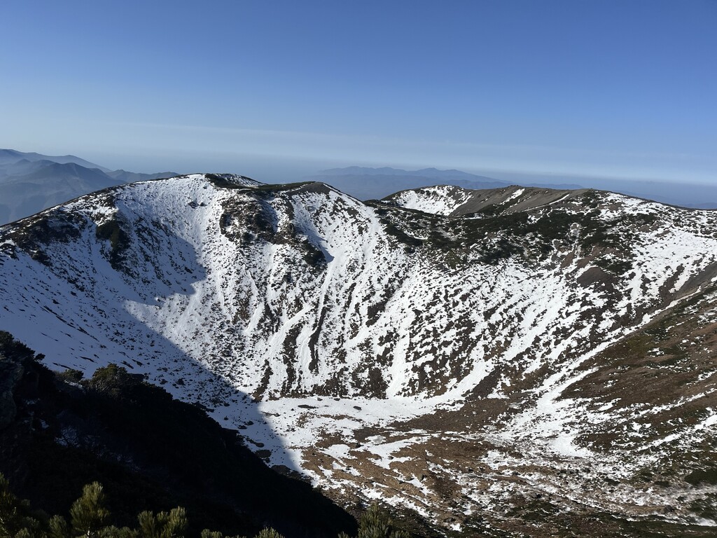
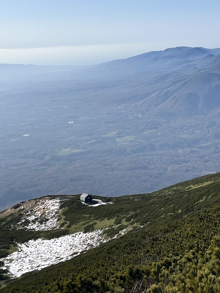
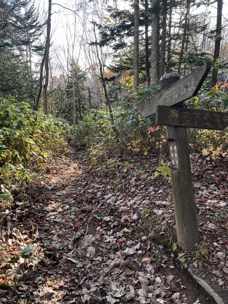
Mt. Yōtei (1,898 m), also called Ezo-Fuji because of its resemblance to Mt. Fuji, is a prominent volcano in southwestern Hokkaido and one of Japan's 100 Famous Mountains. Like Fuji, it is a near-symmetrical stratovolcano capped by a large summit crater. Unlike Fuji, most of the climb is through forest, and the trail can be very muddy depending on conditions. Above the treeline, around the 8th–9th station, you're rewarded with alpine terrain at a relatively low altitude thanks to the mountain's northern latitude. Mt. Yōtei dominants the skyline from any of the niseko-area ski resorts.

I went up the Kutchan (hirafu) trail (比羅夫), touched the true summit by running clockwise around the crater rim, then descended via the Makkari trail (真狩). This japanese site outlines the route: https://yamap.com/model-courses/14348

Note that there are four common trails up, and this submission uses two of them.

Images