Route: Muthanna Desert 110K (Iraq)

Submitted by Chris Ramsden on Wed, 03/05/2025 - 02:03am
Location
Iraq
Distance
110 km
Vertical Gain
850 m
Description

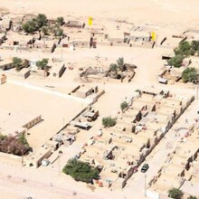
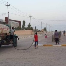
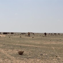
Open desert trail trail from the Bedouin Water point and Norwegian People's Aid Camp settlement area, (29°17'00.3"N 46°31'46.7"E) 20kms NNW of the Iraq/Kuwait/Saudi border to the village of Bussayyah (30°06'49.3"N 46°06'30.8"E) both of which are the only populated areas in the area and very easy to locate. The trail is sand/gravel with some sections (20%) of soft sand along the route. There is multiple tracks to follow as the area is completely flat and open excepting some very small rises and falls in places of not more than +/- 3 meters per instance. A rare opportunity to run in a remote and exotic location, with (in the fertile seasons (October - March) opportunity to see many camels and local Bedouin settlements, lizards and other wild life.    

GPS Track