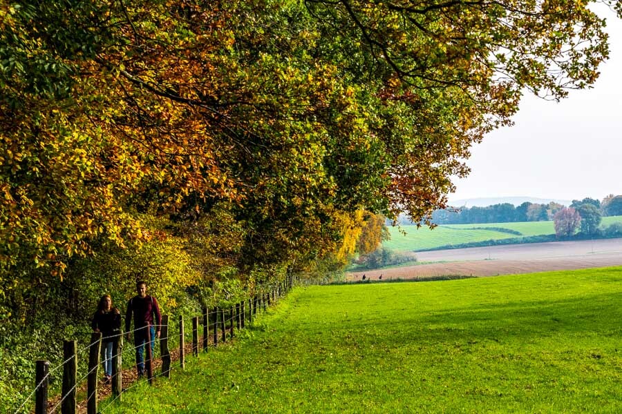
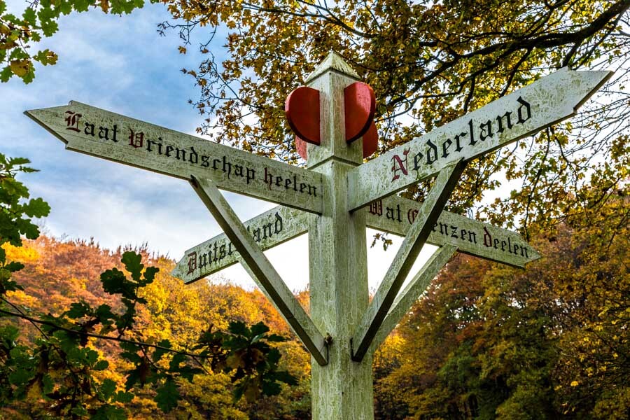
Location
Netherlands
Distance
13.9 km
Vertical Gain
440 m
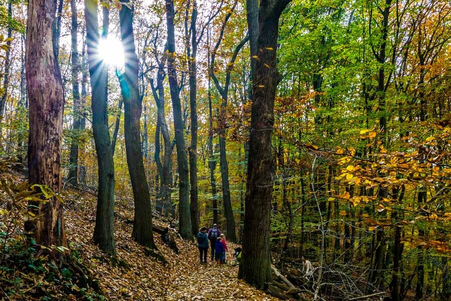
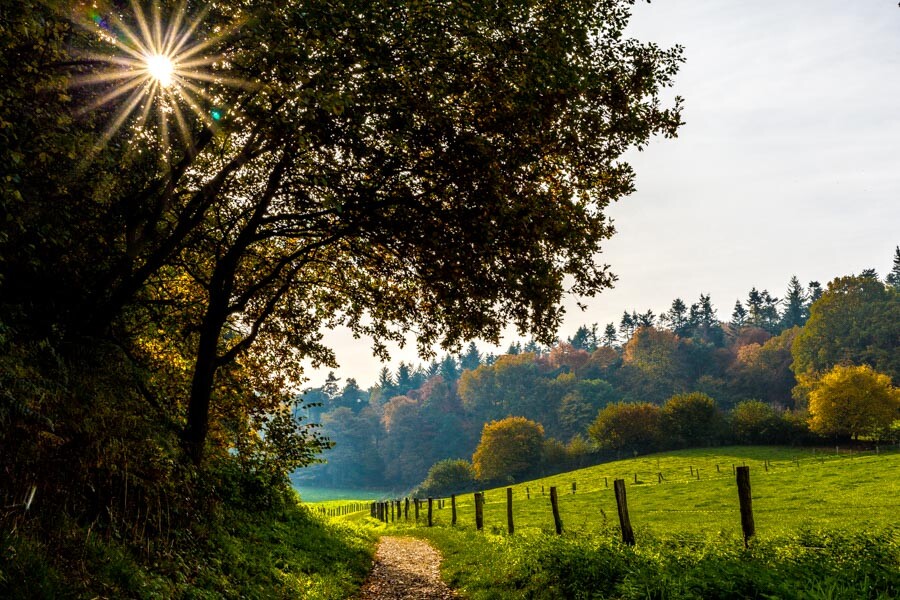
Description
GPS Track
N70 kort.gpx31.03 KB
FKTs
Male
Female
| Stijn de Looijer | 59m 27s | ||||
| Luuk Wijering | 59m 35s | ||||
| Mathias Welz | 1h 6m 38s | ||||
| Ruben van de Wal, Bart Bunschoten | 1h 22m 16s | ||||
| Dion Slijp | 1h 24m 17s |
| Joanne Lehr | 1h 15m 41s | ||||
| Jiske Tiersma | 1h 45m 9s |
Images


Comments
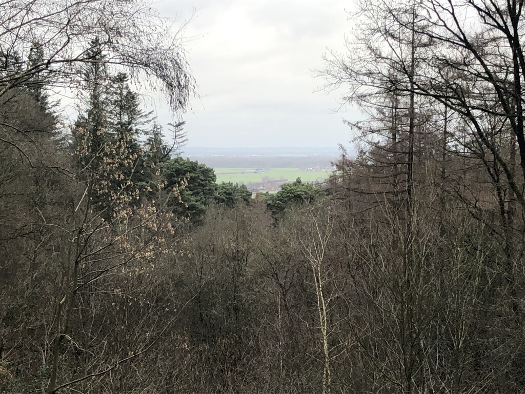
I did a round to assess the trail and marking. Did a full round first and then a half round at the north-west section. The path is well marked now with light green posts. Today was super muddy due to rain the past days and the fact that this path and many more in the area are well visited the year round. An interesting pat with great views in may places.
/Torben