If you prefer a non-trail long distance NH N-S here is the option.
Unforgettable views, amazing mountain roads and trails, small town community and big city lights. This one has it all!
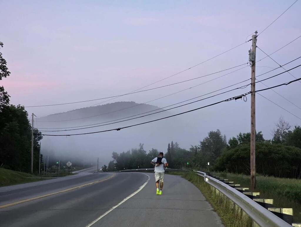
For those craving an FKT that combines wilderness isolation with serious mileage and winding mountain roads, this route delivers in full. Beginning at the Canadian border, this near-200-mile journey cuts through dense northern forests, crosses countless rivers and streams, and skirts the edges of many lakes throughout the state.
You’ll weave through northern New Hampshire and the beautiful White Mountains, dipping in and out of moose country, covered bridges, and old train stations for much of the journey before reaching Tilton where the state becomes more populated. You will work your way through many bustling towns and city’s where you’ll trade pitch black nights for city skylines till you finish through Nashua at the Massachusetts border.
This is an open-corse route, which means you carefully plan your own route taking care not to be on dangerous roads or do hazardous crossings. Also it is worth to scout for shelters, stores, water and other amenities of value to your trip. The applied GPX is a great proposal that is almost as straight as can be.
The start/end at the north is at the border with Canada on route 293, close to Stewardstown (note that this is in Vermont), while the south end is on Daniel Webster Hwy at the border with Massachusetts close to the Phesant Lane mall.