Route: Newcastle Way (Northern Ireland, UK)

Submitted by ivanmill@ on Mon, 11/09/2020 - 01:57pm
Location
United Kingdom
Distance
41.5 km
Vertical Gain
700 m
Description

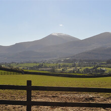
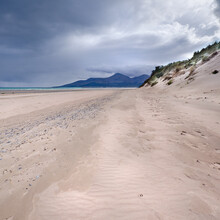
This 42km circular route offers a perfect snapshot of life in rural County Down. The combination of forest trails, quiet, undulating country lanes and the long, golden Newcastle Beach ensures constant scenic diversity. All set within striking distance of Newcastle’s traditional, seaside-resort hospitality.

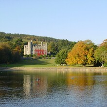
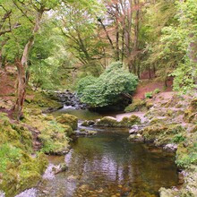
The well sign-posted route starts and finishes on the Newcastle promenade, heading along the sweeping beach past Murlough nature reserve and into the Dundrum bay estuary before following country lanes and bridal ways to Castlwellan. After entering the forest park, follow trails that take you around the park lake and returning into Castlwellan before following more bridal ways into Tollymore forest park. Here the route takes you down to the pretty Shimna river before climbing up behind the two hills known as the 'drins'. The route then drops down and into Newcastle via a series of wooded areas and town parks.

A more detailed description of the Newcastle way can be found on the walkni website here: https://walkni.com/walks/newcastle-way/

The route on strava is available here: https://www.strava.com/routes/2760615280835218556

GPS Track
Images