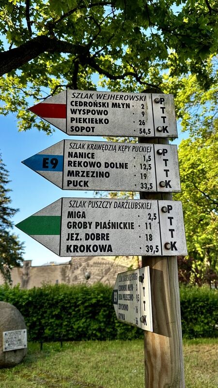
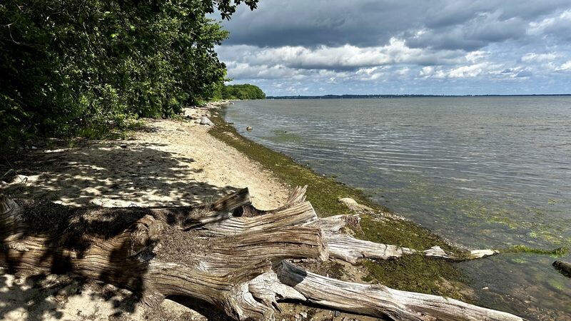
The trail on the coast forms the south-eastern section of the loop of trails leading around the Puck Peninsula. It runs along the edge, along the border, which is marked by the Reda-Łeba Valley in the south and the Kashubian Valley in the east, as well as the shore of the Puck Bay.
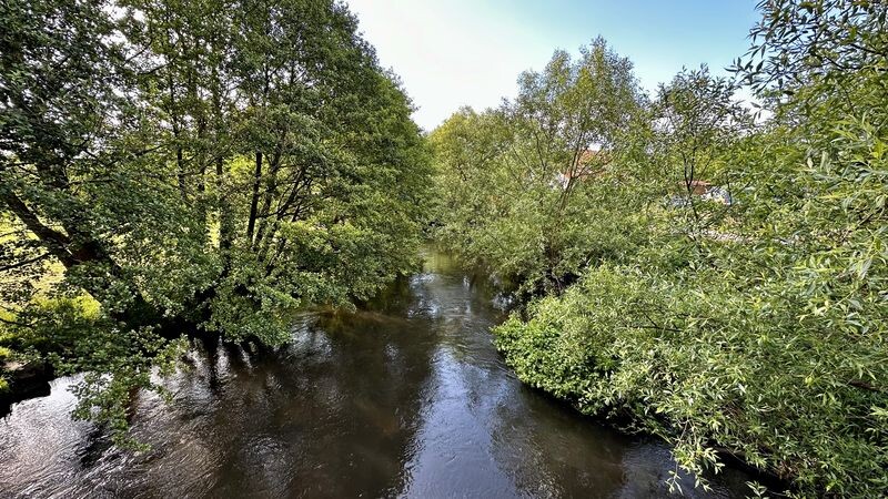
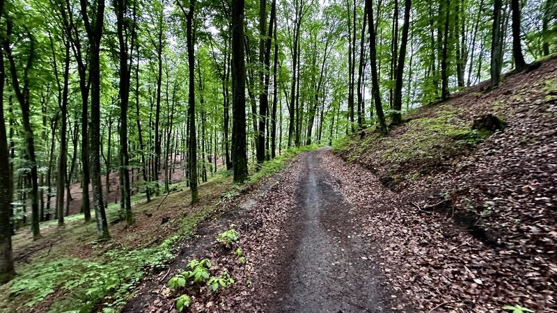
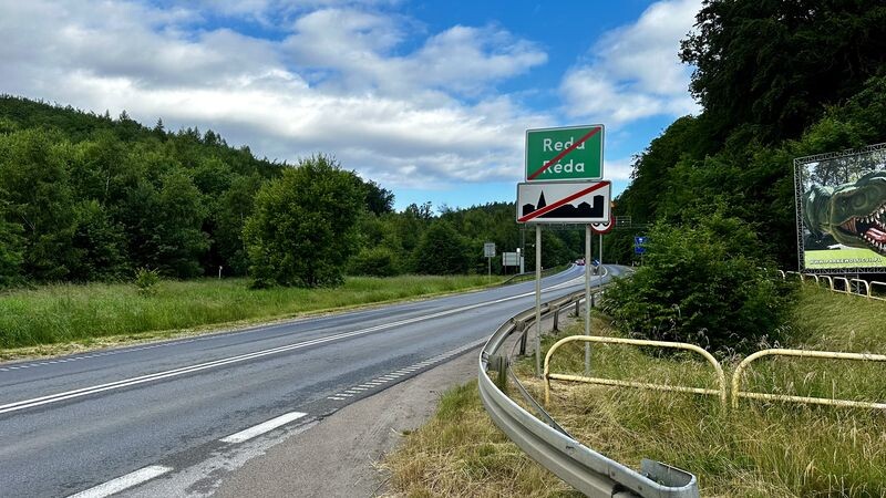
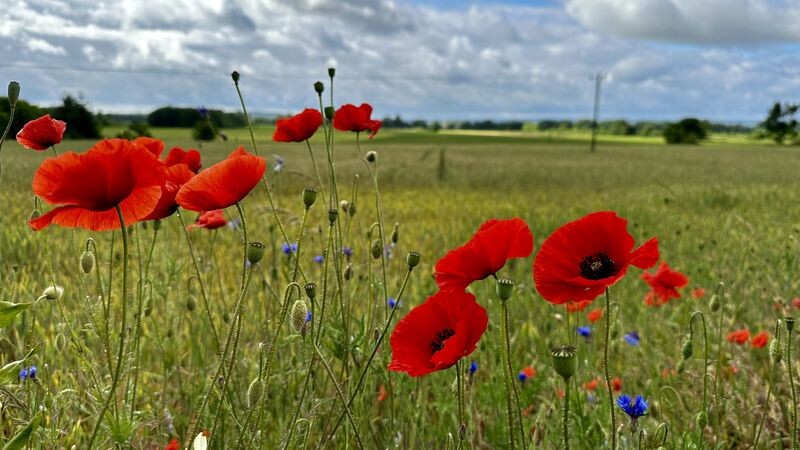
It starts at the railway station in Wejherowo (together with other trails). Thus, two sections of the trail are distinguished: Along the Valleys from Wejherowo to Mrzezino and Mrzezino - Puck, which can be called the Bay Shore. The initial section of the trail is rather forested, undulating, later it is exploring the towns located on the edge of the Peninsula. The Darżlubska Forest in this section (between Wejherowo and Reda) rises and falls. This terrain formation makes the trail not boring. Further behind Reda it is already more flat. Rzucewo, located in the central part of the trail, has numerous connections with King Jan Sobieski. A beautiful, though very old, lime tree avenue named after him leads to it from the south. Here, running along a long straight asphalt, you can admire the intense vegetation on both sides of the road (little frequented). In its extension, in a charming neo-Gothic palace (in Rucewo), there is now the Sobieski hotel. On the trail, due to the fact that it runs along the edge of the peninsula, there are many views of the Valleys and the Bay. The trail is particularly attractive due to its scenic values and is therefore recommended for spring-summer travel. It is only suitable for cycling in fragments. The final section is a bit more difficult (along the edge of the Puck Bay), but basically not very difficult to complete - by running. By bike, you should turn inland as the edge of the bay is not passable. The trail ends in Puck at the PKP station.
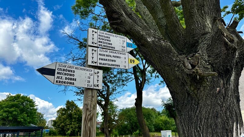
The trail is 33.7km long and in the initial section (Wejherowo district) it is poorly marked (you should have a map or gpx track). Starting from Reda, the trail is very well marked (all the way to Puck).