The Route is comprised of summiting every named high point (minus 2) in the Medicine Bow mountains east of Walden, CO, from where the range first breaks tree line at the Jack Dickens trail, to where the range ends at Cameron Pass.
The start and end points (you can go either direction) are the east wall of the pit toilet at the Jack Dickens Trailhead, and either the wooden fence at the intersection of the Diamond Peaks Trail and Bockman Road descending west straight off of N Diamond Peak (the southernmost major peak of the range), excluding S Diamond Peak, or the 'Colorado' topped sign at the Cameron Pass Picnic Area just off Co-14, descended to via the Diamond Peaks Trail heading west off of S Diamond Peak (a sub-summit of N Diamond Peak). Both descents are approximately the same length and descent and both are acceptable start/end points.
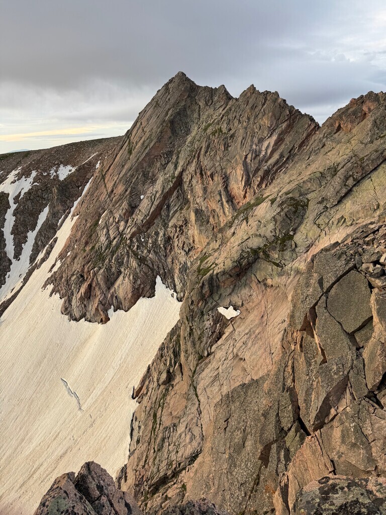
Skippable peaks - Island Lake Peak (class 5 required to traverse the ridge both to get to it, and to get off of it to Mt Ashley - to bypass you descend from Rawah Pyramid and regain via the NE ridge of Mt Ashley), and Snowbank Peak (stout class 3/4 to summit and descend, can be contoured around easily). The technical demands of these peaks exceeds the spirit of this line, which is that of a very long, beautiful, technically accessible ridge run. The final skippable summit is S Diamond Peak if one elects to begin or end at the Bockman Rd start.
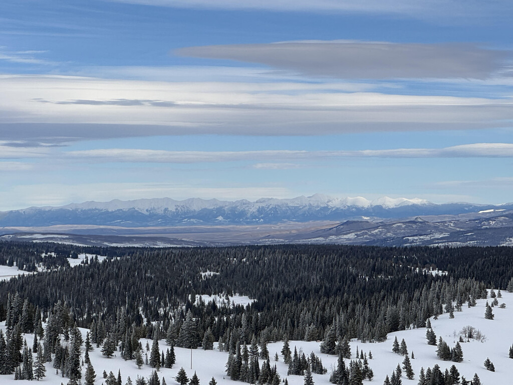
I was inspired to create and attempt this route by Justin Simoni's Northern Sangres Loop FKT route, as well as this youtube video which I first saw several years ago, who's maker named it the Great Rawah Traverse - https://www.youtube.com/watch?v=tsoRtD4NEQk. I've driven through Walden and adventured in North Park many many times and have wondered how this area gets so little love within Colorado - the valley is completely surrounded by 5 mountain ranges - the Rabbit Ears range to the south, the Park range and Zirkel Wilderness to the west, the Snowy Range of Wyoming a bit to the north, the Never Summer range to the southeast, and cutting a jagged skyline to the east, the Medicine Bow Peaks, guarding the Rawah Wilderness behind.
I first envisioned this as a loop, winding back through the trails and roads of State Forest State Park and the adjoining land, but I found out, rather unfortunately and to my great chagrin in the moment, that the return route is not possible without extensive trespassing on private ranch property, which I do not recommend. I was out of food and water and the sun was setting, so I did what I had to. It is possible to make this into a loop you can bike the return on with public roads and trails if begun from the NE east side via the Rawah trailhead, but this adds 11 miles of initial approach below treeline which I believe negatively impacts the spirit of the line for FKT purposes.
Thus, I think this route is best done as a point-to-point, gaining the ridge where it first breaks treeline via the Jack Dickens trail from the Jack Dickens trailhead, and then traversing (nearly) the entire eastern skyline of North Park, including the range's monarch Clark Peak at 12,949 ft. Last summer I attempted this route (N-S) and was unfortunately chased off the ridge top by thunderstorms just north of Montgomery pass, but will be back to attempt the full traverse, likely going in the reverse direction (S-N) as the profile that way has 3000 feet less climbing.
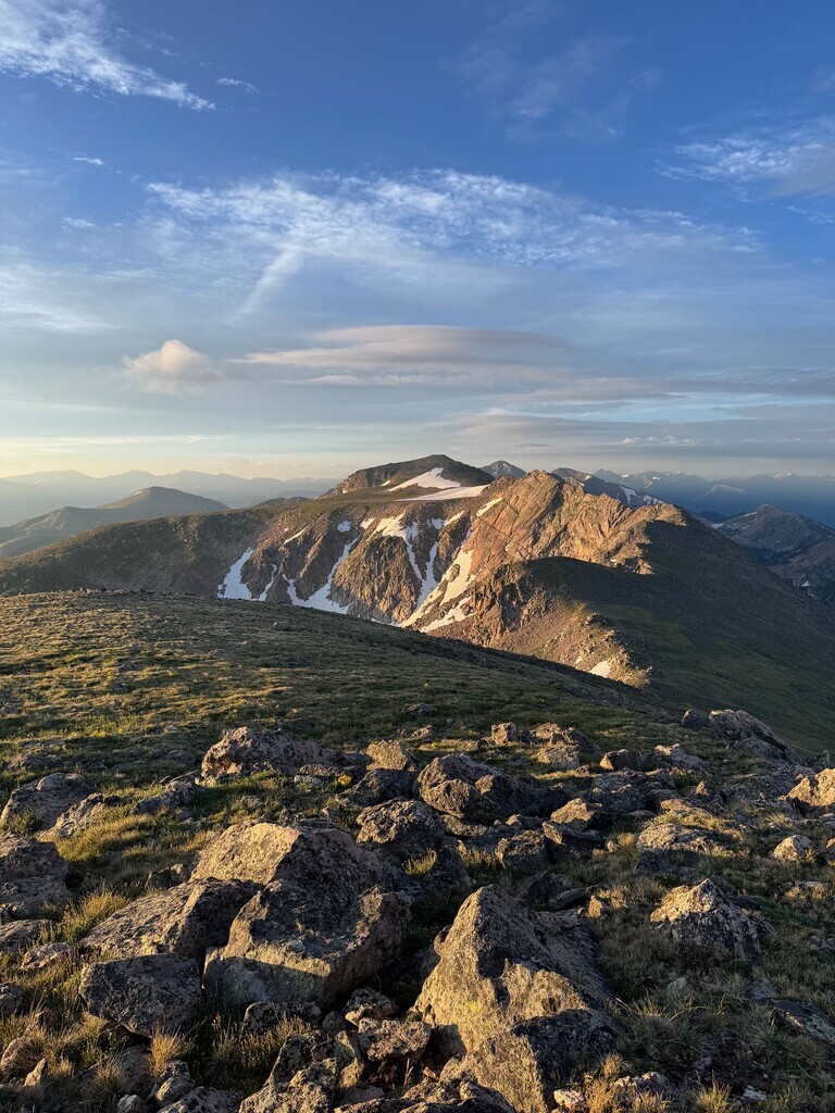
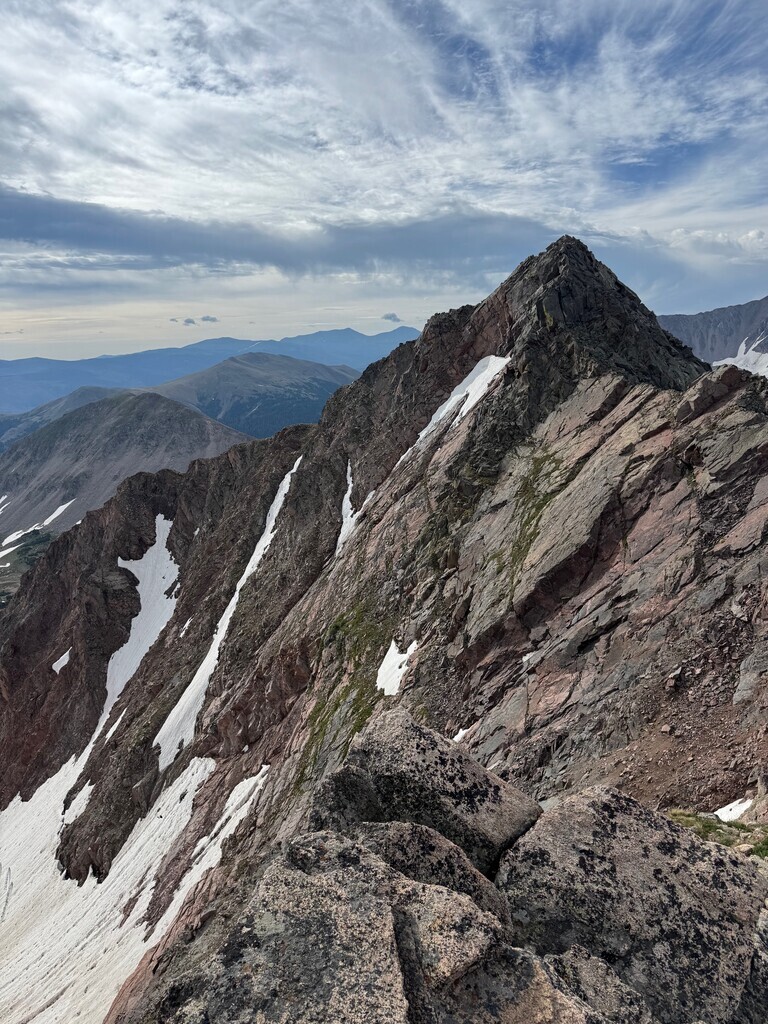
The route is mostly grassy class 2 with extended sections of talus, and you drop off of the ridge for only one drainage around Island Lake to avoid hard class 4 and 5 terrain on the ridge. The scramble to/from the ridge via the NE ridge of Mt Ashley just south of Island lake is hard class 2 (class 3 if you don't route-find well) and is the most difficult section of the route. Though the world drops away from you on both sides for much of this route, providing staggering views, you never have to go ridge-direct anywhere with much exposure.
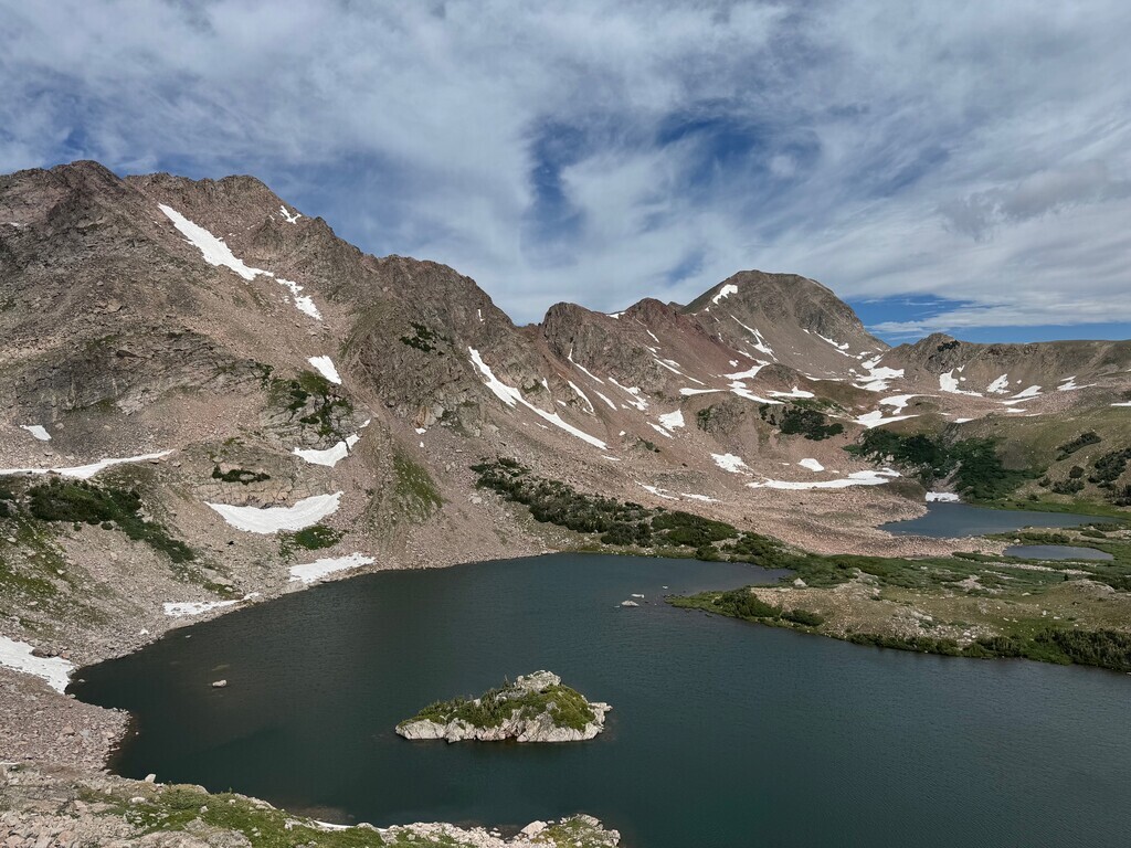
With the immense snow load this range receives, there is water accessible on the ridgetop every 2-3 miles (often in melt streams or kettle holes). If you see kettle holes on mapping imagery near snowfields, it’s likely you’ll find water there, even on the ridge top itself. This combined with the low technical demand makes this an enormously rewarding, while also very accessible and approachable unsupported ridge traverse.
I hope you'll accept this route for a gorgeous and accessible FKT in the beauty of North Park!
An incomplete first attempt from July 2025 - https://www.strava.com/activities/15178112818