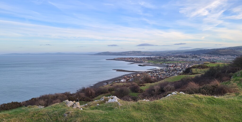
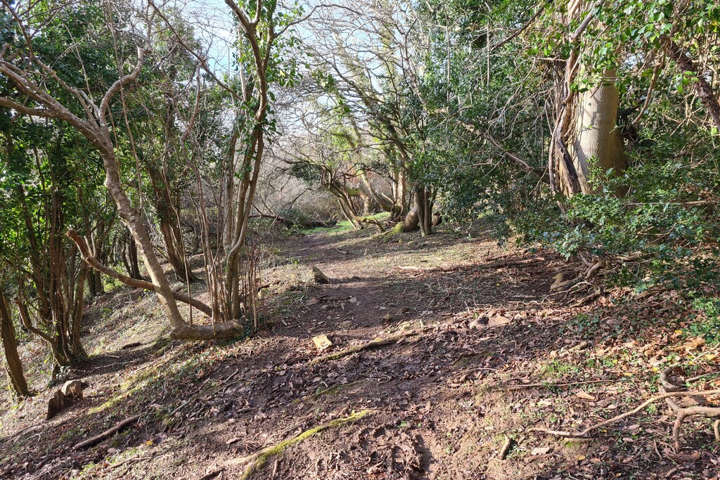
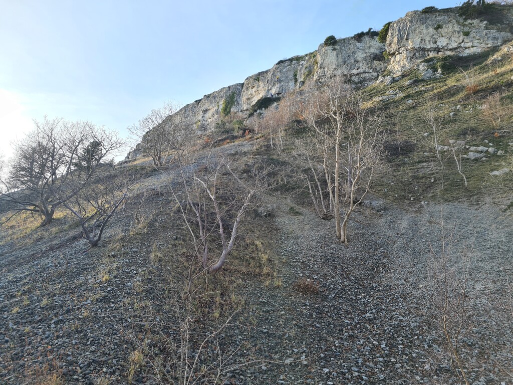
The North Wales Path (or Llwybr y Gogledd as it is known in Welsh) is a long distance path that runs between Prestatyn and Bangor. It passes through a variety of landscapes including towns and villages, coastline promenades, rural farmland, woodlands and the foothills of Eryri (Snowdonia). Some of its notable highlights include the views of the coastline from Dyserth, Rhuddlan castle, the seaside town of Llandudno, the Great Orme, Conwy castle, Sychnant Pass and Aber Falls.
Although many sources state that its length is 60 miles, the distance as recorded by GPS is at least 64 miles (103km) with a vertical gain of approximately 6,600ft (2000m).
A map published by Conwy council shows the route passing through Tregarth and Bethesda but it appears this was later changed to an alternative route passing through Tal-y-bont. It also marks the Eastern terminus at the main bus station in Prestatyn. However most GPX files online show the terminus at Nova Prestatyn leisure centre, which is also the Northern terminus of the Offa's Dyke Path. This variation appears to be the one mostly commonly used.
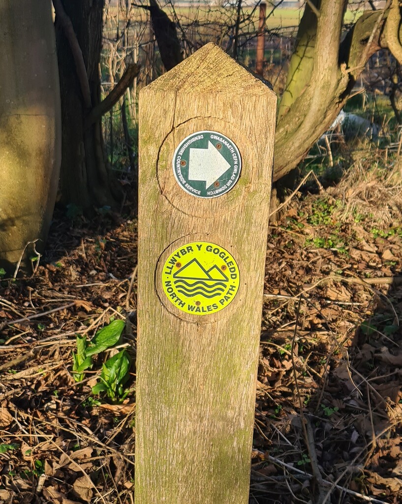
Signposting of the path is somewhat sporadic and therefore good navigational skills are required.
https://www.conwy.gov.uk/en/Resident/Leisure-sport-and-health/Coast-and-Countryside/Assets/documents/Wales-Coast-Path-North-Wales-Path-Maps.pdf