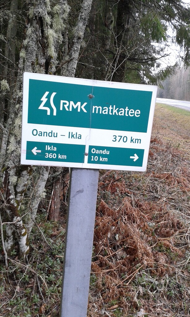
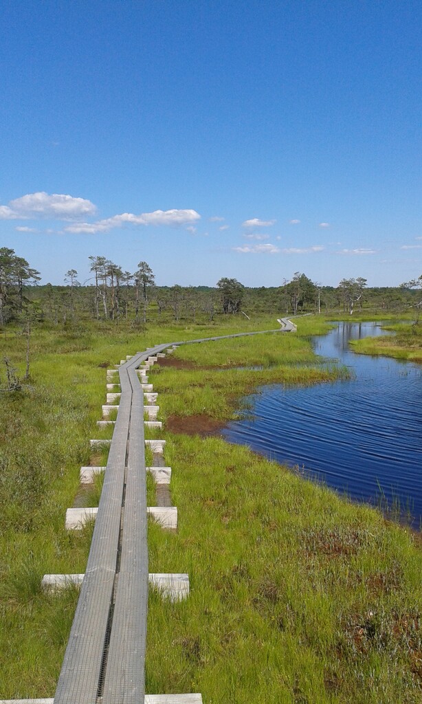
Oandu – Aegviidu – Ikla hiking route is the most popular long-distance hiking trail in Estonia, going through the whole country. Covering 370 km, the trail starts in northern Estonia, at Oandu Visitor Centre in Lahemaa National Park and leads the hiker through the dense forests of Kõrvemaa and then onto the Soomaa National Park – one of Europe´s biggest bog landscapes. Passing through a total of six counties, two national parks and nine natural reserves, the hiking trail ends at the border between Estonia and Latvia in Ikla village.
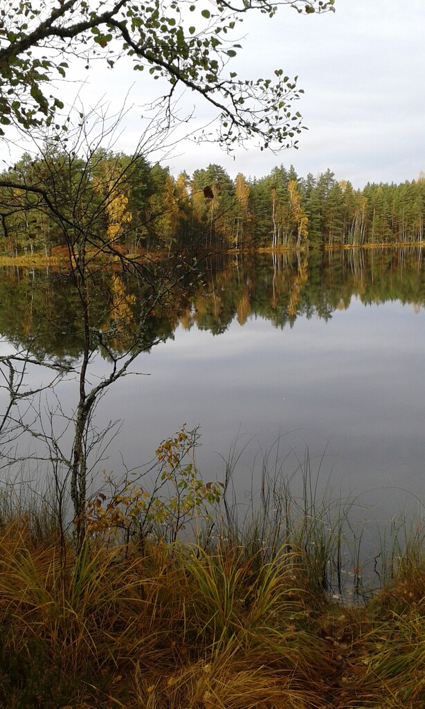
What makes this route so special is diversity of landscapes, beautiful natural sights and rich wildlife – along animals, like deer, elk, wild boar, wolf, fox, lynx and beaver, many hikers have met our largest predator – the bear.
The trail is marked with kilometer posts, signs on turning points and white-red-white paint markings. There are six big information boards by the trail, that talk about Estonian forestry and the country´s forest-related heritage and culture.
Created in 2012 by State Forest Management Centre (RMK), this route is in to-do list of every hiking enthusiast in Estonia and is gaining popularity among the visitors from other countries.
Links:
Website
RMK Mobile App
Oandu-Ikla Aegviidu route on Google Maps
Start: In front of the house of Oandu Visitor Centre
Finish: At the Estonian-Latvian border in Ikla.