Route: Ocean Drive Route

Submitted by bpaulson on Sat, 05/31/2025 - 10:18am
Location
New Jersey, US
Distance
50 mi
Description

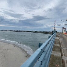
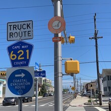
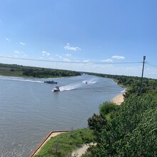
This route follows the Ocean Drive route through Atlantic and Cape May county that utilizes a number of local toll bridges to connect a number of South Jersey beach towns. Starting at the north end of Atlantic City and ending at Sunset beach in Cape may, this route connects Atlantic City, Ventnor, Margate, Longport, Ocean City, Strathmere, Sea Isle, Stone Harbor, Avalon, The Wildwoods and Cape may running through the beach towns and along the toll bridges that connect these routes. 

According to the Wikipedia page, this route was originally thought of in 1934 as part of the New Deal which created the Cape May County Bridge Commission. It took roughly 14 years but around 1948, the final bridge work was complete thus connecting all the barrier islands from Atlantic City to Cape May. 

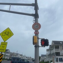
Known locally by the "follow the gull" signs along the route, this route serves as a great connector of all these iconic Southern New Jersey shore towns. It's a must for any ultra runner with any connection to the area. 

GPS Track