This route can be run in either direction (North to South or vice versa), but the descriptions and mile markers below presume one starts at the northern point.
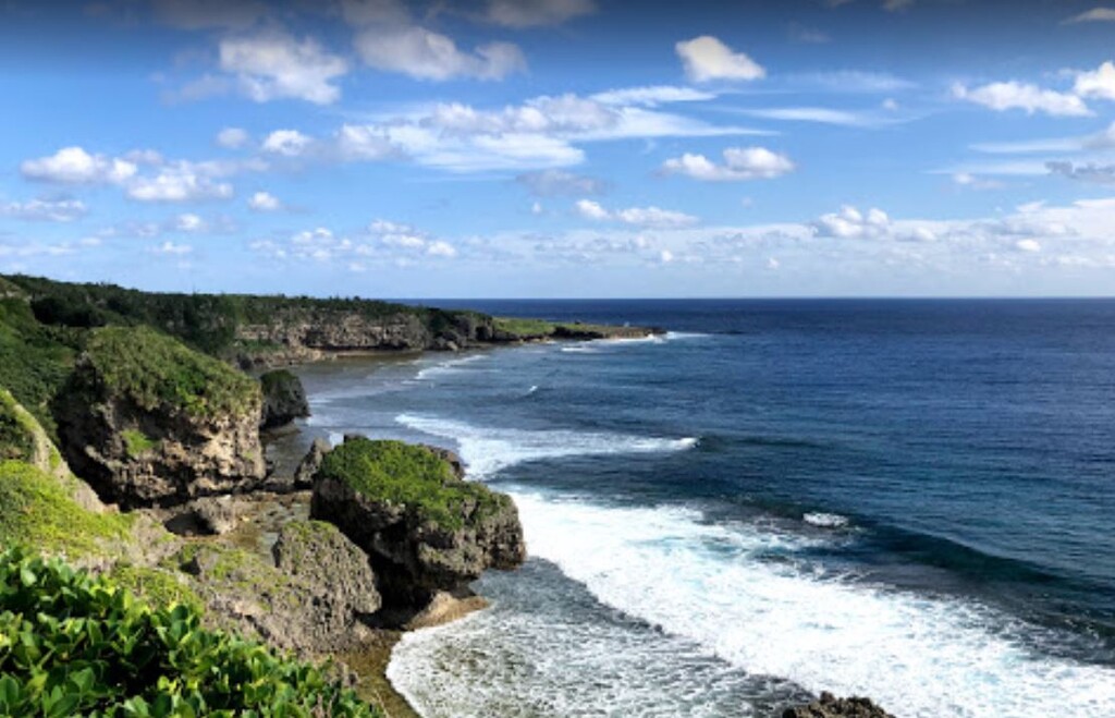
This the first FKT submission for Okinawa. Starting at the northern tip of Okinawa (Cape Hedo), this route follows Okinawa's oldest intraprefecture highway, Route 58, along the west coast. Beautiful scenes of beaches and ocean are plentiful along this route, along with many crossings through small towns enriched with Okinawan history and beauty.
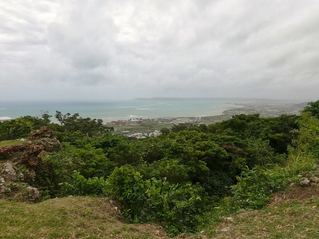
At nearly 60 miles, the route cuts to the east and south, skirting along one of the largest US military bases on Okinawa (Kadena). The route does not require access to the base, but the runner will be able to see a landmark base that was established post-WWII and has had a major impact on US and Okinawan history.
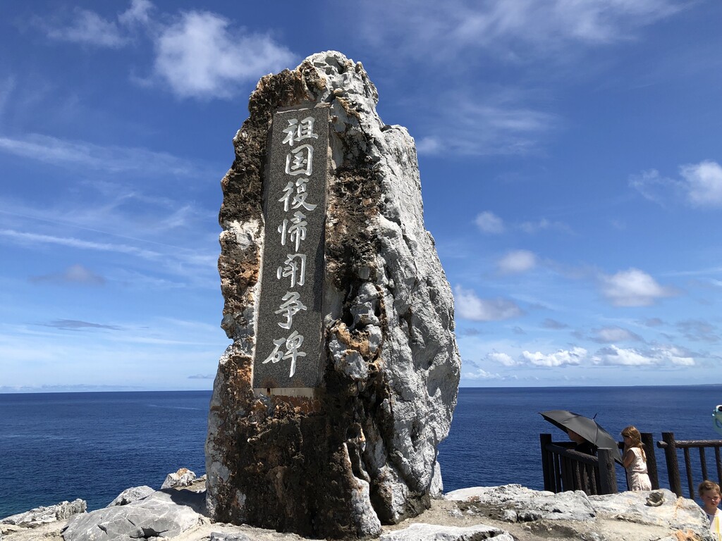
After crossing to the east coast, the runner will once again snake along a winding and beautiful coast, running past multiple castle ruins (some of which are UNESCO World Heritage sites) and quaint Okinawan fishing and farming towns. At mile 95, the runner will have the opportunity to traipse through Peace Memorial Park, a somber reminder of the lives lost during WWII, with multiple memorial walls inscribed with the men and women who died in and around Okinawa (including US, Okinawan, British, Australian, and other Allies).
At the finish of Cape Kyan, another beautiful overlook awaits, offering a full panorama of gorgeous ocean meeting rocky shores.
Points of interest:
Start: Cape Hedo
https://goo.gl/maps/5TvKof8e75eTG4um8
Run south past Usahama Ruins
https://goo.gl/maps/owP2GwQ9egAFUfgA8
Head west on historic Route 58 and traverse south along west coast of Okinawa
2.0 mile: Ginama Fishing Harbor. Beautiful overlook of fishing port
https://goo.gl/maps/deFaZCudVwcnAV9z7
6.0 mile: Scenic overlook of ocean and parking area
https://goo.gl/maps/gV5XKtJVSpSmdbA26
10.5 mile: New Yona Tunnel Monument
https://goo.gl/maps/6HzAZFJck2AyxhzA7
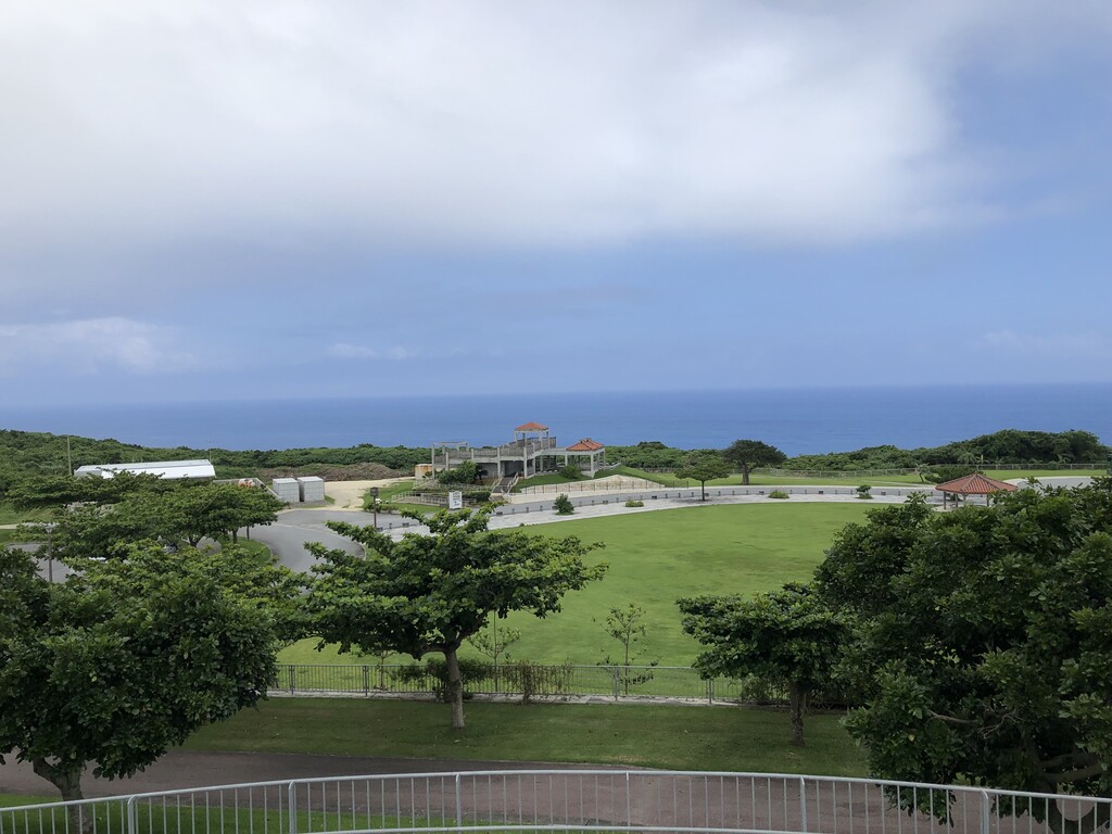
19.5 mile: Yuinohama Park, scenic area
https://goo.gl/maps/HU33ztRimLU83jc99
22.5 mile: Scenic overlook with parking
https://goo.gl/maps/ujkUjee73HzP8JDVA
31.5 mile: Tapic Stadium Nago and Seikinomori Beach, scenic area
https://goo.gl/maps/skF1MmW5SCep7Qe89
37.5 mile: Nago Citizen Beach, scenic area
https://goo.gl/maps/y3nYzLqpD7A2sGb48
41.5 mile: Mission Beach, scenic area
https://goo.gl/maps/nreeX51KCQQC7c7y8
46 mile: Onna Village Community Ground, park and scenic area
https://goo.gl/maps/iyGg7DUQEex9GcEq7
60.5 mile: Yaeshima Park, scenic area, near US Military Kadena Air Force Base.
https://goo.gl/maps/ovfFro9oZ9uxPrkv8
69 mile: Nakagusuku Castle
https://g.page/nakagusuku-jo?share
82 mile: Teda Ukka scenic overlook and beach
https://goo.gl/maps/EYkfc9DNMYnVat2G8
95 mile: Peace Memorial Park
https://goo.gl/maps/qp6i5oBZX5GXaAa86
100 mile: End at Cape Kyan
https://goo.gl/maps/hkwwTi1wAtDC2eJC8
Comments
I am planning to attempt this FKT on Sunday, 18 December, starting around 0700 JST, from North to South. I will try to post a link to a livetrack once I begin, and hope to complete the route in 24 hours (or less!). Fingers crossed, giddy up!
I am going to try this run on 27 Dec! North to South.