Route: Ol Doinyo Lengai (Tanzania)

Submitted by ollycohen on Mon, 09/09/2024 - 10:43pm
Location
Tanzania
Distance
9.5 km
Vertical Gain
1,603 m
Description

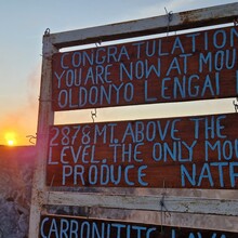
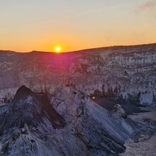
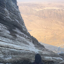
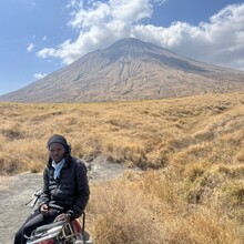
Ol Doinyo Lengai is known as the “Mountain of God” by the native Maasai living around the mountain. It is an active volcano with a perfectly symmetric cone. When you climb over the rim of the crater, you can see and hear the lava bubbling and spewing inside. The volcano has a uniquely cold type of lava, and a sign at the top claims that the lava is the coolest in the world.

The ascent is very steep. From the rim of the volcano, the views are breathtaking. You can see both sides of the Great Rift Valley, as the volcano sits squarely in the middle of it. You can also just make out the southern edge of Lake Natron, which is home to 75% of the world’s flamingos.

The GPX for this full route includes a walk around the rim and trip to the true summit. However, submissions for Fastest Known Time should be from the trailhead to the signpost at the rim of the crater, as indicated by the GPX for the ascent. There is only one route from the trailhead to the signpost at the rim of the crater while there are a multiple ways to get to the true summit from the crater. 

Trip Report: https://bigdumbadventure.substack.com/p/magadini

GPS Track
Images