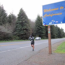
This is a road run of the Oregon coast, border-to-border, generally following US Hwy 101, except veering off for a bit when 101 gets too dangerous.
Described northbound (you may run either direction): Start at the border of CA/Or on US RT 101 and head north through Gold Beach, Port Orford, Bandon, Coos Bay, Reedsport, Florence, Yachats, Waldport, Newport, Lincoln City, Neskowin. Total Distance ~261 miles.
Make Left on Brooten Road and go through Pacific City and Sandlake. Total Distance ~12 miles.
Make Left on Cape Lookout Road (which changes to Whiskey Creek Road and Netarts Bay Rd) and go to Netarts. Total Distance: ~12 miles
Make Right on Netarts Highway (131) and follow all the way into Tillamook where you rejoin Rt 101. total Distance:~ 6 miles
Stay on Rt 101 through Bay City, Garibaldi, Rockaway Beach, Nehalem, Manzanita, Seaside, Gearhart, across Young's Bay into Astoria with the end point being the on ramp to the Astoria Bridge and "Welcome to Oregon" sign. Total Distance ~64 miles
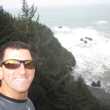
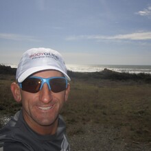
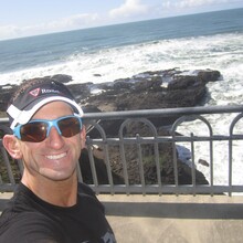
The entire coast of Oregon is beyond special. With large runnable climbs, spectacular views, sand dunes, bridges, waterfalls, and quaint towns, it is a challenge that is not too challenging. It provides the wonders of train running because of the views with the ease of road running and with amenities available constantly for either supported or non supported.

Comments
Does anyone know what Dane's time was?
I know a guy who did this exact run in a supported style, in that his 10 kids take turns running with him the entire way!!! ...in about 10 days.
https://vegantriathloncoach.com/2016/11/13/my-introduction-to-ultramara…
it is a fun read!
Found Dane's write up here: http://pacificcoast350.blogspot.com/ looks like ~7 days.
Also fun!
worth noting that Michael Rushton's supported Oregon Coast run with his kids was in March 2012 in ~10 days
and
Dane's supported run was in April 2012 in ~7 days
Michael did it in March of 2013 not 2012 according to his website. Couldn't find any GPS data at all other than his website. Is it posted somewhere?
Thanks for the history Jason. I've added Dane's time and flagged it (only due to a lack of gps data). He certainly seems capable based on his Strava activity.
I have added as much GPS data as I have access to.
Here is a Caltopo, it shows the two different starting points that have been taken up north as split off alternatives [since you can't legally run across the bridge from WA as of the writing of this]. I think Marcus' coastal start is acceptable since it is longer, but shouldn't be considered 'mandatory'.
I had to get a special escort to run across the Astoria–Megler Bridge. Funny story I will be happy to share!