Hiking or running all along the longest continuous, uniterrupted trail of our country is a great challenge and a great opportunity to learn about rural Hungary.
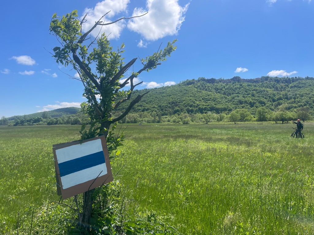
Athletes may cover the 27 sections without time limits and in any order. There are 153 stamping locations to proove the performance.
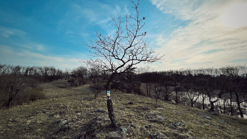
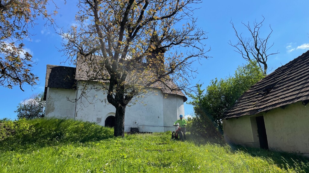
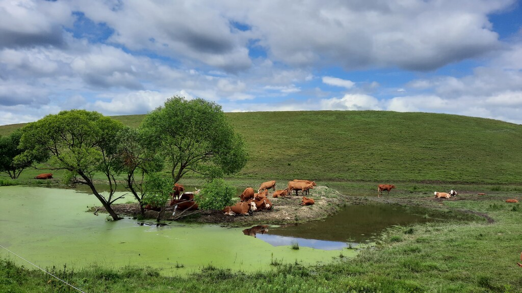
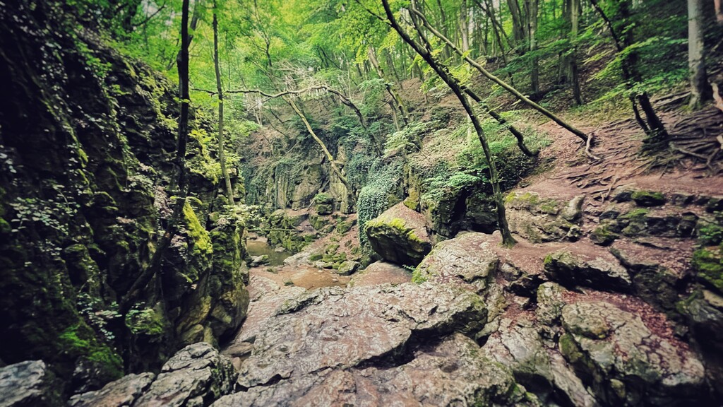
The trail traverses the northern side of the country between Írottkő and Hollóháza via each major mountains, the capital and Balaton too.
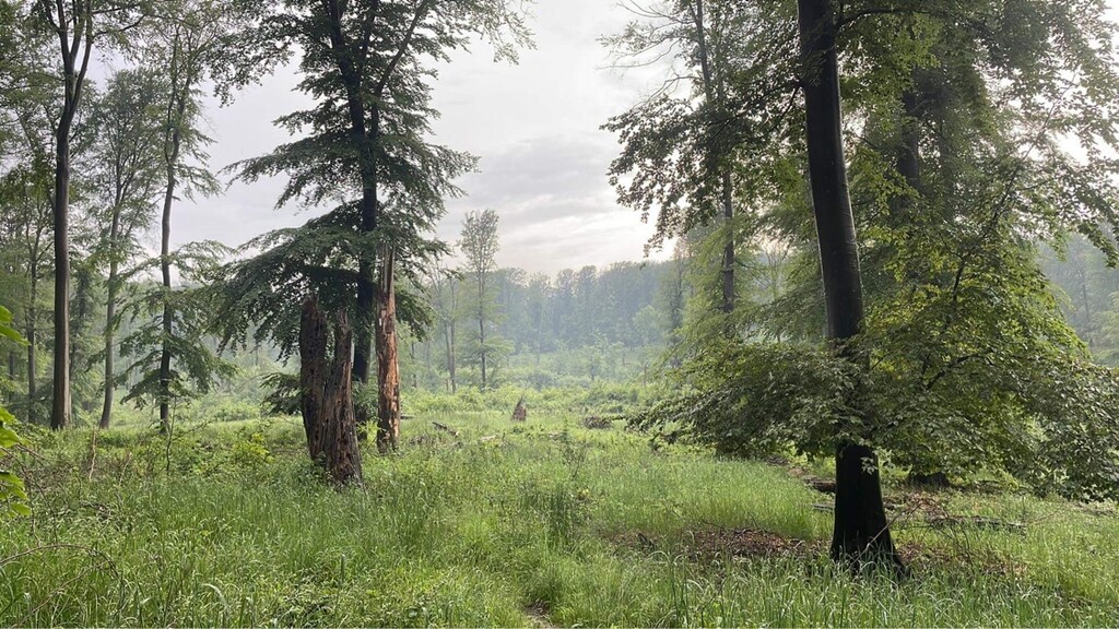
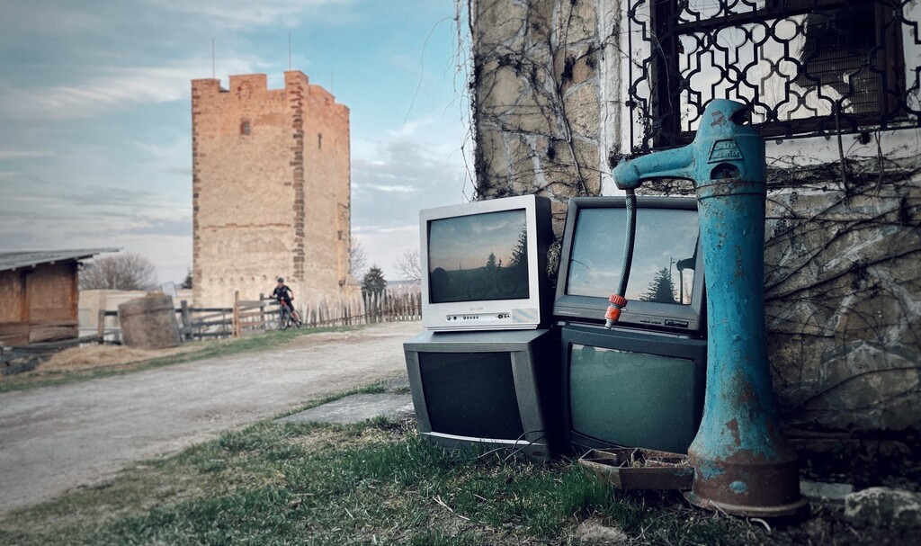
The terrain, the atmosphere, geological and cultural values are so much varied that each section and each day gives unforgettable experiences.
Although the trail can be covered from any direction, the descriptions and numbering follow a west to east order.
In 1930, the Hungarian Hiking Association set the trailheads and the direction of the Blue Trail crossing the whole country. In 1950 some hiking clubs sectioned the trail and started awarding the completion.
So far almost10.000 people completed the Blue Tour / Kéktúra: some of them within weeks, months, other for many decades.
By completing the Blue Trail you will hike through an elevation gain of approx. 31500 meters and an elevation loss of 32000 meters via 152 stamping locations to log your performance. Stamping locations: https://www.termeszetjaro.hu/en/list/stamping-locations-of-the-national-blue-trail/116513017/
All other informations: https://www.kektura.hu/okt-szakaszok