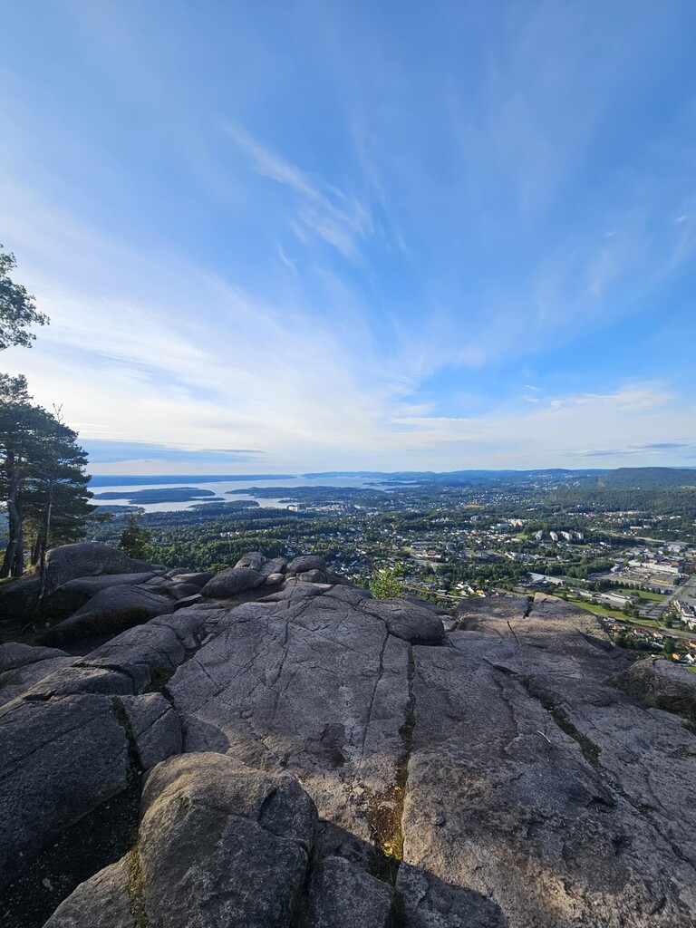
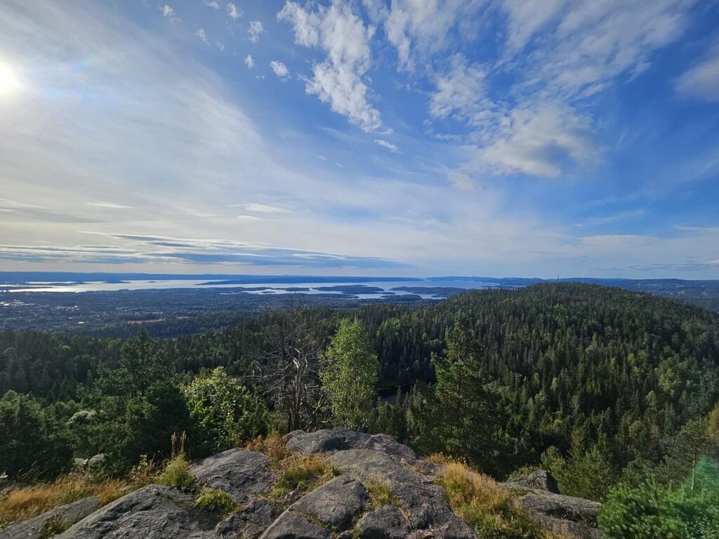
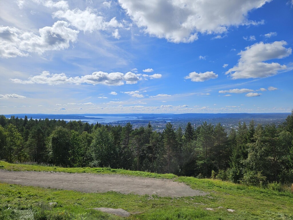
“Over Oslo” route connects the most famous and frequently used viewpoints on the hills surrounding Oslo. That was also the idea behind this route: to create a scenic, runnable route with as much trail running and scenic views as possible, while staying close to Oslo.
Route description:
The route is a A-to-B route, and follows the most commonly used trails in most places, but there is no signpost telling you the way to the finish, so use the GPS/GPX file for navigation.
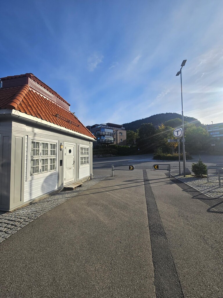
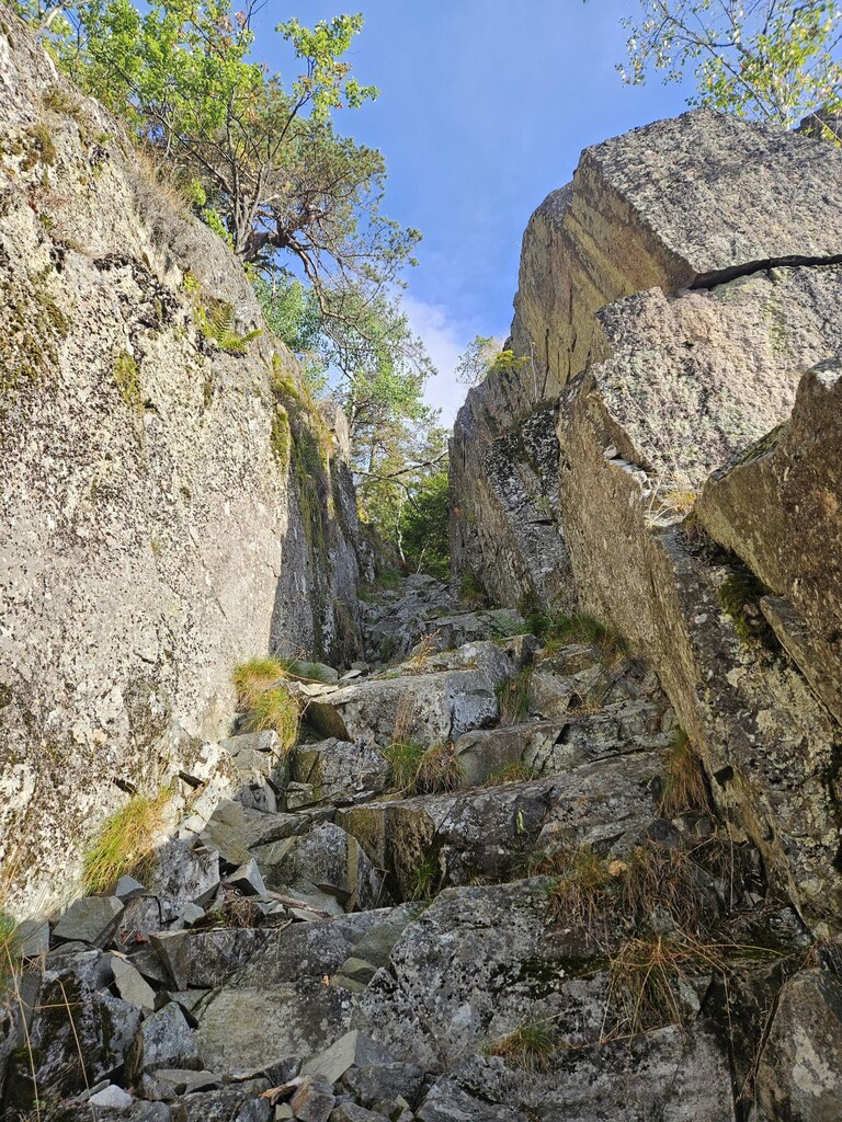
The route starts at Kolsås in the west, a short distance (30 min) outside Oslo, but it is connected to Oslo by the metro (line 3), whose final stop is Kolsås. The most convenient way to the start is to take the metro to Kolsås and get off at the last stop. The route starts there (see photo). From the station, run uphill through a small residential area and follow the trail up to Kolsåstoppen. This is a well-known hiking area, perhaps best known for its many climbing routes. Kolsåstoppen consists of two summits, the southern and northern peaks, and you will cross both. The route includes some steep terrain, trails and dense forest, with great views at several points. The trail to the Northern Kolsås summit goes up a steep ravine that requires some easy scrambling, best done in dry weather, it`s quite steep with some loose rocks. It is not signposted, so pay close attention to the GPS route between the two summits.
Continue downhill on the ski slope to Kolsås Ski Center and then head towards Oslo along Ankerveien. Ankerveien was built in the 1790s specifically to connect west and east, from Bærum to Maridalen, so this is historic ground. As you continue towards Oslo, you can see the next summit you will climb straight ahead: Tryvann. Follow Ankerveien to Bogstad Camping, then run past Bogstad Farm and onwards to the Wyller ski resort. Every year, a race called Oslo’s Bratteste is held here — 2.7 km with 407 metres of elevation gain. This route follows the race course all the way to Tryvann Ski Center.
From Tryvann, run downhill towards Frognerseteren (also one of the best known viewpoints overlooking Oslo), then continue downhill on a gravel road before heading uphill towards Fuglemyrhytta and Vettakollen, which offers views across large parts of Oslo. From Vettakollen, the trail descends steeply before turning left towards Sognsvann and continuing downhill towards Brekke, Frysja and Kjelsås.
Further to follow a trail route towards Grefsenkollen, continue uphill to Langsettløkka on the gravel trail west of Solemskogveien, before crossing the road by Lake Kringla. From here, it is not far to Grefsenkollen. The area is also known for its many excellent running trails, and I have tried to find some of the ones heading in the right direction towards Grefsenkollen. Continue towards Langevann and Trollvann, run up the ski slope and then onwards to Grefsenkollen. At Grefsenkollen there is also a bar/restaurant, so check the opening hours.
If you are lucky, you can finish with food and drinks, and a sunset with the best possible view back towards the starting point on the other side of Oslo. There is something special about standing at the finish after many hours of running and looking back at where you came from.
The route is approximately 36 km long, with a total elevation gain of 1,350 meters. Total descent is approximately 1,050 meters. The route is about 80% gravel/trail, with some fast runnable parts in between.
From here, onward transport is available by nearby bus or taxi, or you can continue running downhill on the beautiful trails from Grefsenkollen.
See you out there!