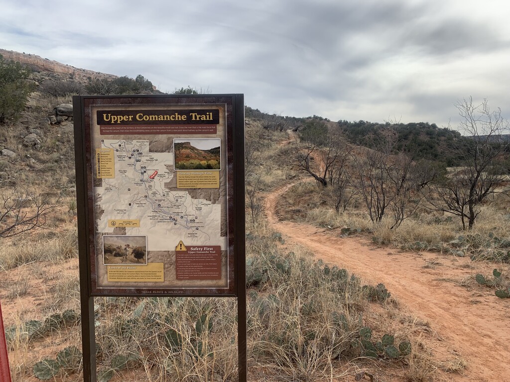
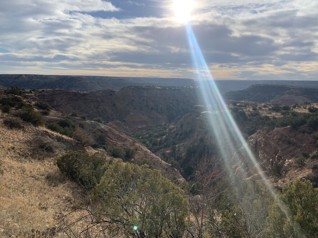
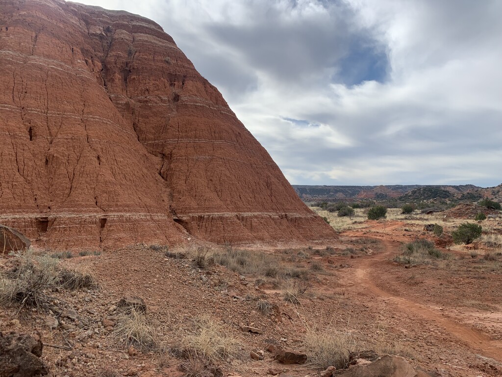
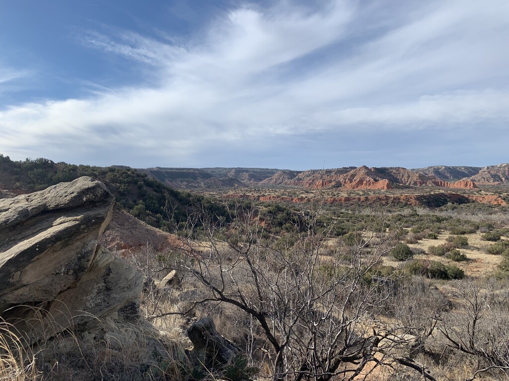
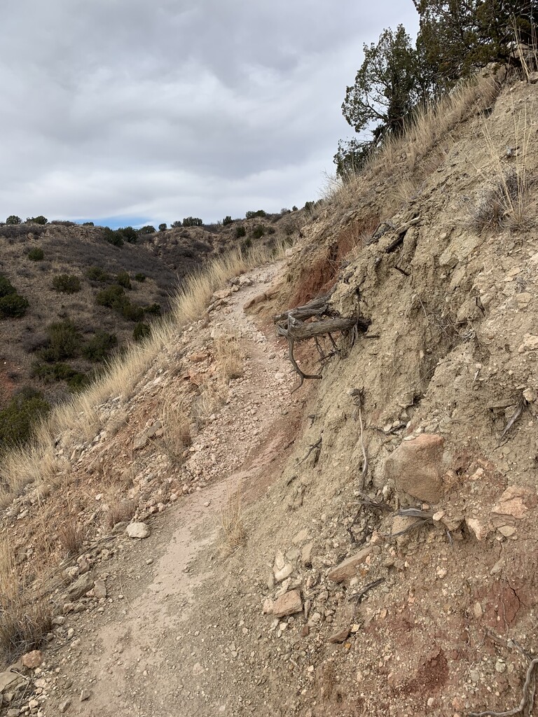
Palo Duro Canyon is the second largest canyon in the United States. It lies in the heart of the Texas Panhandle and spans about 120 miles in length and is up to 20 miles wide and 800 feet deep in places. This rim to rim to rim route takes you through the ruggedly beautiful trails in this iconic State Park. After parking in the Visitor's Center parking lot just past the park entrance on the west side canyon wall, you will drop down the historic CCC trail to the canyon floor (dropping over 500 feet in 1.4 miles). From there you cross through the Pioneer Amphitheater parking lot to the trail head for the Upper Comanche Trail on the opposite side of the road (just past the Mack Dick Group Pavillion). On Upper Commanche you run through the heart of the canyon, crossing the river and running past stunning red rock and sandstone formations. After 3.3 miles, you turn onto the Lower Comanche Trail (signs well marked to the left) and continue another 2.16 miles along through rugged cliffs, shady Rocky Mountain Juniper, and small spring-fed streams. When you reach the intersection of Lower Comanche Trail and Rock Garden, you will continue on Rock Garden to climb up the east side canyon wall. Rock Garden will take you 1.4 miles in a largely upward direction (approximately 400-500 feet with some descents, turning to a steady, at times switch-backed, climb in the last half mile) to a spectacular overlook from the canyon rim. Be sure to take in the view before turning back down the Rock Garden trail and heading back the way you came: Rock Garden to Lower Commanche to Upper Commanche to CCC and back out. The canyon can be a good 10-20 degrees warmer than the nearby cities of Amarillo or Canyon, so be sure to plan for temperatures. Summer temps can easily be over 110. There are some water stations at restrooms throughout the park, but these are typically turned off from October - March, and none are directly accessible from this route without a detour. It is best to plan for hydration accordingly. Trails are accessible to hikers, runners, and bikers, but are typically not as heavily trafficked as other trails in the park. Rock Garden and CCC can have more traffic than Upper or Lower Commache. Palo Duro Canyon State Park — Texas Parks & Wildlife Department

Comments
Attempting women’s FKT at PD 3/21/26 unsupported. If temps get too high, may change to supported!