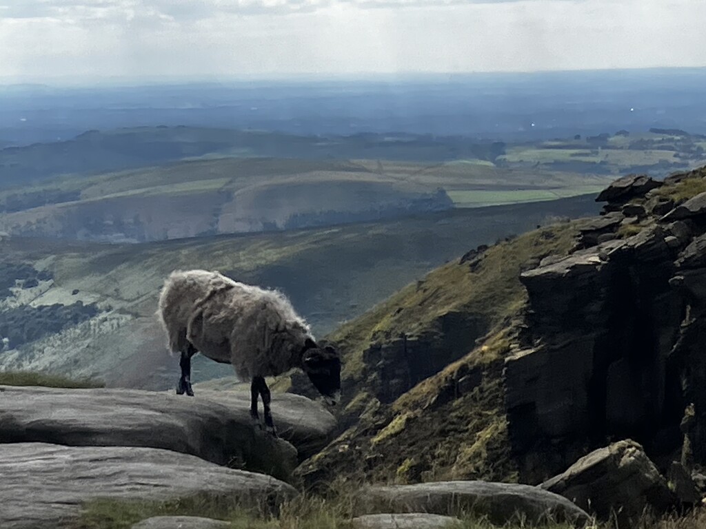
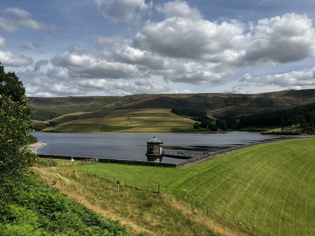
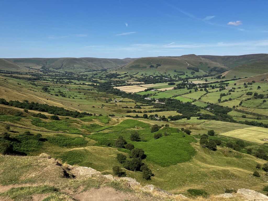
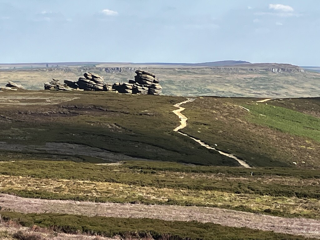
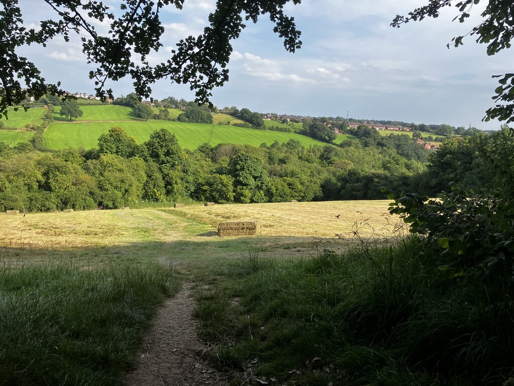
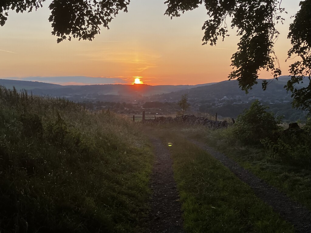
The Peak Way is a new long-distance footpath, devised by Ken Reece and launched in 2022, partly to commemorate the 70th anniversary of the Peak District National Park in the UK. There is a dedicated website at https://www.peakwaywalk.com. The Peak Way is roughly 158 miles long, with 23,700 ft of ascent. Reece wanted to create ‘a walking route that would offer some of the most spectacular views and showcase some of the most interesting heritage/points of interest in the stunning 555 square miles of the Peak District, whilst also providing places to stay at the end of each day.’ Starting and finishing in the town of Stockport, the route takes in the highlights of the Dark Peak area, whose rugged landscape of moors and rock formations is built on gritstone, and the limestone-based White Peak district, with its rolling green hills and lush riverside paths. The Peak Way passes through natural landmarks such as the Kinder Downfall waterfall, Kinder Scout, the Mam Tor ridge, inland cliffs including the famous Stanage Edge, Froggatt Edge and Curbar Edge, reservoirs such as Ladybower, Derwent, Carsington water and Fernilee, and exquisite rivers including the Derwent, Dove and Wye. It also takes in person-made highlights, such as the spa towns of Buxton and Matlock, famous cycling trails (which were once tracks for mining railways) including the Tissington Trail and Monsal Trail, the stately homes of Chatsworth and Lyme Hall, key sites of the area’s mining heritage (such as Magpie Mine, the last working lead mine in Derbyshire), and some of Britain’s most beautiful rural villages, including Hartington and Baslow. It is a fantastically varied and rewarding route, which deserves to become a classic.