Route: Peatlands Way (UK)

Submitted by Amie LK on Sun, 07/05/2026 - 06:12pm
Location
United Kingdom
Distance
46.3 mi
Vertical Gain
162 m
Description

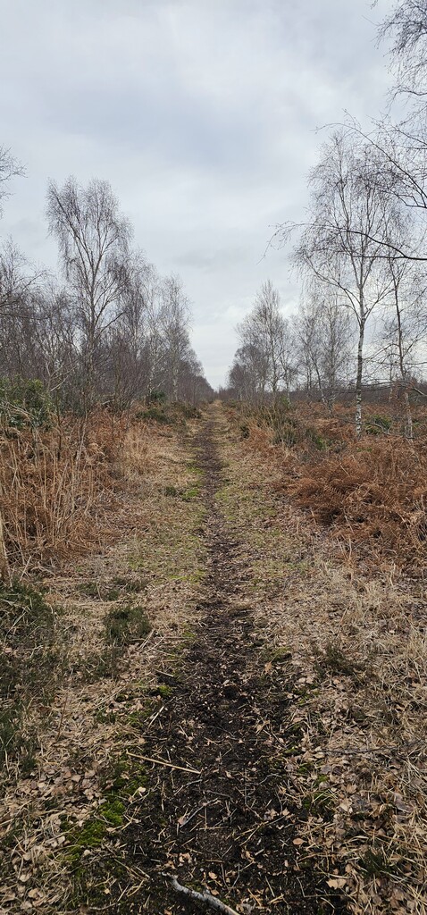
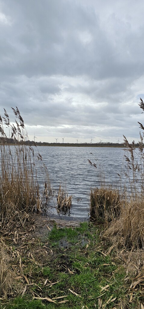
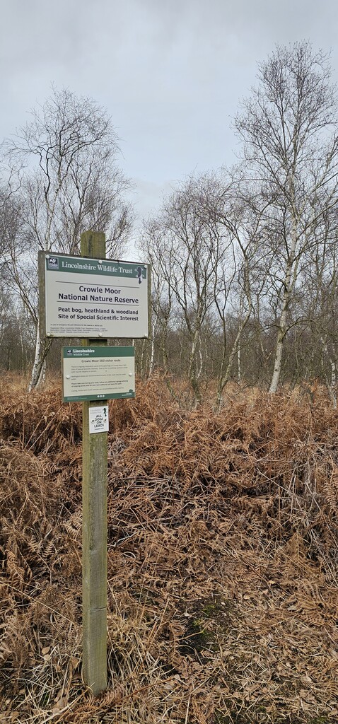
The Peatlands Way is a route designed to link the communities of the Humberhead Peatlands. This area covers the largest expanse of lowland peat bog in Britain, and is part of a current UNESCO Biosphere designation application.

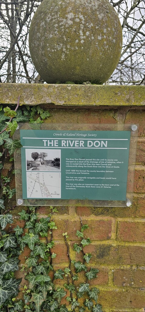
The route includes the first permissive paths across the famous Thorne and Hatfield Moors, wildlife sites of national and European importance, as well as taking in the historic landscape and cultural changes through South Yorkshire and the Isle of Axholme.

It connects directly with the Trans Pennine Trail at Bramwith and Sykehouse on the New Junction Canal and also with Crowle Regeneration Way, Fishlake Heritage Trail, The Isle of Axholme Greenway, Thorne Round Walk and many other routes.

Official original and new routes here: https://www.thepeatlandsway.com/route.html

GPS Track
Images