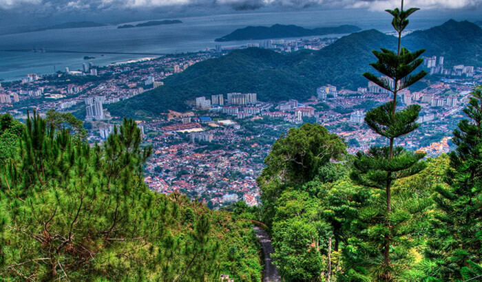
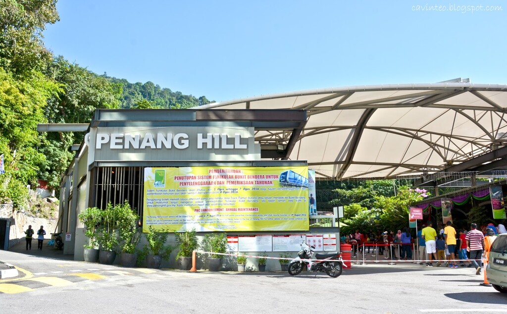
Penang Hill is the highest point on the island of Penang and offers spectacular views of George Town, the eastern coast of the island and the mainland across the channel.Originally established by the British as a colonial hill station during the time of their rule in Penang, it allowed them to escape and retreat up to the cooler climes away from the chaos, heat and humidity of George Town.The Hill was first opened up in 1788 by the creation of a horse trail up from the Waterfall Gardens (the present day Botanical Gardens). The way up was by the "doolie" system, where the colonial masters were carried up on special sedan chairs.
Penang Hill itself actually comprises of several hills including Strawberry Hill, Fern Hill, Halliburton Hill, Flagstaff Hill, Government Hill, Tiger Hill,and Western Hill. The highest point of this range is at Western Hill, with an elevation of 833m (2,723ft )above sea level. Flagstaff Hill, the most developed of the hills, has also become the malay name for Penang Hill i.e. Bukit Bendera.
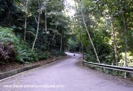
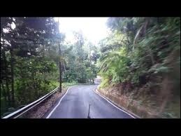
The only other way to get up the hill (other than hiking) is the "jeep track" that runs 5.1km from the Botanical Gardens up to the top. It is actually a tarred road, however it is only open to residents of the Hill. The "jeep track" itself is popular amongst hikers as a way up or down the Hill.
Using the Jeep Track is 10.17km up & down via tarred road, the EG for the total distance is 768m.
Enjoy the view from the top of Penang and have fun always!