The name "Perhentian" means "stopping point" in Malay, referring to the islands' traditional role as a waypoint for traders between Bangkok and Malaysia. The islands were sparsely inhabited by fishermen for centuries, although tourism now accounts for most economic activity.
The Perhentian Islands appear on many maps of the nineteenth and twentieth century as 'The Station Islands'. This arises from the British colonial period, as an English translation of "stopping point".
Pulau Perhentian was one of the islands where Vietnamese refugees or boat people landed during the 1970s.
The Perhentian Islands are islands in Besut District, Terengganu, Malaysia. The two main islands are Perhentian Big Island and Perhentian small Island.
Perhentian Kecil, off the northeastern coast of Malaysia, is one of the most popular backpacker islands in Southeast Asia. Smaller and slightly rowdier of the two Perhentian Islands, Kecil is a place to come for excellent diving, sunbathing, and socializing with other budget travelers.
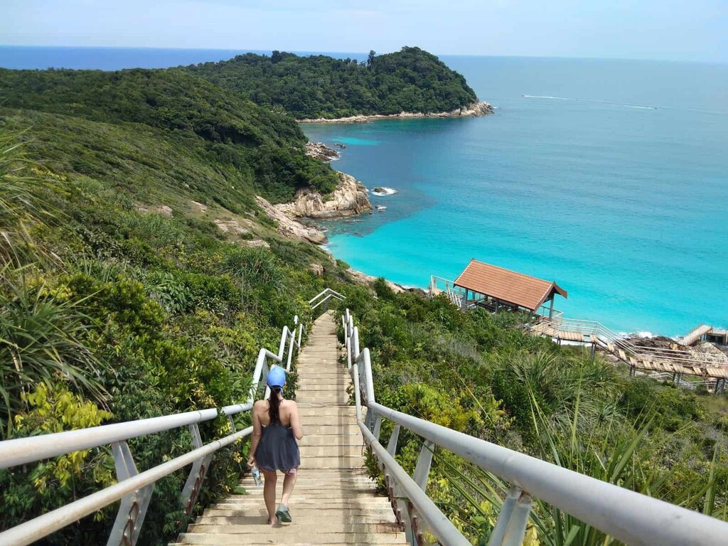
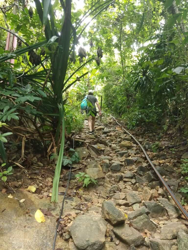
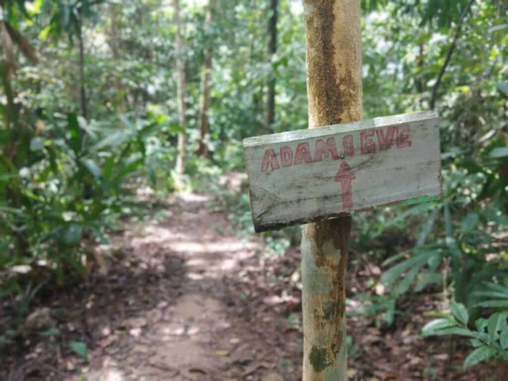
Staring the Round Island journey from the Long Beach, passing the Telur Aur, rainforest Beach, Kajenji Beach, Petani Beach and go back to the Long Beach to finish the Island Circumnavigation.
Total Distance is 8.02km with EG 348m, 80% Route covered by Trail and 20% is paved road.