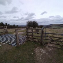
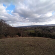
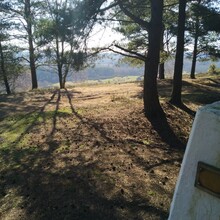
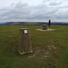
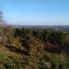
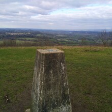
The Petersfield Round is a roughly circular ~68km course around the picturesque market town of Petersfield in East Hampshire. The round is in the style of the Bob Graham in the Lake District and takes in 18 of the high points around the town and some of the best views in this part of the South Downs national park. This is an open course challenge, competitors can take any route they wish as long as they start and finish at Queen Elizabeth Country Park (QECP) and “summit” each of the peaks listed below. The majority of the peaks can be linked using beautiful trails rather than roads. The route also intersects with several local trails including the South Downs Way, the Serpent Trail, the Sussex Border Path, the Staunton Way, the Hangers Way and the Shipwrights Way. This challenge was created by members of Liss Runners.
The way points are:
- Start/Finish at the visitors centre at QECP: 50.961410, -0.978224
- 1, War Down (243): 50.973721, -0.966924
- 2, Holt Down (204): 50.962808, -0.965426
- 3, Windmill Hill (193): 50.939616, -0.981800
- 4, Head Down (205): 50.967029, -0.953955
- 5, West Harting Down (216): 50.962723, -0.916011
- 6, Tower Hill (210): 50.958616, -0.882765
- 7, Harting Hill (219): 50.958781, -0.870465
- 8, Round Down (217): 50.959146, -0.863358
- 9, Beacon Hill (242): 50.959040, -0.851898
- 10, Pen Hill (215): 50.957974, -0.845278
- 11, Wiseland Hill (152): 51.022739, -0.846819
- 12, Combe Hill (162): 51.026320, -0.868020
- 13, Coldharbour Hill (153): 51.041841, -0.840268
- 14, Weavers Down (155): 51.068514, -0.841776
- 15, Wheatham Hill (244): 51.039457, -0.940866
- 16, Stoner Hill (235): 51.026852, -0.964357
- 17, Cold Hill (189): 51.014870, -0.985550
- 18, Butser Hill (270): 50.977848, -0.980300
Runner notes:
- The actual high points at Tower Hill, Wiseland Hill, Combe Hill, Stoner Hill and Cold Hill are not on publicly accessible land. The route attached and the GPS coordinates of the high points listed above are for the nearest accessible high points from public rights of way and in all cases are within a few meters of the actual elevation of the high point.
- Weavers Down and the path from there to Liss Forest is through MOD managed access land. This is usually open to the public but is occasionally closed due to military training exercises. These are well publicised so please check the ranges are open before attempting this challenge.

