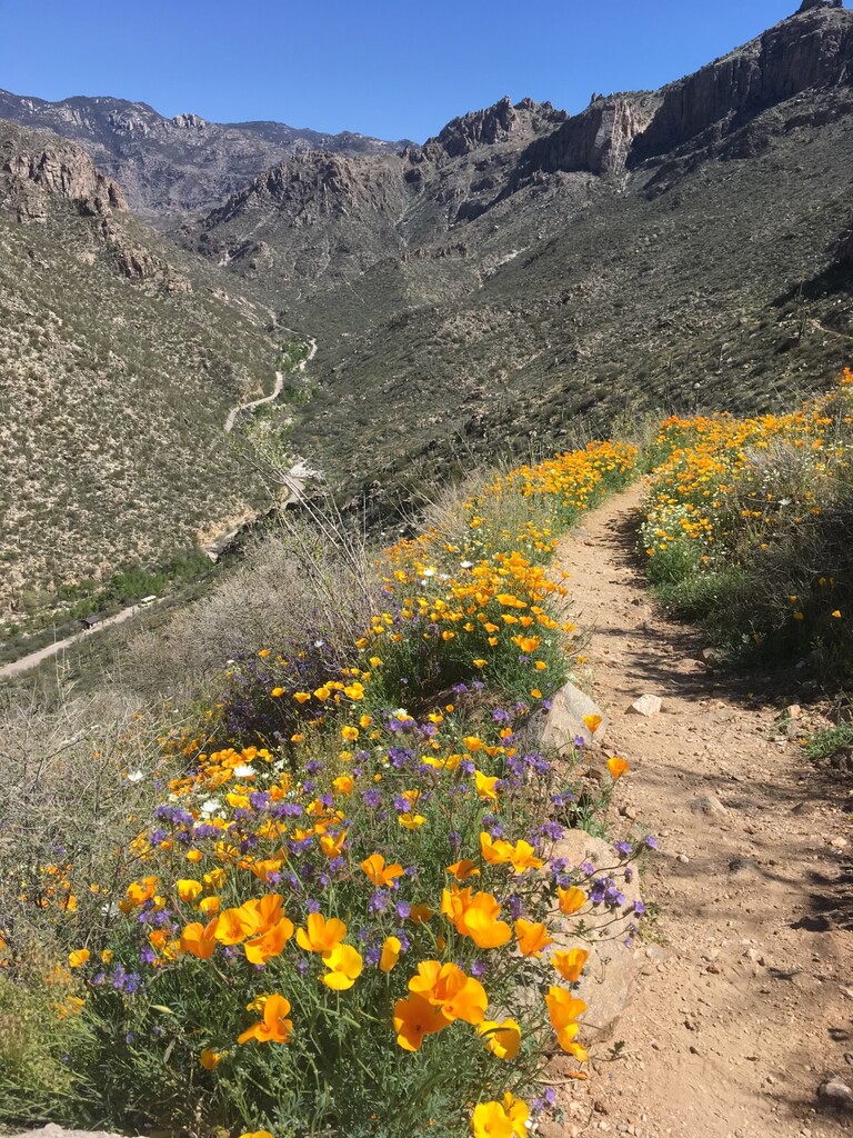
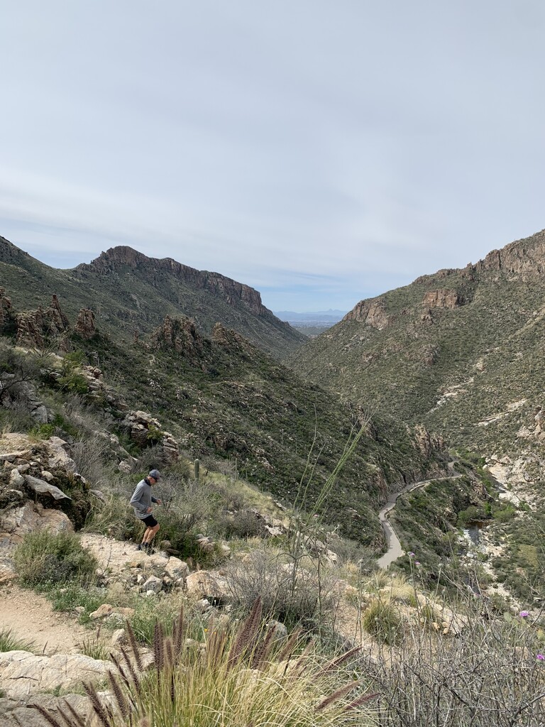
This classic Sonoran Desert loop has been a staple of Southern Arizona running for longer than anyone can remember. It is located in Sabino Canyon, a national monument in the Santa Catalina Mountains. Easily accessible from the northwest side of Tucson, Phoneline Trail takes in a flat desert trail riding among towering saguaros, then ascending a ridge above Sabino Creek hitting a canyon-notch where you then descend switchbacks through the paved Sabino Canyon road, riding a continual descent down the 3.7 mile smoothly paved road.
Starting at the Bear Canyon Trailhead east of the Visitor Center and just north of the main parking lot, you ride a buffed-out trail for about .4 miles. Connecting the buffed trail you hit a turnoff road from the main Sabino Canyon Tram Road, you follow this paved road for another .4 miles passing a bathroom stop, and eventually crossing Sabino Creek, you hit Phoneline Trail, #27. The trail ascends sharply into the Canyon riding the east ridge of the canyon, you hit the Blacketts Trail split at 1.4 miles, which is well marked with both Phoneline trail and Blacketts. From there you continue straight with Blacketts on your right heading east and Phoneline continuing North stair stepping gradually following the uppermost trail hugging the east ridge. Eventually, you bear to the left at the top of Sabino Canyon (only one trail). At the junction with the Bear Canyon Trail coming from above you sharply descend on the lowest-most trail to the Sabino Canyon road, viewed from above. At the top of Sabino Canyon Road, you will immediately start descending with the steepest of the 3.7 mile road being the first. Continuing through all the bus stops on the right and left side of the Sabino Canyon Road you will hit a left-handed curve on the road climbing to a road dip below the final hill. Cresting the hill you head down and flat as you see the Visitor Center approaching on your left, you finish at the roundabout at the end of the road. A 9.06-mile loop with 1,155 feet of climbing.
Tyler Ford a Tucson Local published a video of this famous Tucson Running Trail. https://www.youtube.com/watch?v=rmxtMHeAfHU