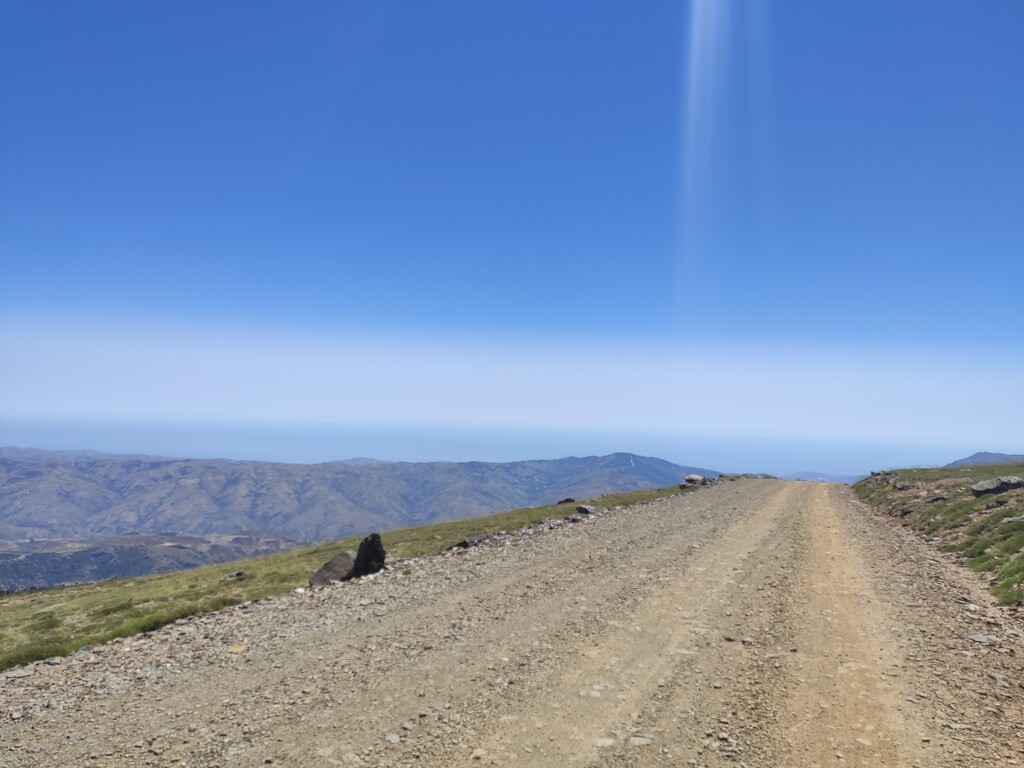
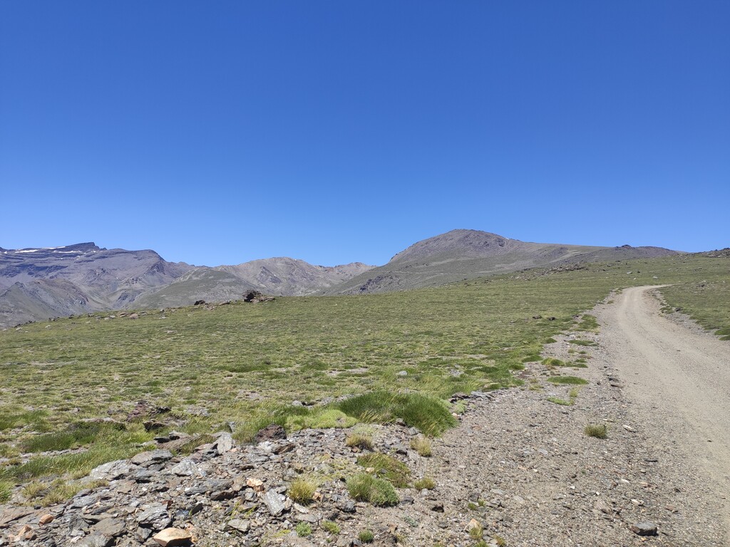
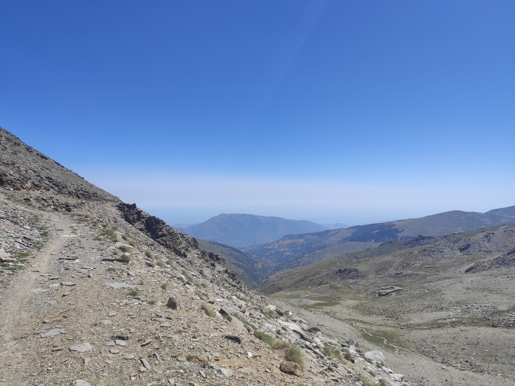
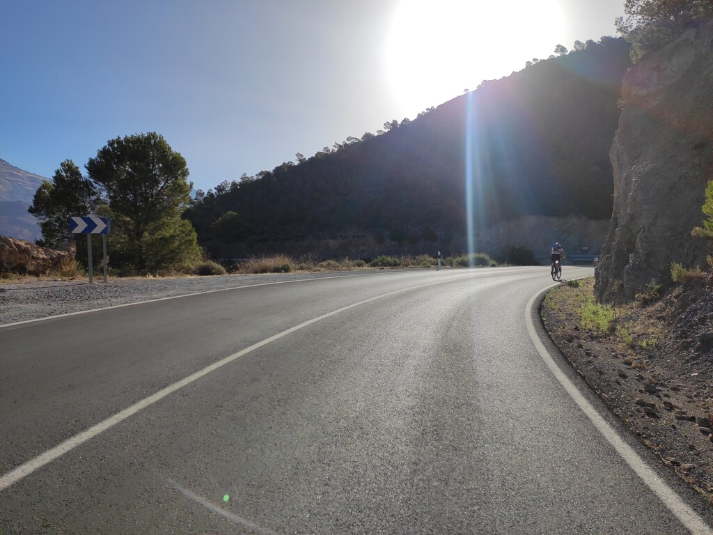
Route: Pico Mulhacén (Spain)

Submitted by PatrickFoster on Tue, 12/28/2021 - 05:10am
Location
Granada, ES
Distance
160 km
Vertical Gain
4,000 m
Description

From the Sea to the highest peak of the Iberian Peninsula and back. Start and finish at Playa Poniente. The first 55km are paved then the route becomes a gravel road until 1km from the summit which has to be hiked.

The route can be a free route as long as you start and end at the sea then reach the summit.

Make sure to get water at Capileira as from there on there isn't much available apart from a lake near the summit (slight detour)

GPS Track
Images