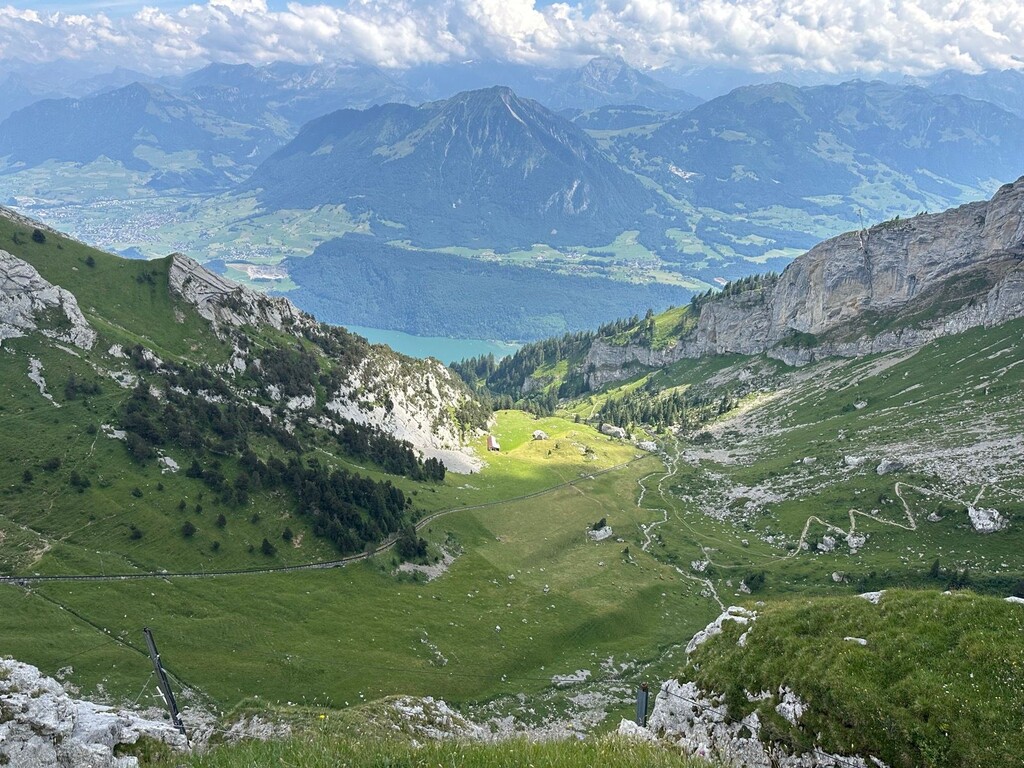
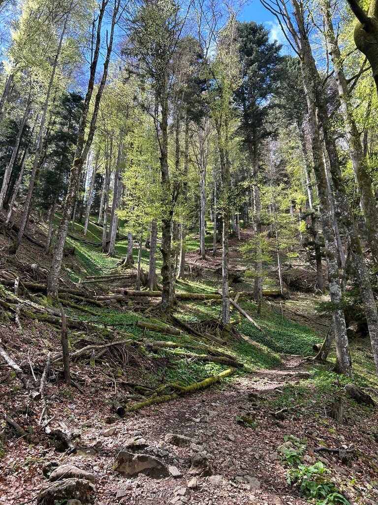
This route is a 15.56 km round trip from Alpnachstad to Pilatus Kulm and back, following the marked mountain hiking trail.
The route starts in Alpnachstad, near the Pilatus railway station, and climbs continuously towards Pilatus Kulm (2,100 m), gaining approximately 1,650–1,700 m of elevation over the ascent.
From Pilatus Kulm, the route returns to Alpnachstad on foot via the same trail, finishing at the original starting point.
Start/Finish: Alpnachstad, near the Pilatus railway station
Turnaround: Pilatus Kulm
Distance: 15.56 km round trip
Elevation gain: approximately 1,650–1,700 m
Route type: Out-and-back
Surface: Mountain hiking trail, forest path and rocky alpine terrain
The entire route must be completed on foot, without using the cogwheel railway or any other form of mechanical assistance.