Location
Newfoundland and Labrador,
CA
Distance
57.7 km
Vertical Gain
972 m
Description
GPS Track
Pioneer Foothpath Full.gpx499.16 KB
FKTs
Male
Mixed-gender team
| Mathieu Doyon | 8h 39m 36s |
| Shaun MacLean, Jessica Dahn | 8h 50m 18s |
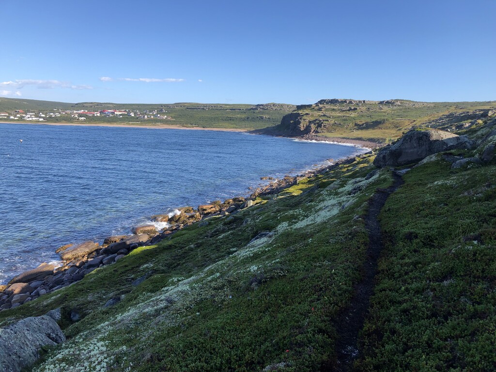
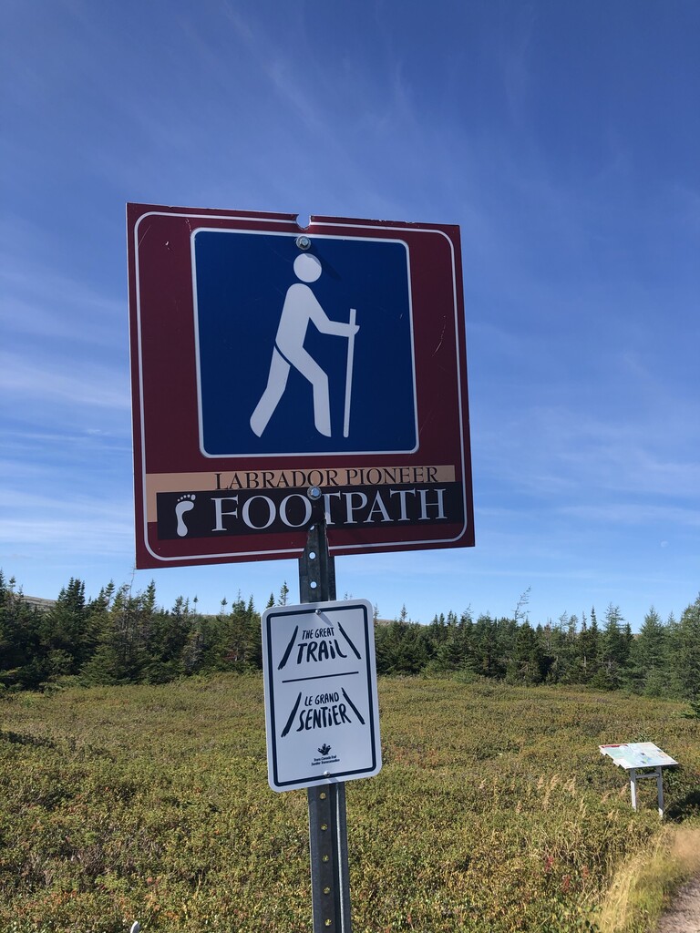
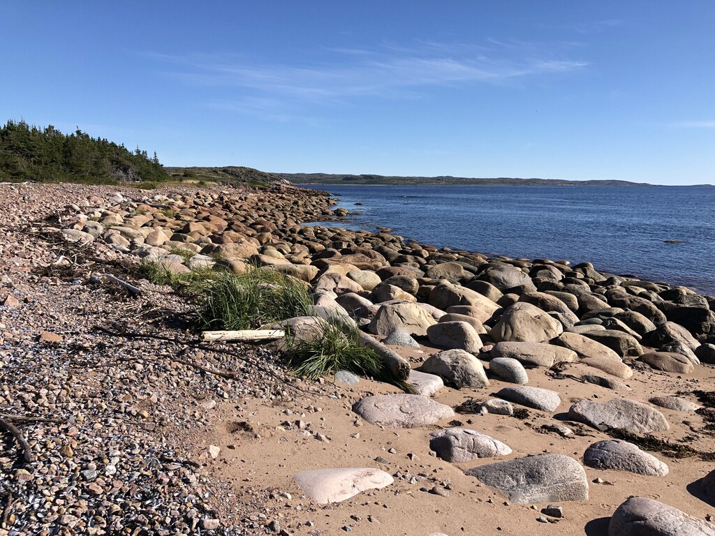
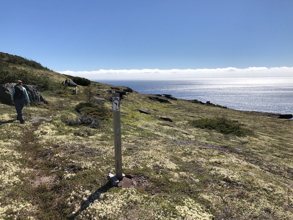
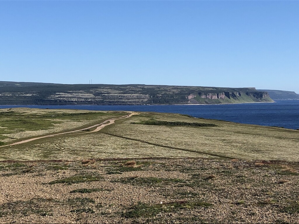
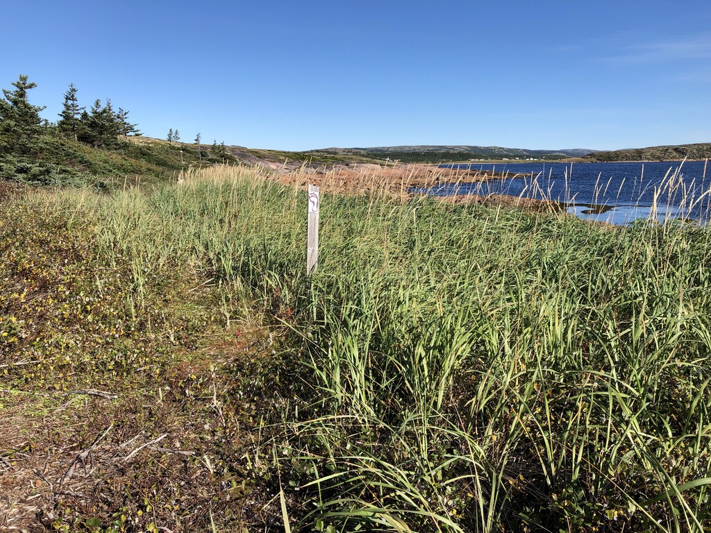
Images