This route combines two of the most distinctive features of the French Atlantic coast into a single logical challenge: a historic century-old sea crossing and the Passage du Gois — one of the only tidal causeways in Europe traversable on foot.
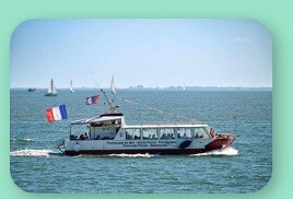
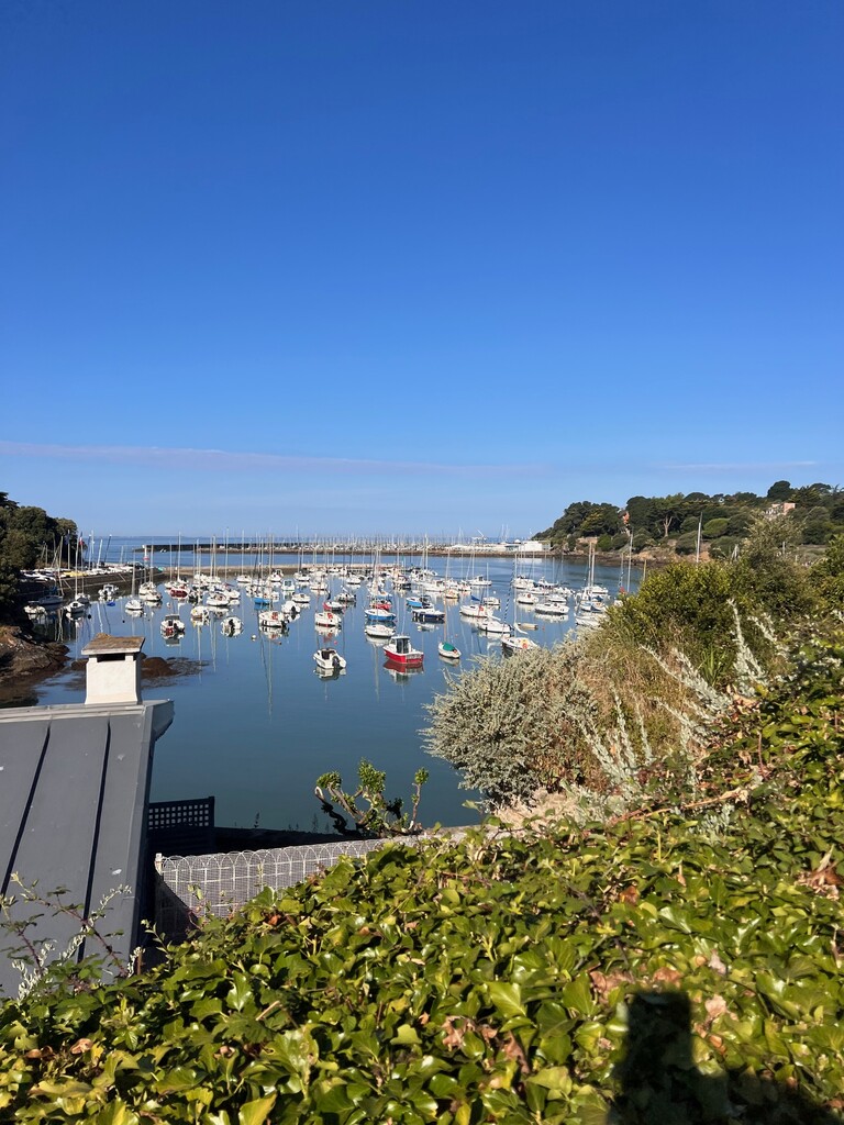
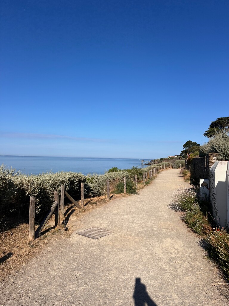
The clock starts when the ferry Évasion casts off from Pornic's Noëveillard marina. Athletes cross the bay by sea (~15 km, ~1 hour) to L'Herbaudière harbour on Noirmoutier Island, then run 65 km back to Pornic via the Passage du Gois, the Vendée coastline, and the historic Sentier des Douaniers (Customs Officers' Path), finishing at the foot of Pornic's medieval château.
THE TIDAL CONSTRAINT
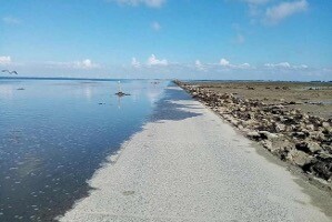
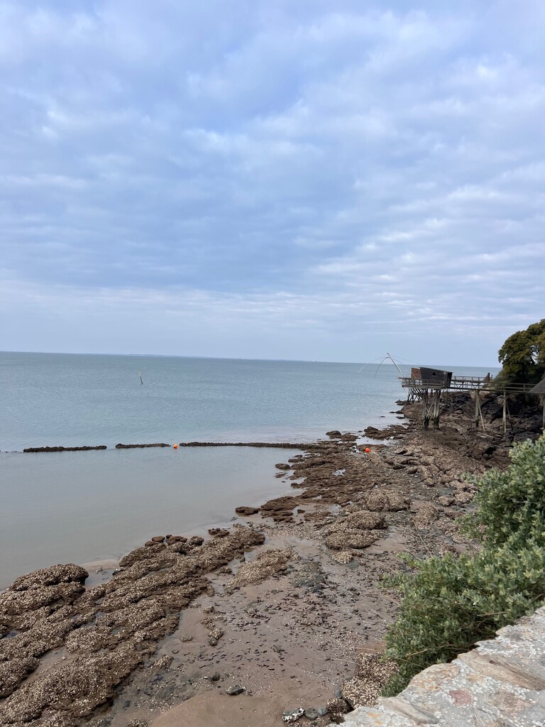
The Passage du Gois (km 16.5 of the running section) is a 4.5 km natural cobblestone causeway submerged by the Atlantic tide for approximately 18–20 hours every day. Crossing outside the tidal window is impossible and dangerous. Athletes must plan their entire effort around the official tide tables (SHOM, L'Herbaudière). This constraint — unique — makes every attempt a genuine planning puzzle: no two attempts share the same tidal conditions.
Tidal windows by coefficient:
- Coef. < 50: cross at exact low water only
- Coef. 50–70: window of ±1 hour around low water
- Coef. > 70: window of ±1h30 around low water
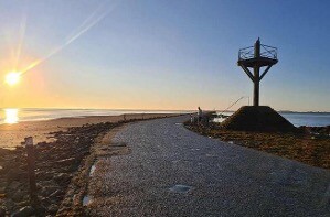
The Gois is classified as a site of national heritage interest (site d'intérêt national et patrimonial) and marked by historic refuge poles — wooden towers providing emergency refuge if caught by the tide.
THE HISTORIC CROSSING
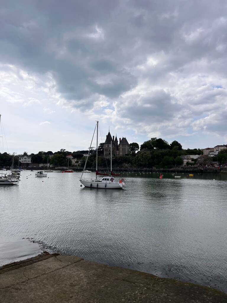
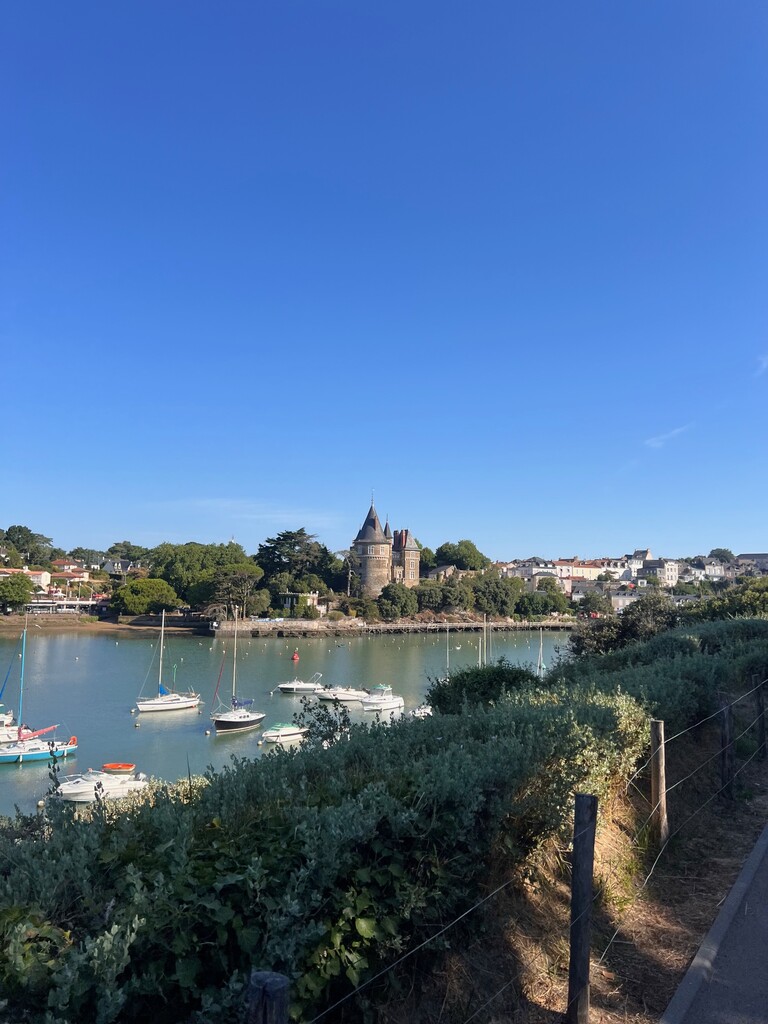
The Pornic–Noirmoutier sea crossing has existed for over a century. Paris mainline departures once carried the destination board "Paris–Noirmoutier" — the train stopped at Pornic, where passengers boarded a steam ship to Noirmoutier's Plage des Dames. Generations remember the vessels Jacques Cassard and La Pimpante (until 2008). Today the crossing is made aboard the Évasion (~1 hour each way). This FKT route departs from the same harbour that has sent travellers to Noirmoutier for generations, and returns on foot to the foot of the same medieval château visible from the sea.
THE ROUTE
Start:
Port de la Noëveillard marina, Pornic (47.1149°N, 2.1019°W) -clock starts at ferry cast-off Sea crossing: ~15 km by ferry Évasion (~1 hour, included in elapsed time) Running section (65 km, +115 m):
- L'Herbaudière harbour, Noirmoutier → start of running (km 0)
- South through Noirmoutier Island via coastal paths and salt marshes
- Passage du Gois (km 16.5–21): 4.5 km tidal causeway
- Beauvoir-sur-Mer → Bourgneuf-en-Retz (km 21–40): north along Vendée/Loire-Atlantique marshland coast
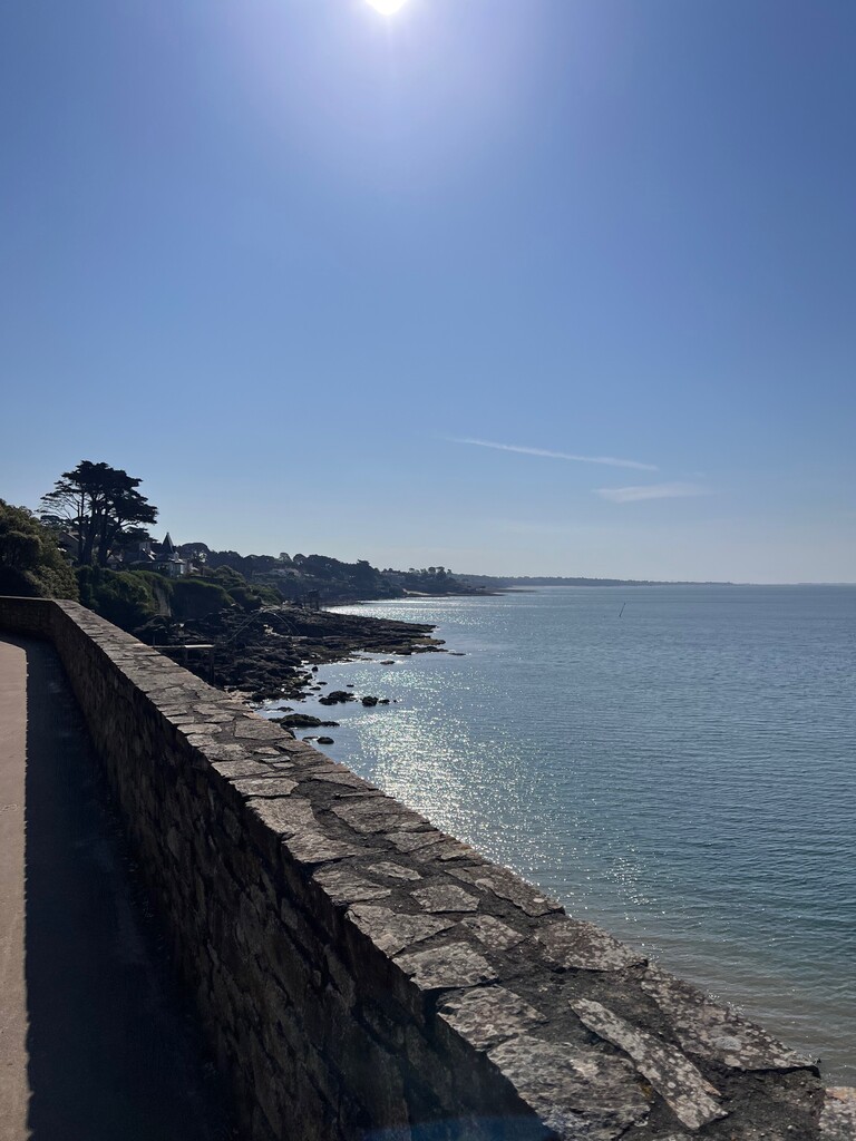
- Sentier des Douaniers (km 40–65): historic clifftop coastal path
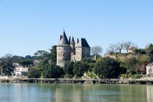
Finish: Foot of the Château de Pornic (47.1119°N, 2.1054°W) - same landmark that welcomed sea travellers for over a century.
Total distance: ~80 km (ferry + running)
Running distance: 65 km
Elevation gain: +115 m (essentially flat coastal route)
LOGISTICS
- Ferry: seasonal (approx. May–September), standard departure 09:30.
- Free shuttle buses run every hour in both towns.
- Self-supported: resupply available at Noirmoutier-en-l'Île (~km 8), Beauvoir-sur-Mer (~km 21), Bourgneuf-en-Retz (~km 38).
TIMING RECOMMENDATION
- With the 09:30 ferry and running at 6'30"–7'00"/km, the Gois is reached between 14:15 and 14:35.
- Target low water: ~13:15–14:00 with coefficient ≥ 70.
WHY THIS ROUTE
1. A truly unique tidal constraint. The Passage du Gois is one of very few tidal crossings in Europe traversable on foot. Its submersion cycle makes every attempt a unique planning challenge unlike anything else in the FKT world.
2. National heritage significance. The Gois is classified as a site of national heritage interest. It has been the primary land link between Noirmoutier Island and the mainland for centuries.
3. Over a century of history. The sea crossing between Pornic and Noirmoutier predates living memory — steam ships, legendary vessels, and now the Évasion. Running back from the island completes a round trip travellers have made for generations, now as a timed challenge.
4. A logical, beautiful line. Old port to old port. Sea to shore. Island to castle. The start and finish are the same landmarks that defined this journey for over a century.
5. Fully objective and repeatable. Precise GPX, publicly documented tidal constraint (official SHOM tide tables), unambiguous landmarks. Any athlete anywhere in the world can plan and attempt it.
Note on the ferry: the motorized crossing is not a logistical shortcut — it is the historical and conceptual foundation of the route. Noirmoutier Island has no road connection to Pornic; the sea crossing recreates a century-old tradition and places the athlete in a position where the only return is on foot via the tidal Passage du Gois. The ferry is integral, not incidental.