The PocaFork route is the most direct trail route that connects the Cranberry Mountain Nature Center (near Cranberry Glades, Kennison Mountain, and the Highland Scenic Highway) and the Monongahela National Forest's Gauley Ranger District Station, just outside of the town of Richwood, WV. This trail passes through the drainage areas of the Greenbrier, Cranberry, South Fork of Cherry, and North Fork of Cherry Rivers and travels along the southern boundary of the Monongahela National Forest, generally paralleling WV State Route 39 that connects the two endpoints.
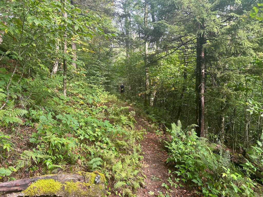
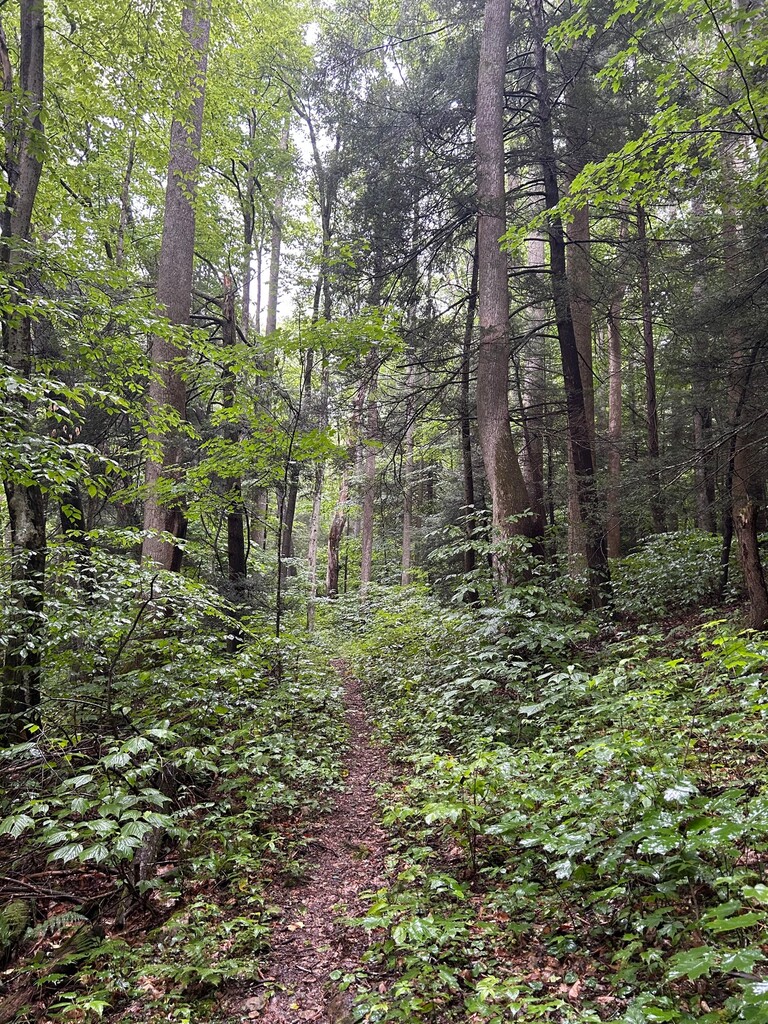
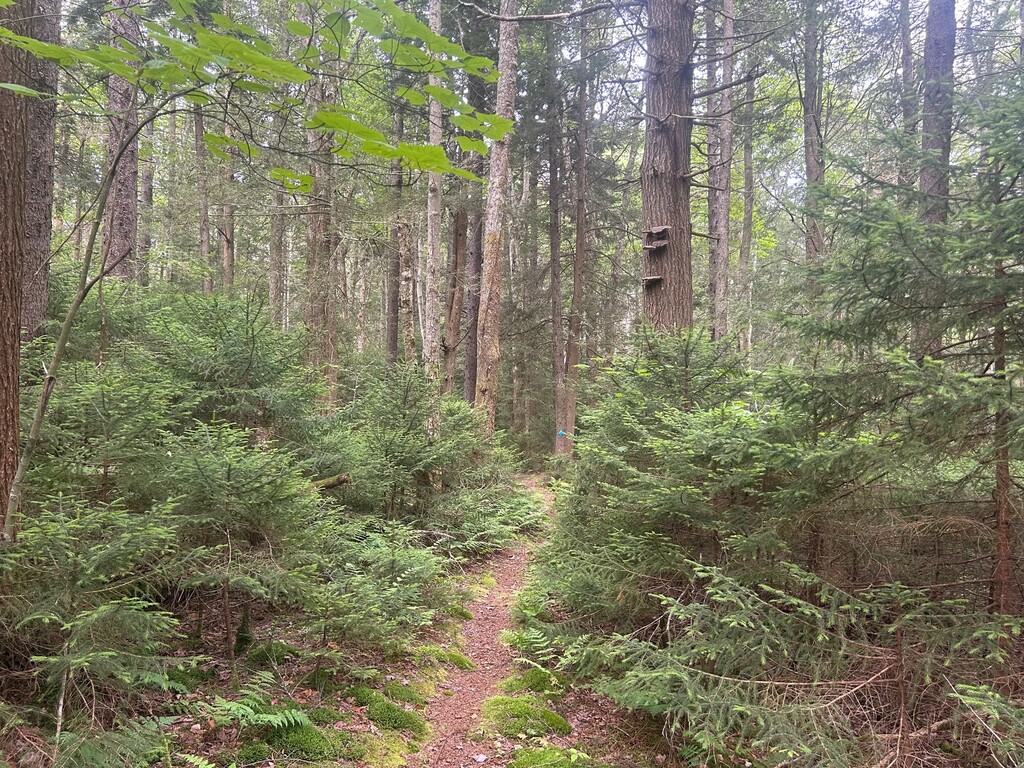
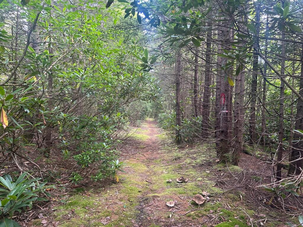
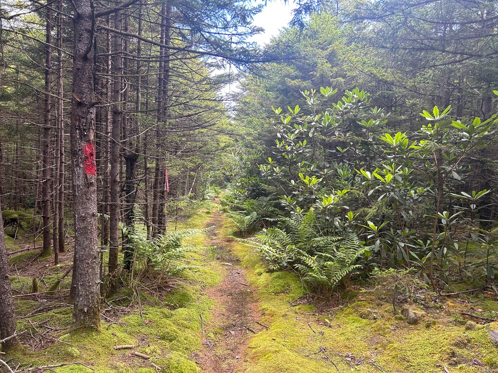
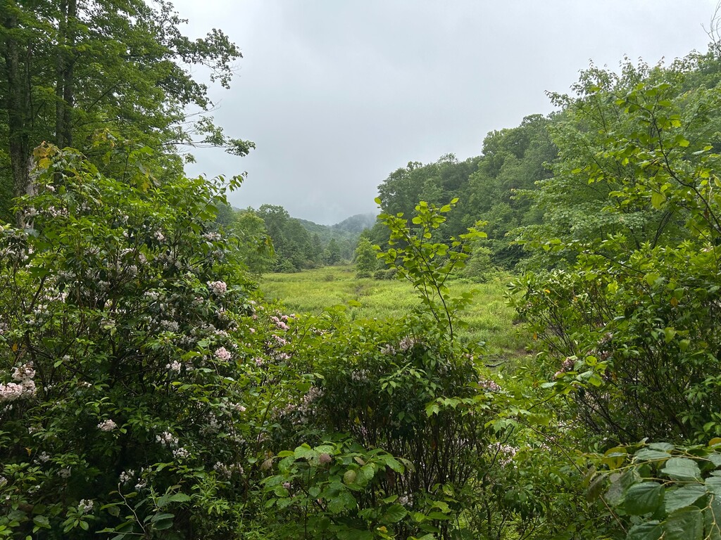
The route is locally named from the use of the Monongahela National Forest's Pocahontas Trail No. 263, and Fork Mountain Trail No. 236 and includes large sections of rugged, technical ridge sections of single track trail through mature hardwood forests and rhododendron/laurel patches, a creek crossing (Hills Creek), and a substantial climb out of Hills Creek to the top of Fork Mountain at Bear Run Rd. These trails have long been sparsely used and neglected until a recently growing interest in expanding backcountry/remote trail systems for mountain bikers, runners, and hikers in the area has taken over.
Being so, very little information exists online about these trails even though they are part of the MNF's official trail system. There are a number of bail-out/access points that connect to Rt. 39 on this route that include Bruffey Reserve Trail No. 280, Pocahontas Trail No. 236, Kennison Mountain Trail No. 244, Falls of Hills Creek Trail, Bear Run Rd, Big Run Trail No. 527, North Bend Trail No. 225, and Forest Service Rd No. 946.
https://www.hikingproject.com/trail/7032724/fork-mountain-trail
https://www.hikingproject.com/trail/7036274/pocahontas-trail-263
https://www.fs.usda.gov/recarea/mnf/recarea/?recid=6983
https://www.fs.usda.gov/recarea/mnf/recarea/?recid=7049