Location
West Virginia,
US
Distance
7.73 mi
Vertical Gain
689 ft
Description
GPS Track
export (6)_0.gpx80 KB
Images
Comments
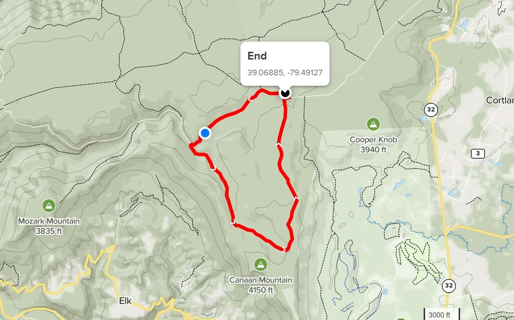
The End point with the image was not the starting point of the loop, but simply shown for reference with the lat-long coordinates. The point shown in the image is the east trail point at Canaan Loop Road. We started and finished the loop at the west trail point.
I think I will give this a go on April 1st.
KentRuns
Completed on 4/1/21
Notes: The spring thaw is underway along with periods of heavy rain.
The water levels are high and fast moving. Even the bogs are deep and cold
WV still gets snow in April and the trail was completely snow covered with laurel branches heavy with snow
Tucker county has tons of top notch trails but remember there is little to mostly no cell service!!
Hey All,
I will be attempting this loop tomorrow Friday 12-3-21. Details to follow.
Donnie Orr
Official finish time 1:14:49
That terrain was relentless. Beast coast at its best! I was so happy to get on Canaan Loop Road and open up. Great work out there everybody now somebody come take my mark!