Poitiers Ville-Nature 102K follows the official long version of the Circuit Ville-Nature, a 102 km marked community loop around Poitiers. Created as part of the Ville-Nature walking network in the mid-2000s, the route links the twelve communes of the former Poitiers agglomeration and is marked as loop 1 on local trail signs.
The loop was designed to connect the natural and architectural heritage surrounding Poitiers, using many of the smaller Ville-Nature walking circuits. It passes through or near places such as Chasseneuil-du-Poitou, Montamisé, Poitiers, Mignaloux-Beauvoir, Saint-Benoît, Ligugé, Croutelle, Fontaine-le-Comte, Béruges, Vouneuil-sous-Biard, Biard, and Migné-Auxances.
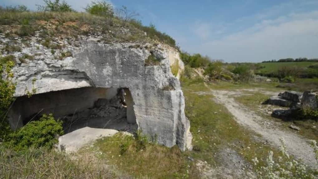
Along the way, the route highlights a wide range of local landscapes and landmarks, including the falaises de Beauvoir, the bourg de Saint-Benoît, the abbaye de Fontaine-le-Comte, the Lourdines quarries near Migné-Auxances, the Boivre valley near Biard, the Forêt de Moulière near Montamisé, the viaduct of Saint-Benoît, and the abbey of Pin in Béruges.
Although close to the city, this is a substantial endurance route: the official guide describes it as a sportive 102 km loop, usually completed in 2 to 3 days on foot or 8 to 10 hours by mountain bike. For runners, it offers a natural FKT objective around Poitiers: a complete circumnavigation of the former agglomeration via an established, marked public route.