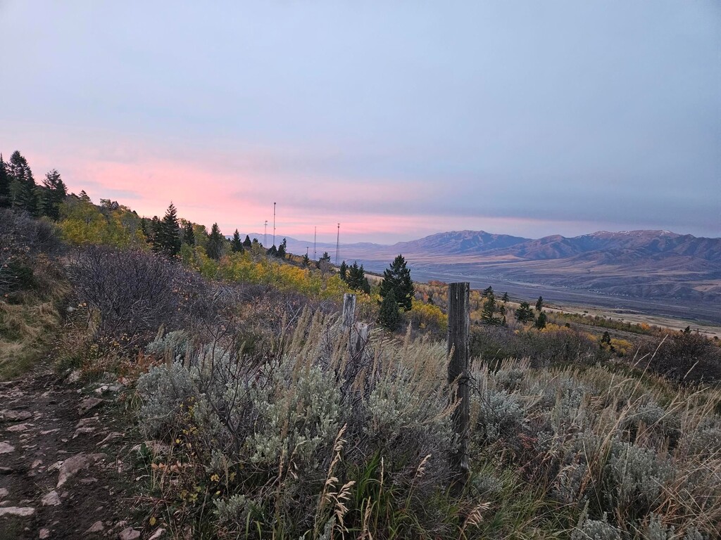
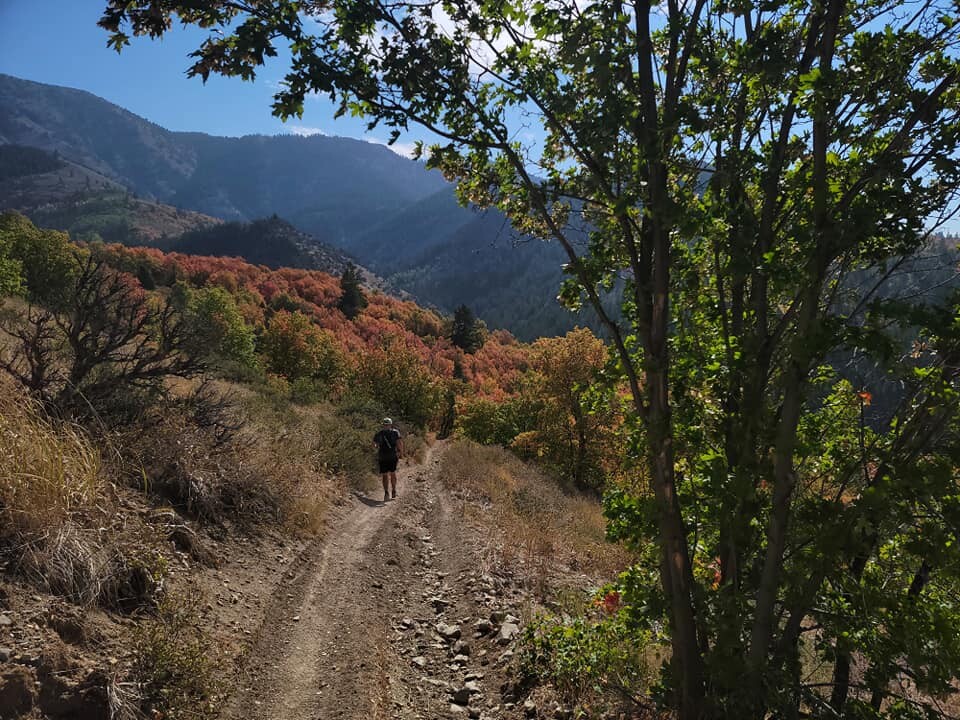
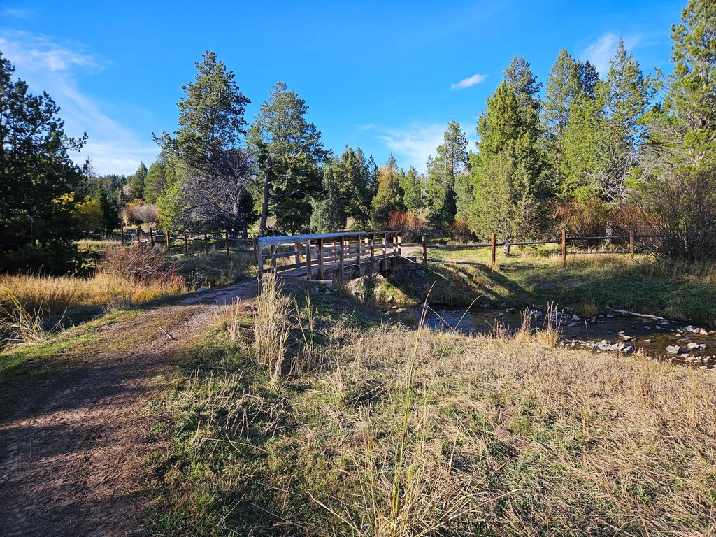
The Boundary Trail from Pebble Creek Ski Area is a 36-mile loop trail that hovers between 5500 and 7200 feet of elevation. A two-track trail that hugs the National Forest boundary, it affords fantastic views of the Portneuf River valley from multiple directions. The trail is often rough, with loose, fist-sized rocks, with many ascents and descents into creeks that drain Bonneville, Snow, and Haystack Peaks. It is best run in fall, when the colors of the aspens and dwarf maples are at their most vibrant.
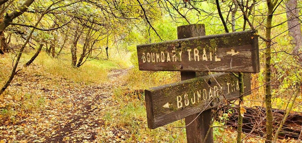
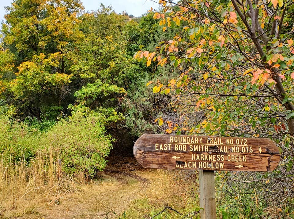
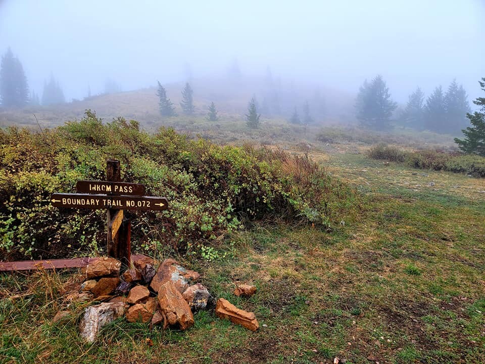
Access is limited to the Pebble Creek road, Harkness Canyon, Sunnyside Road above Lava Hot Springs (four-wheel drive only), and Big Springs Campground on the east. Water is available especially on the west side, with limited water on the south and lower east parts. The biggest climbs are from Harkness Canyon, Bob Smith Creek, the upper Portneuf, and Inkom Pass. The trail is motorized, so runners are likely to encounter a limited number of ATVs and dirt bikes, especially on weekends and during hunting season.
This route was run in a counter-clockwise direction; it may also be run clockwise, which gets the hardest climb out of the way first.
https://www.summitpost.org/portneuf-range/353359
https://www.hikingproject.com/trail/7103203/boundary-trail-272
https://www.onxmaps.com/offroad/trails/us/idaho/boundary-trail