Ironlegs 100km: Prairie Mountain Version. A classic tour of Kananaskis Country, AB.
This route combines some of the most popular local mountain trails along with remote areas seldom accessed.
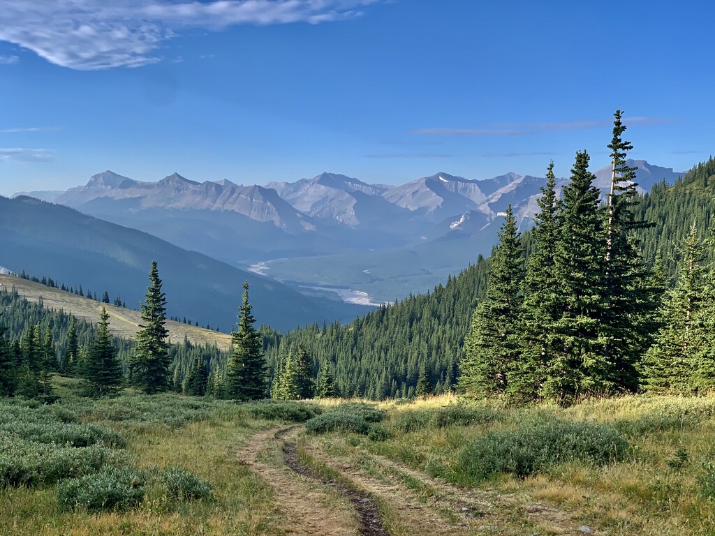
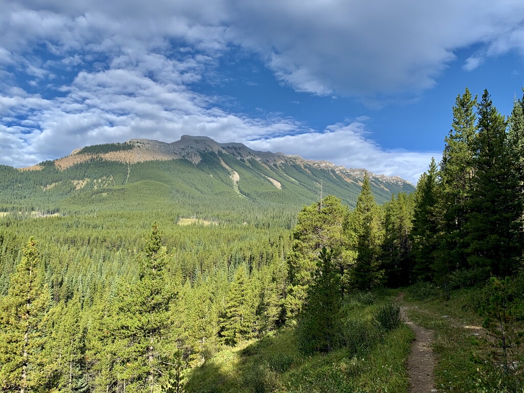
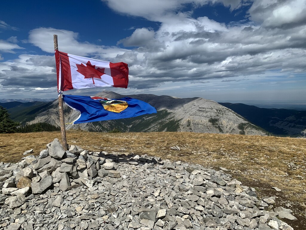
You will travel well known trails such as Powderface Ridge, Prairie Mountain, Moose Mountain, RidgeBack, Ranger Summit and Fullerton (all available on AllTrails.com). Incredible views of the amazing Kananaskis Quad (Banded Peak, Outlaw, Cornwall and Glasgow Mountains), Elbow River Valley, Nihahi Ridge and Moose Mountain make this a fantastic trip.
Start and Finish: Station Flats staging area on Hwy 66.
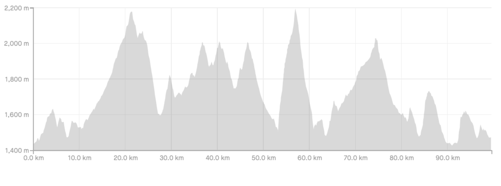
Distance: 100km
Elevation Gain: 4,500m
Trail conditions: Lots of Singletrack, some fireroad. Mix of smooth and rocky technical terrain. Several big climbs.
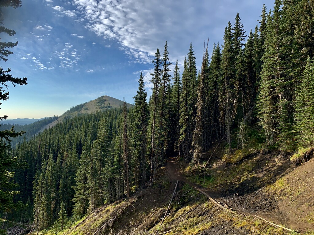
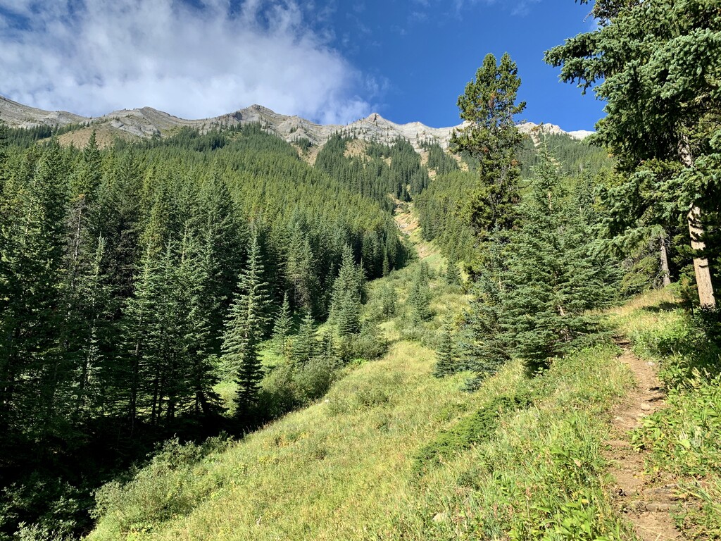
Route: Head out Elbow Valley Trail (single track) as it climbs and dips, crosses Moose Mountain and Ing's Mine roads to reach Powderface parking lot (km11). Follow Powderface Trail (rocky fireroad which climbs and transitions to single track) up to 3-trail junction and head Left up to the ridge for amazing views of the mountains. Descend singletrack (sometimes steep and rocky) from Powderface to the jnctn of Hwy 66 and the gravel Powderface Road (km27). Go up the gravel road <100metres to a faint trail on the Left that crosses Ford Creek and climb up to Ford Knoll Trail (Right turn). Climb the wide winding track, then descend to the junction with Ford Creek Trail and go Right (km30.5). Follow Ford Creek as it wanders toward Nihahi Ridge where you will find some big climbs up and down drainage chutes. At a signed junction (km 42) go Right, which sends you back toward the gravel road (km44). Cross the road and start the climb back up to 3-trail jnctn (Powderface) and head back down Powderface trail past the parking lot (km52). Find the unmarked but obvious start to Prairie Mountain and enjoy a stiff grunt (700m gain in 3.5km) to the summit flags! Turn around and head back down. When you reach the bottom, head back along Elbow Trail, crossing Ing's Mine Road and heading up the switchbacks. At the jnctn with Sulphur Springs Trail (km 64) head up more switchbacks and follow until crossing Moose Mountain Rd (just a little higher than earlier in the day). Shortly after, turn Left on Pneuma Trail (km66) to start a long but gradual climb up Moose Mountain. Pay attention to stay on the main trail (Pneuma) and not get off track on one of the downhill bike trails. Pneuma climbs to a high point (km75) with amazing views of the Moose summit, then plunges down a tricky rocky section for ~500m to reach a major trail jnctn. Take a Right onto Packers, cruise for a few km and then start the switchback descent. Break out into a meadow and watch for the sign showing the start of RidgeBack4 (Right). Swoop along the singletrack to the jnctn of Tom Snow (turn Right) and follow until the start of RidgeBack3 (split to the Left). Travel gradually up to the jnctn with Snakes'n'Ladders (Left, km 81). SnL singletrack swoops down to a creek (bridge crossing), then climbs up to Ranger Ridge (km 85). Go through the jnctn climbing slightly for about 1km along Ranger until the jnctn with Bobcat (Right). Descend ~2km to a short connector to Fullerton (Left) and take a 2nd quick Left at the main trail jnctn. At 90km, turn Right to cross a bridge and travel 1km to the Allan Bill staging area. Turn back around, follow your footsteps back along Fullerton until the staircase heading up West branch and take the steep grunt up with beautiful views of the Elbow Valley. Continue on the wide trail to connect back up with the Bobcat connector (km94), but this time turn Left and head down the singletrack for 2.5km to the jnctn with Tom Snow. Turn Left, cross a bridge and quickly turn Right onto RidgeBack2, another nice swooping singletrack. Follow until RidgeBack1, which joins with Tom Snow (wide forrest road) to take you back to the finish at Station Flats.
Water Access: Reliable water source is found at the beginning of Powderface Trail, the beginning and end of Ford Knoll/Creek, midway through SnL and Allan Bill staging. During spring run off, there are many more streams. NOTE: This part of Kananaskis is a Free Range Cattle Grazing area. Bring a filter!!
Wild Life: Be aware that it is not unusual to run into moose, bears and the occasional cougar in Kananaskis Country, particularly in the more remote/less travelled sections of this route (Ford Creek)
Cellphones: Much of this route does NOT have reception. The "best" reception is on the top of Powderface, Prairie and Pneuma. Everything else is sketchy.