Course Features:
Name: Paths of Montemuro
ARC code PR1
Typology Circular
Distance 19Km Approximate
duration 6: 00h to 7: 00h
Floor type Rural and mountain paths
High degree of difficulty
Place of departure Senhora do Monte, Alvarenga
Arrival Place Senhora do Monte, Alvarenga
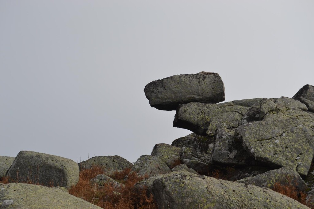
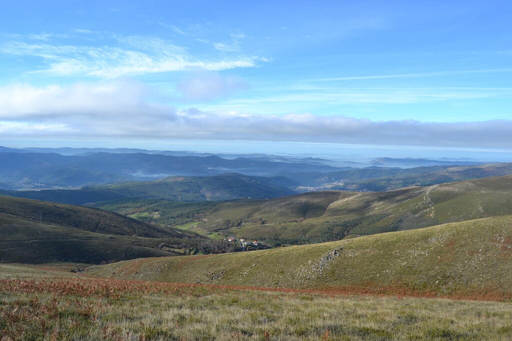
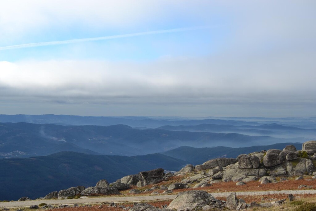
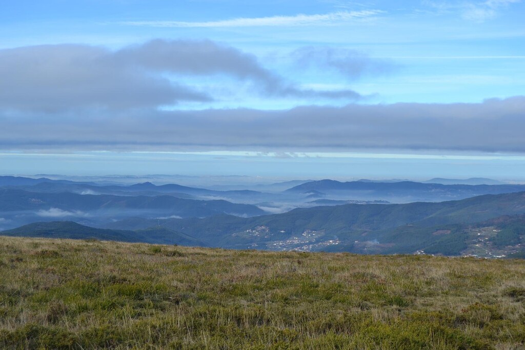
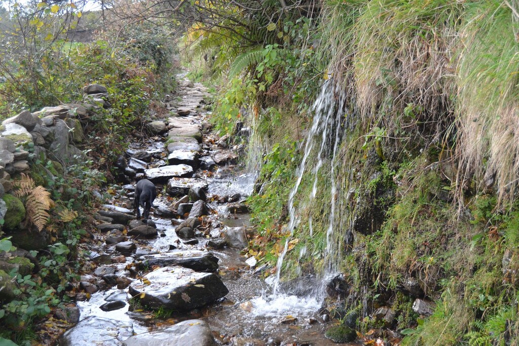
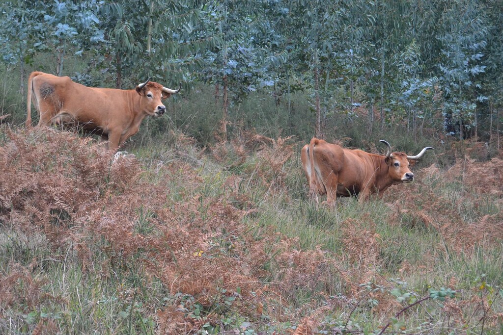
Description and Reasons of Interest The route leaves the Sra. Do Monte Sanctuary through a forest path that begins in the square in front of the gate, going through the level curve, that is to say, it does not go up or down .... After 1 kilometer, you will find yourself in a portela (Fojo) where there are five paths. Here you can choose: either on the left, through Bustelo, to the north, or go straight on, to the Northeast. This is the recommended option. Then, it goes straight ahead by a ridge. The path is marked with yellow and red marks. Just follow them. A little further on, you can see an antenna that is to the right of the path. From here you can already see a great panorama, both on Bustelo and on the valley on the left side and on the right side. Continuing, the route follows a traditional and ancient path, halfway up the valley of Ribeiro de Bustelo, with Noninha in the background, with its schist roofs, surrounded by courelas in green terraces. Soon after, you reach a road made for the construction of the wind farm. It follows to the left. Upon reaching a fork, continue along the road on the right. Immediately before, a menhir can be observed on the right. Continuing the march, you quickly reach a road paved with parallels, which leads to the chapel of S. Pedro do Campo. Reaching that road, and going downwards, for about 150 meters, we find, on the left, a source of fresh water, to refill the canteen and to refresh the walker. Rest in S. Pedro, as the journey here has been 7 kilometers. After recovering strength, the walker goes to the Geodesic Landmark of Pedra Posta, also referred to as Pedra Alçada. This is the highest point in the municipality of Arouca and one of the highest points of this corner of the Serra do Montemuro (1222m). You arrive here by a road that leaves S. Pedro until a portela followed by a path to the left in the direction of an antenna that appears on the left side. Once another fork is found, take the trail on the right. Just follow the marks. Finally, Pedra Posta is reached. From here you can see the valley of Nespereira to the west, Serra do Marão to the north, Serra da Freita to the southwest, Serra da Arada to the south, etc. The view that is reached from here is lost in the mists of the horizon. We have then covered 10 kilometers. The descent is, initially, by a well-defined path and then by trails of shepherds, in any way well marked. Once a path is reached in the ridge, towards the Southwest, it continues on to Noninha, which appears, now on the left side, at the bottom of the valley. After crossing Ribeiro do Bustelo, you enter the village. When you reach the paved road, about 30 meters away, take a sidewalk that descends smoothly on the right. It was the old Path that connected Noninha to Bustelo, now only used to access the fields. You continue through it, you cross the Ribeiro de Bustelo again, crossing again, right afterwards, by a solid and recent concrete pier. A brief stop at the local cafe is recommended for a cold drink or a snack (up to 16 kilometers have been covered up to now). Continuing the journey, just follow the old path that passes near the chapel of Bustelo (covered in shale) goes to Sra. Do Monte. Reaching Fojo - where it has been previously - then turn right to the sanctuary.