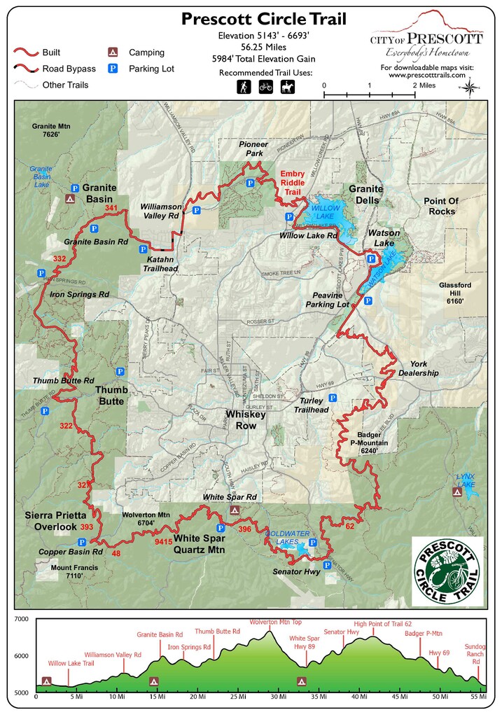
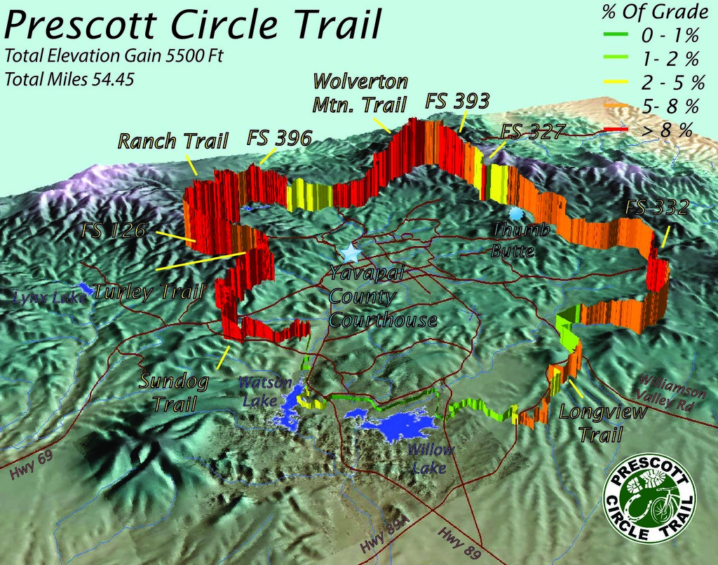
Route: Prescott Circle Trail

Submitted by fleuron.95 on Sat, 08/01/2026 - 12:03pm
Location
Arizona, US
Distance
56.4 mi
Vertical Gain
6,500 ft
Description

The Prescott Circle Trail is a network of our best non-motorized trails that combine to make a 56 mile loop around Prescott . The PCT is jointly managed by the City of Prescott (25 miles) and Prescott National Forest (31 miles). The trail comes as close as three miles to downtown Prescott and is easily accessible with 15 trailheads along its length. A lap of the PCT has about 6500 feet of elevation gain.

GPS Track
Images