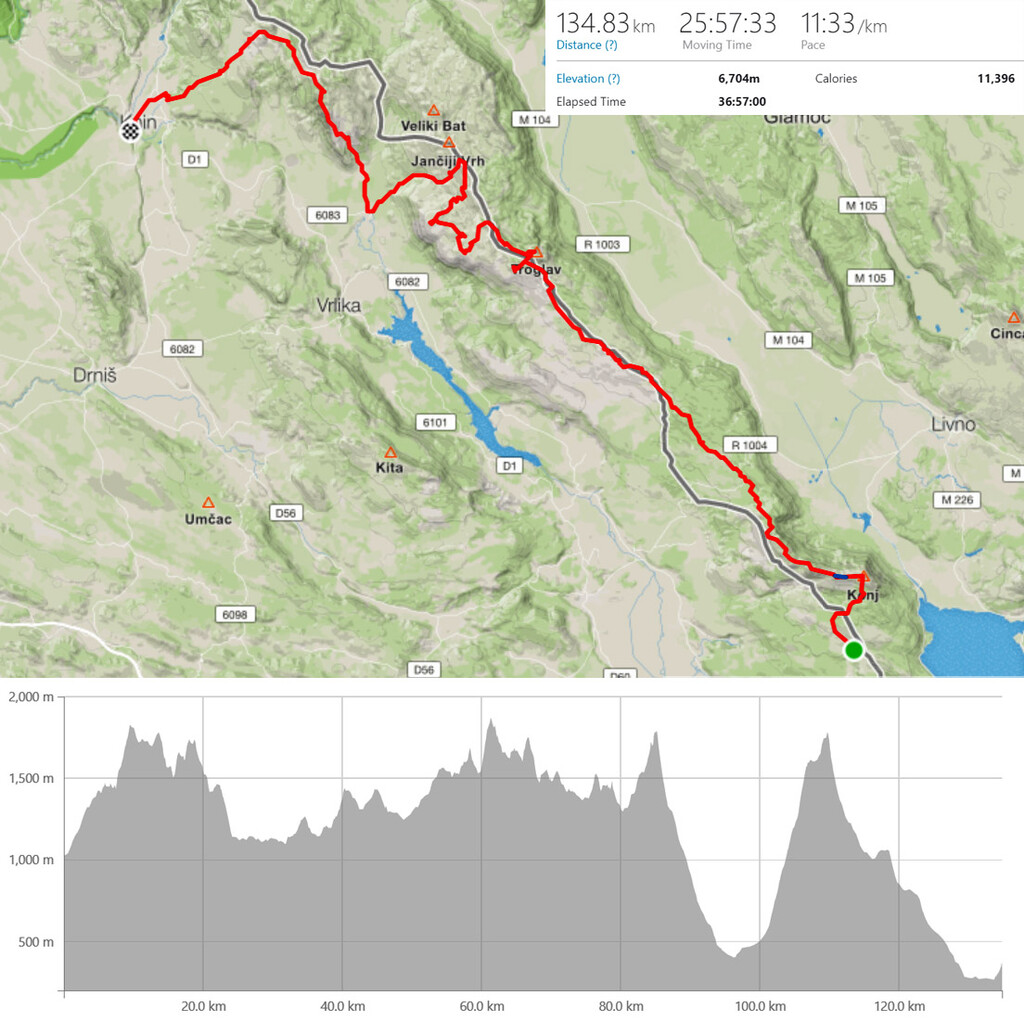
Put Oluje (Operation Storm) is the hiking route traversing mountains of Kamesnica, Troglav and Dinara (highest in Croatia), from Vostane to Knin in the honor of the last battle in the Croatian War of Independence. The route passes over the highest peaks and significant landmarks that had it's role in this historic battle which was the largest European land battle since the Second World War. Every year Mountain club Dinaridi organize a group thru-hike taking seven days to complete and arrive at the Knin Fortress exactly on the Victory Day - August 5th.
The whole route is marked with standard Croatian hiking blazes (red and white circle). It has around 135 km in length and little less than 7000 m of vertical gain. Route mostly follows the ridge of this mountain range with deviations into Croatian and Bosnian and Herzegovina's territory. Usually there are no border controls up there but hikers and runners should have their ID's or passports with them just in case. On the route there are numerous mountain shelters generously built by Mountain club Dinaridi that are always open for everybody to use.
Control points that have to be passed and verified with a photo (selfie) are:
- Vostane village - end of the road and beginning of the hiking trail
- Konj 1856 m - highest peak of the Kamesnica mountain
- Kurljaj 1809 m - sometimes called Kamesnica peak
- Garjata 1773 m - peak
- Burnjaca 1770 m - peak
- Kurtegica dolac - valley with a "Edo Retalj" mountain shelter
- Mracna peca - cave (water inside)
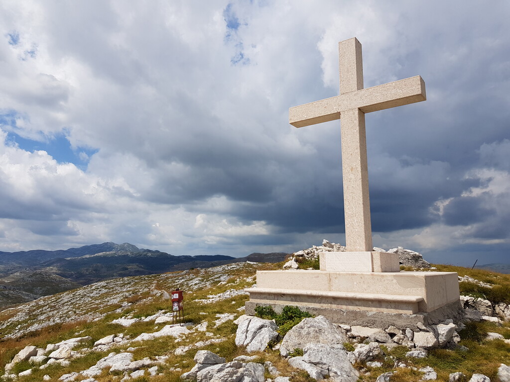
- Mali Maglaj 1455 m - peak with a large white cross
- Mountain hut Pume - large mountain shelter with a water well inside
- Velika Duvjakusa 1708 m - peak with a monument to the 31 soldiers of the 7th Guards Brigade AKA Pumas who lost their lives in these mountains
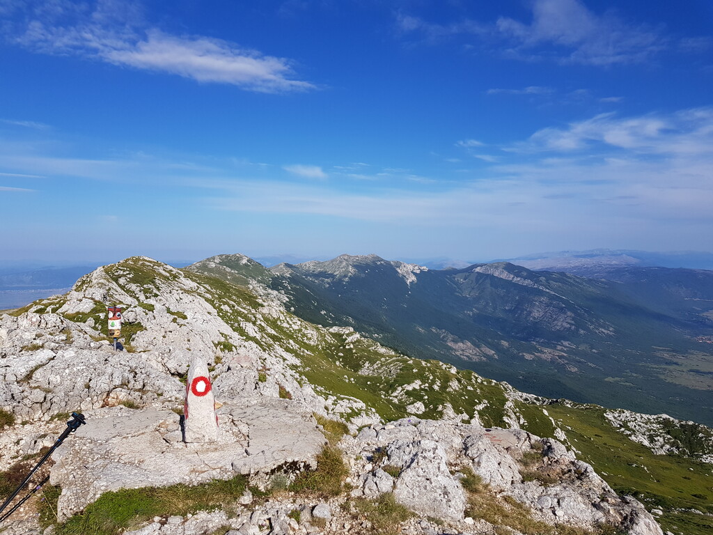
- Troglav 1913 m - highest peak of the whole massif and route
- Jankovo brdo 1780 m - peak with a small red shelter on top
- Corin Lacmen 1574 m - peak with a stone cross above the "Josip Goreta Croatian knight" mountain shelter
- Lisanjski vrh 1794 m - peak with a small red shelter on top
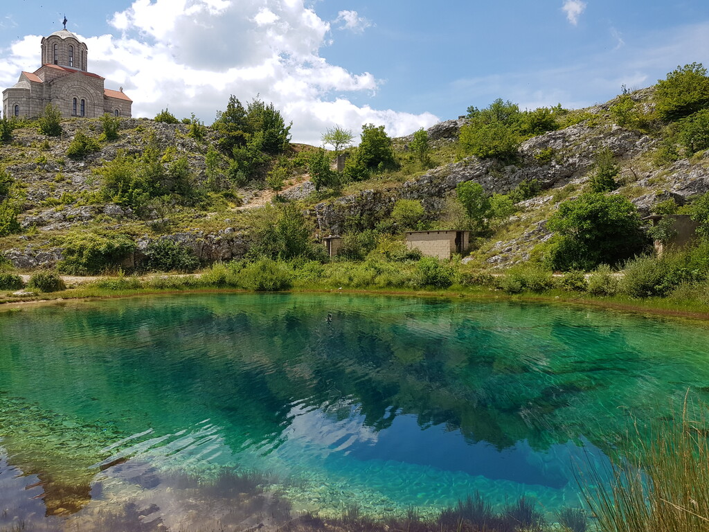
- Glavas - alsno known as "Milasevo vrelo", largest spring of the Cetina river
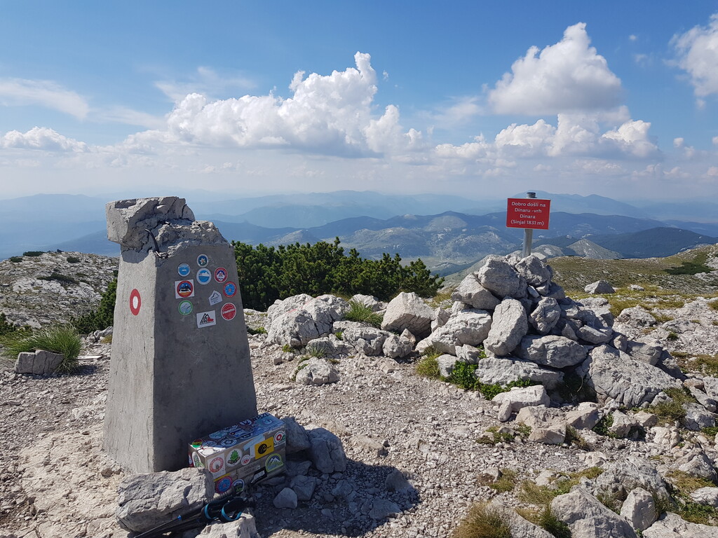
- Sinjal 1831 m - sometimes called Dinara peak, highest point of Croatia with a small red shelter on top
- Brezovac - mountain hut
- Klis fortess - medieval fortress in the town of Knin with a statue of the first Croatian president Franjo Tudman
WARNING! Some parts of the Triglav and Dinara mountains still have leftover landmines from the war. One should study the current mine field situation and strictly follow marked trails in risky areas (even when GPS track leads you elsewhere).