Muddus: The Rallar path
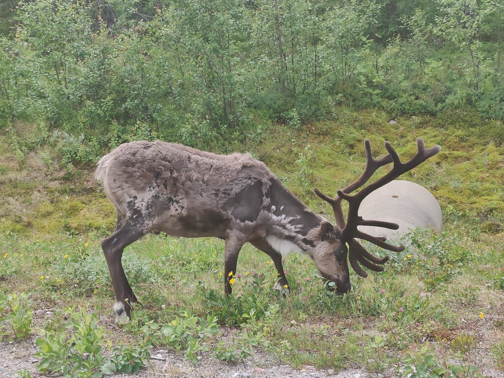
Bogs, pine hills, swamp forests with spruce and Sörstubba's birch forest slope on the side. This is Muddus in concentrate I felt when I walked along the path. Spring had turned into summer and only chaffinches and redstarts could be heard milling about. And a lone song thrush. A few reindeer with calves ran ahead of me on the path for a while. In what at first looked like wilderness, the traces of the people of the old days were many and clear
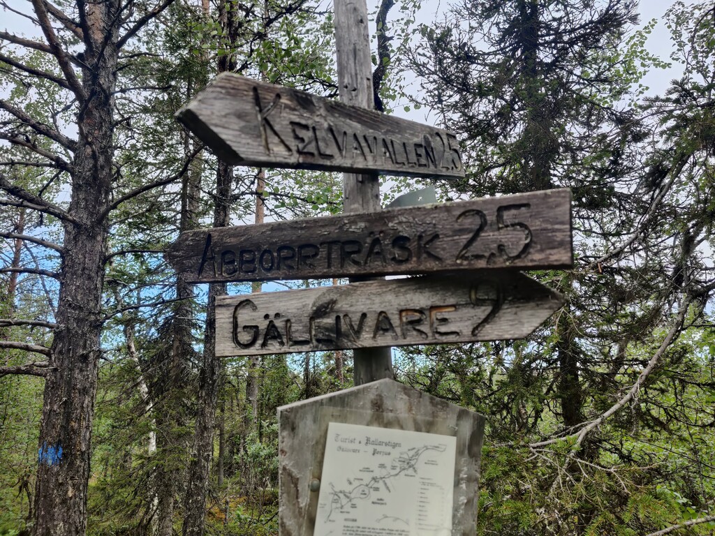
The Rallarstigen is marked and boarded. It has a history as a tourist trail from the late 19th century and as a Rallarstigen from the early 20th century. The stretch from Hapsasjaure (by Inlandsvägen) to Stubbavallen and out to Inlandsvägen again is a suitable day trip. Here you will encounter a concentrated Muddus, with everything from pine heaths to swamp forests and bogs. There are many traces of man in the landscape: hearths, stumps, bleaching in the trees, coal beds and the new Stubbavallen construction with house foundations and cultivation cairns
Content:
History
There are plenty of cultural traces along the path. First and foremost, the path itself with all the old ink marks (carved marks) in the trees. In some ink marks there are notches carved in that were probably kilometer markings. When the railway to Gällivare was built in 1888, the path became an important route towards Porjus and Luspebryggan (Sjöfallet). In 1891, the path was bridged by STF. 14 years later, a new bridge was built with 5 logs in width for a total length of 10,386 meters. The path was called Turistvägen. In the summer of 1910, construction of the Porjus power plant began and the path was given a different use, as a transport route for porters. From now on, the path is also called Rallarstigen. In 1945, the path ceased to be a route when the Gällivare-Porjus highway was built. On June 12, 1994, the path was reopened with new bridges and painted markings.
North of Sörstubba are the remains of two well-marked coal mines. Charcoal was taken from here to the smelter in Porjus. The remains of the charcoal huts are also clearly visible, as are cut logs that were to be charcoaled. North of that is Stubbavallen with many remains of settlement and cultivation. A large number of cultivation mounds bear witness to this. Most of it is now overgrown except for a small open space. There is a cold spring and house foundations here. Stubbavallen was a new development that was based on the owner selling housing and food to passersby. When the path decreased in importance, the new development was abandoned.
The landscape
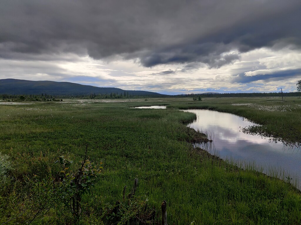
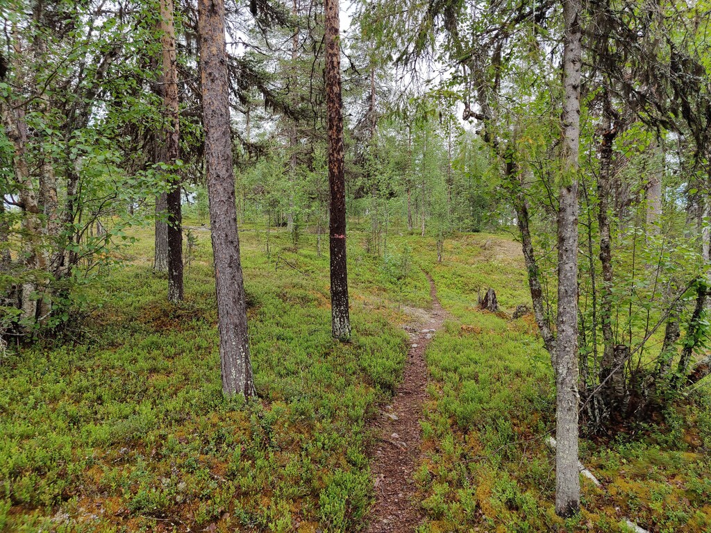
The path runs through a mosaic of bogs, swamp forests, pine heaths on moraine soil and hills of glacial material. It also passes a few lakes, streams and cold springs. Alongside rise the Vuosmobergen and Sörstubba mountains, primordial mountains that reach up into the birch forest belt.
Flora
The path first goes through marshland and swampy ground to the Hapsasjaures stream outlet. Then you follow fine pine hills and pine heaths to gain altitude towards the east side of Sörstubba. There, the proportion of spruce increases and you walk through both damp spruce beds with tall grasses and fresh spruce heaths. When you gain altitude towards Sörstubba, you will find elements of mountain plants, namely Lappish heath and Lappish spirea. Where the blue trail leads out towards the Inlandsvägen north of Sörstubba, the path goes over dry, easy-to-walk pine heaths with lichen. Large parts of the path go through real primeval forests where stumps and other traces of logging are completely absent.
Fauna
For those who hike in May or early June, there are great opportunities to see many of the birds of the primeval forest and marshland. Chaffinch, redstart, song thrush and cuckoo form a soundscape. During the feeding break, jays often come and visit. Earlier in the spring, the resident birds are more noticeable. The wood grouse plays, the great tit caws and the jackdaw drums. And during the spring-winter, the game of the barn owl and the hawk owl sounds.
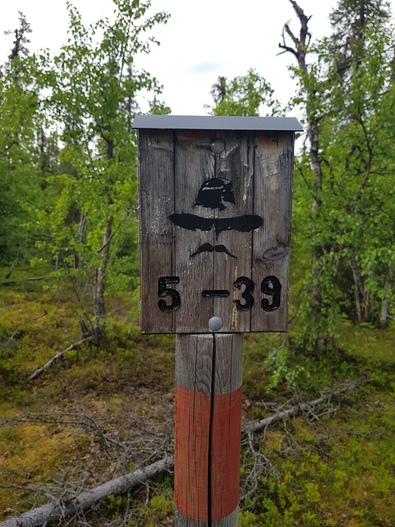
For the hiker
The path is very well marked with red painted rings around the tree trunks. Connection paths to the Inlandsvägen are marked in blue. Bogs are boarded up and bridges are built over the streams. The hike we recommend takes about 4 hours and starts at the Inlandsvägen at Hapsasjaure and ends at the Inlandsvägen north of Sörstubba. You should therefore organize the whole thing with, for example, two cars. Or park your bikes at Sörstubba and take the car back to Hapsasjaure, and start the hike there. The tourist offices in Gällivare, Porjus and Jokkmokk have information leaflets about the route and history of the trail.
https://www.laponia.info/landskapet/platser/muddus-rallarstigen/