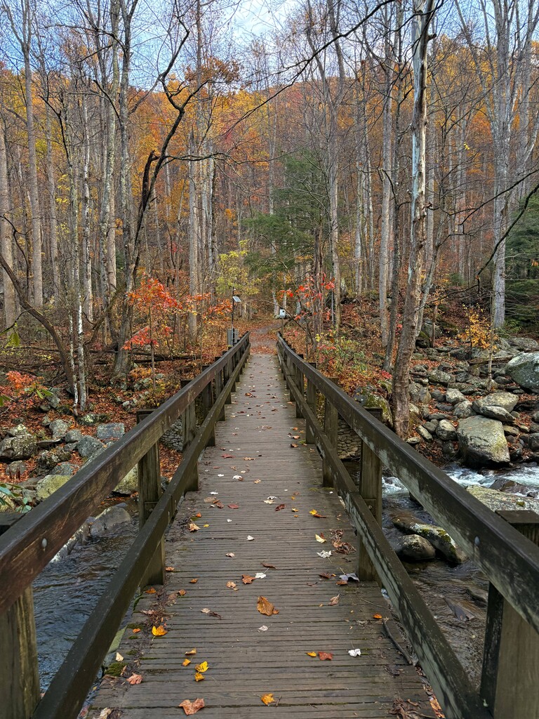
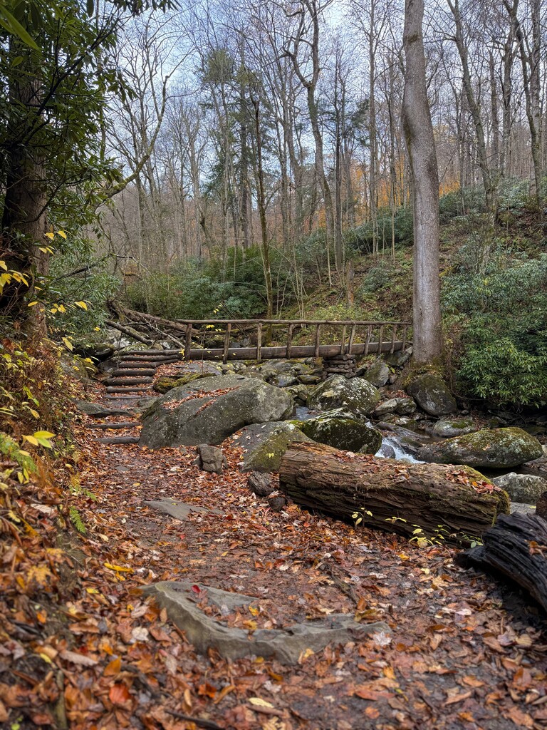
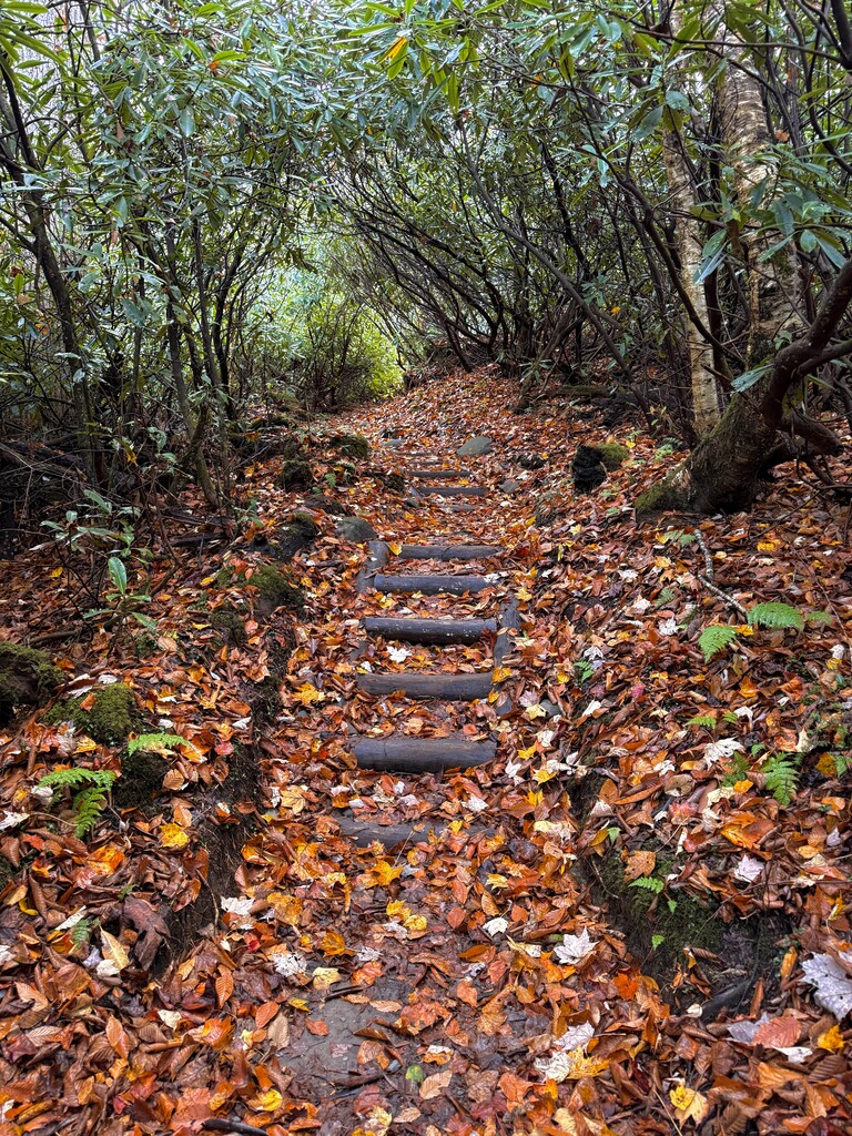
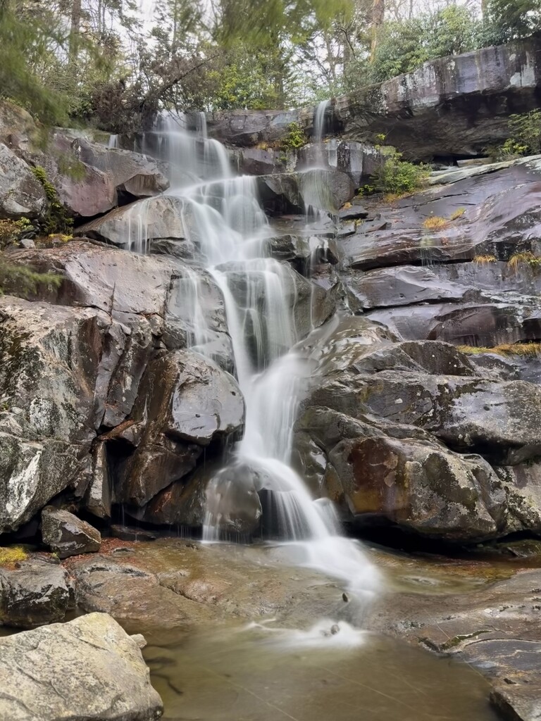
The trail begins and ends at the Ramsey Cascades Trailhead parking lot, which is just a flat clearing large enough for 10 or 15 cars. The first part of the trail being an old logging road, it is wide and slopes gently. Once the remnants of the road ends, the trail is quite steep and somewhat technical as far as class 1 trails go, with lots of roots and rocks. There are several log bridges that take the trail over beautiful cascading streams, and a shallow stream crossing (although it may be dry if it hasn't rained recently, and even if it has you can usually rock-hop your way to the other side) in the last 100 yards or so of the trail before you arrive at Ramsey Cascades, the tallest waterfall in the Great Smoky Mountains. It is an out and back trail, approximately 7.9 miles round trip with 2,185 ft of elevation gain according to Alltrails, my watch read about 40 ft less.
This website documents the route well:
https://www.dwhike.com/Hikes-in-the-South/Great-Smoky-Mountains-Hikes/Ramsey-Cascades-GSMNP-TN
Alltrails:
https://www.alltrails.com/trail/us/tennessee/ramsey-cascades-trail