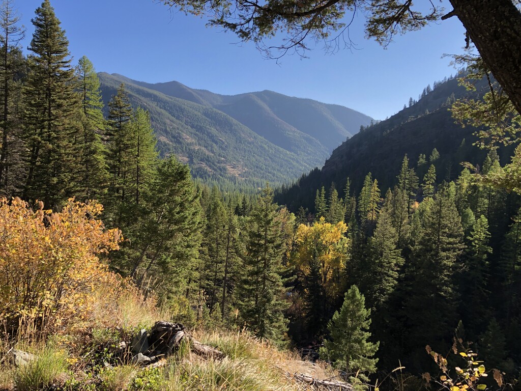
I wanted to create a route that looped around the entire Rattlesnake Creek drainage at the edge of Missoula, preferably staying as high as possible the entire time, as much on trails as possible, and with a minimal amount of pavement.
I designed the route in CalTopo and then uploaded it to the Trailforks app so I could have it on my phone the entire time because I hadn't been on most of the trails in the final 30 miles (and, as it turned out, I would be doing most of that section in the dark). I chose to go clockwise, starting at the Cherry Street Trailhead for Mt. Jumbo and running through the neighborhood to the Waterworks Trailhead, basically because I didn't want to run uphill at the end of a 60+mile day. Done this way, the last reliable water source I encountered at this time of year was at about Mile 35, when the East Fork trail starts to move away from Rattlesnake Creek on the way up to Mineral Peak. The last water I saw that might have been enough to fill a water bottle was at Mile 36 or 37 in one of the drainages on the southeast flank of Mineral Peak. I did consider driving/biking/hiking in a cache of water and food to either the Mineral Peak Trailhead or the Sheep Mountain Trailhead, which I think are viable options and would be a smart idea in warmer weather, but I decided to just attempt it unsupported on Oct. 6, 2020.
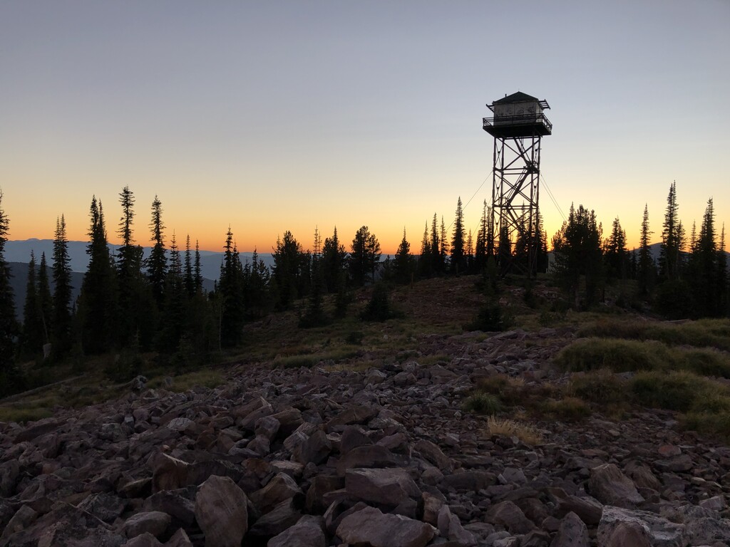
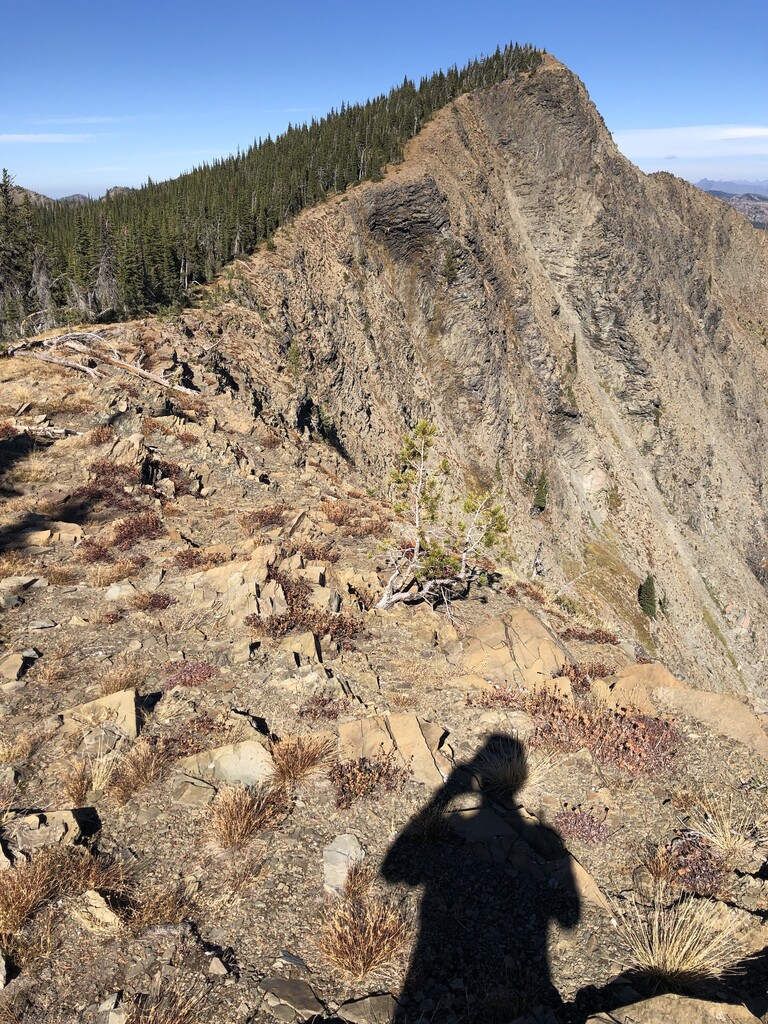
Going clockwise starting at the Cherry Street TH, I summited Stuart Peak, Mosquito Peak, Mineral Peak, Sheep Mountain, and Mt. Jumbo. All the peaks have trails to their summits except for Mosquito Peak, which I summited by following the cliffs on the east edge of the south ridge, and then doing a short bushwhack down the west ridge from the summit to re-join the trail, trying to stay as close as possible to the north-facing cliff band on the west ridge.
Water sources I used were as follows:
- Rattlesnake Creek (under the bridge on Sawmill Gulch Road just before the main Rattlesnake TH), ~Mile 6.0
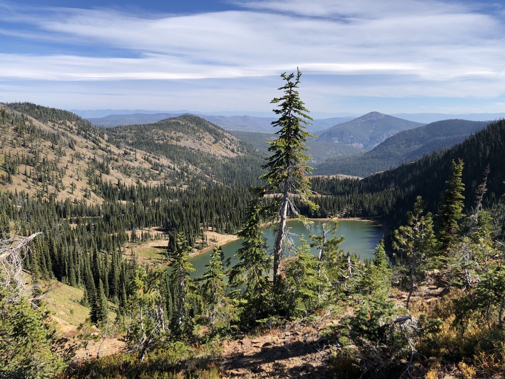
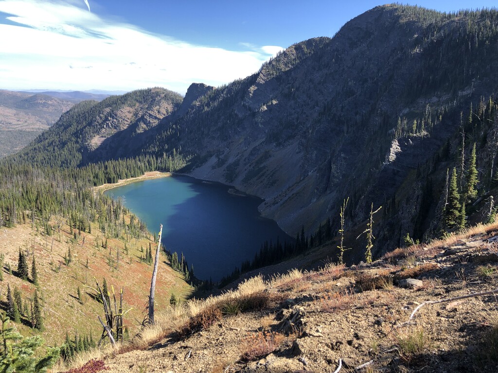
- Little Lake, ~Mile 24.6 (about 500 feet off the trail)
- Rattlesnake Creek, ~Mile 32.0 (the creek parallels the Main Corridor trail for a long time; this seemed like one of the last opportunities where it was close to the trail so I stopped to top off bottles, not knowing I'd have another opportunity in 3 miles)
- East Fork Rattlesnake Creek, ~Mile 35.0 (the trail parallels the creek for several miles leading out of the Main Corridor; this appeared to be one of the last easy-access spots to get water)
- There may be more water access a little further up the East Fork drainage—I crossed a small stream at either Mile 36 or Mile 37. It was not super-inspiring on Oct. 6, but I think would have been usable, and earlier in the season would probably be a good water source.
- As I mentioned above, I believe a water cache placed near the Sheep Mountain TH would give you the ability to refill water at approximately Mile 47.5 instead of going the last 30 miles without a water refill like I did.
Other notes:
- There are options of how to do this route, including:
- starting and ending at the Main Rattlesnake TH, which would change options for water (i.e. you could park a car at the Cherry Street TH or the Waterworks TH and leave some water in it for when you pass by)
- going counterclockwise instead—I think by going this way, your first 30 miles would be without water, and you'd still be doing 7,000 feet of climbing and descending before you'd be able to refill water at the East Fork of Rattlesnake Creek
https://www.strava.com/activities/4162275189/overview
Comments
If all goes accordingly to plan, I’ll be giving this an attempt starting around midnight this Saturday, Sept 13th. Wish me luck!