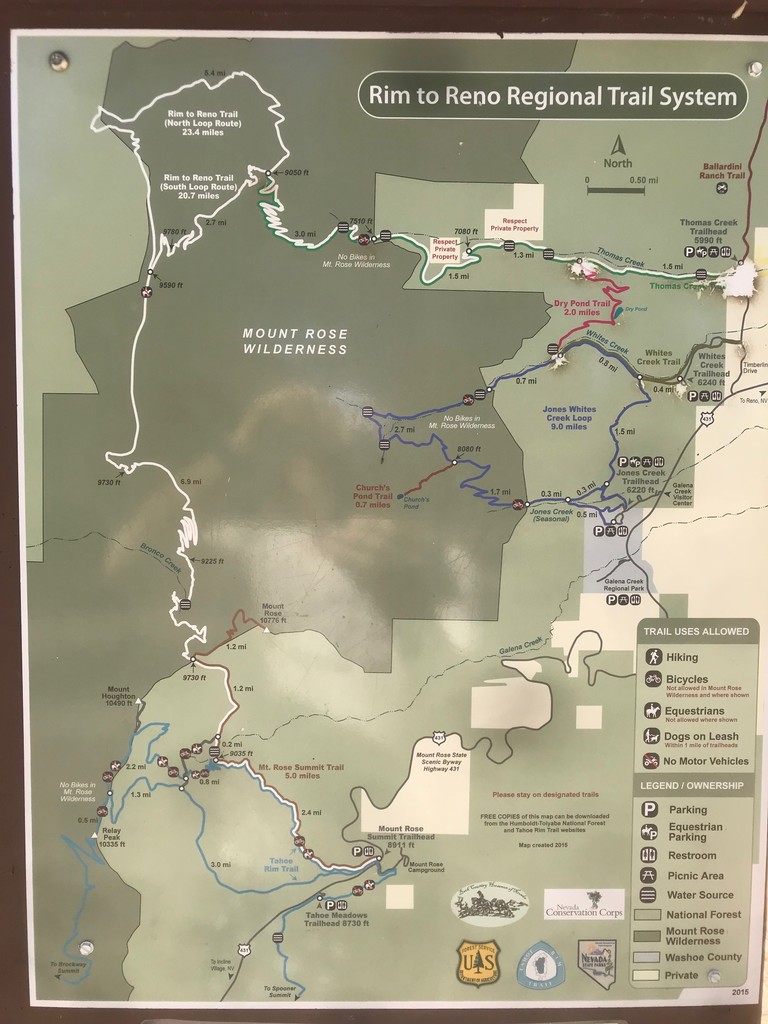
Location
Nevada,
US
Distance
41.2 mi
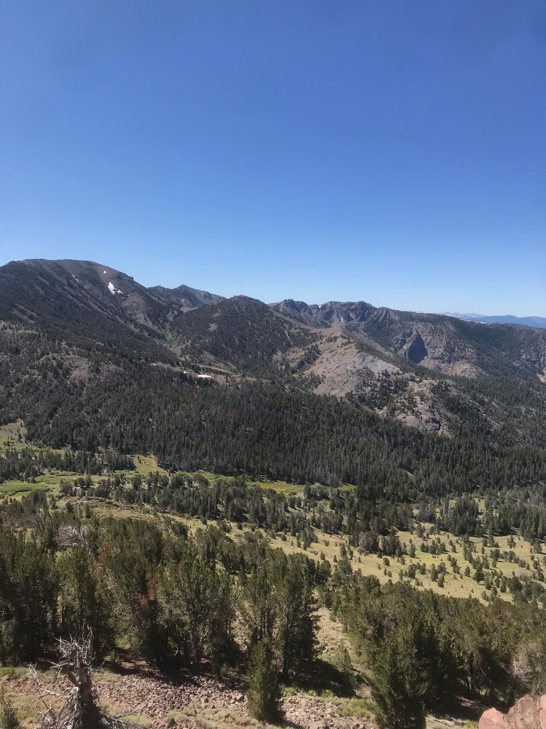
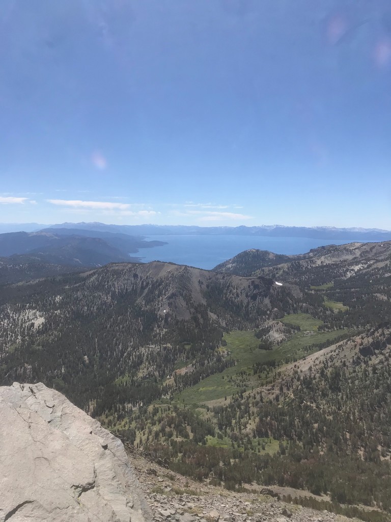
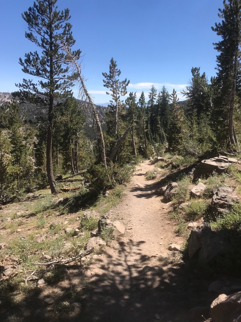
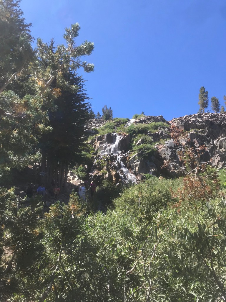
Description
GPS Track
Rim to Reno.gpx178.46 KB
FKTs
Male
| Ernesto Fuentes | 10h 23m 54s | ||||
| Christopher Thomas | 11h 20m 41s |
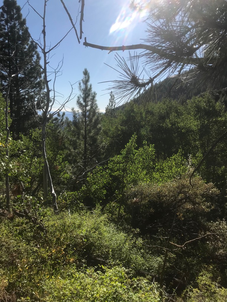
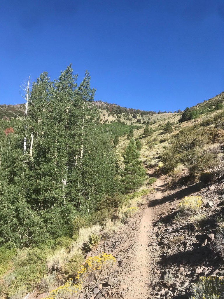
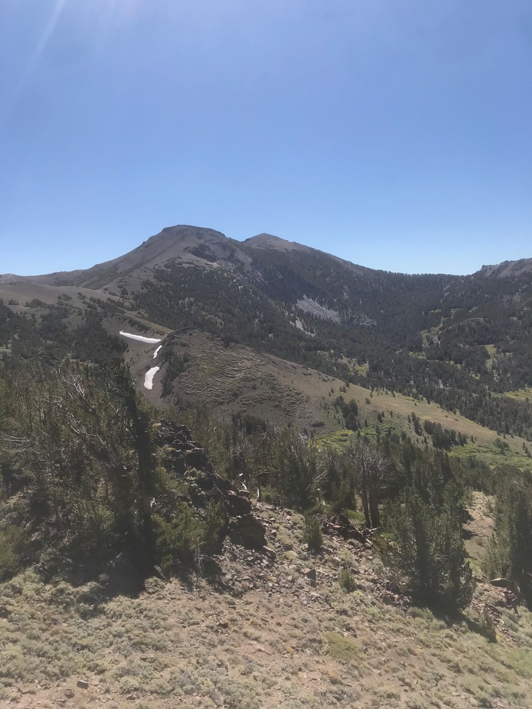
Images
Comments
On September 12th, 2020 at 6AM I will attempt to set the UNSUPPORTED FKT. I will record on my Coros Pace watch and post to STRAVA https://www.strava.com/athletes/6529683. I will also have my SPOT Gen 3 satellite tracker. https://maps.findmespot.com/s/G95P please feel free to follow along I have made it public.