Ken Rickwood’s book - The Colne by Boat, Bike and Boot states “At 42 miles, the Colne is the longest river in Essex. In 2011, Ken Rickman decided to explore its entire length…he traces our local river right back to its source, an ancient spring in a field beside Ridgewell’s St Lawrence church”. The location of the spring is not obvious amongst drainage ditches and is off the marked public footpath, so in order to make the route easier for others to follow, Nathan Roulson selected the start of the route to be the main doorway to St Lawrence Church, Ridgewell.
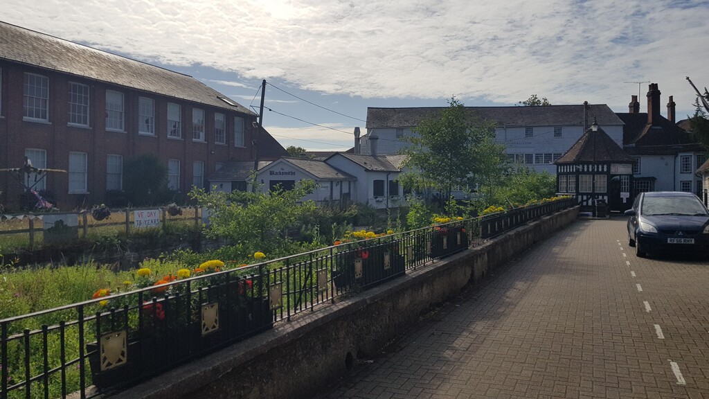
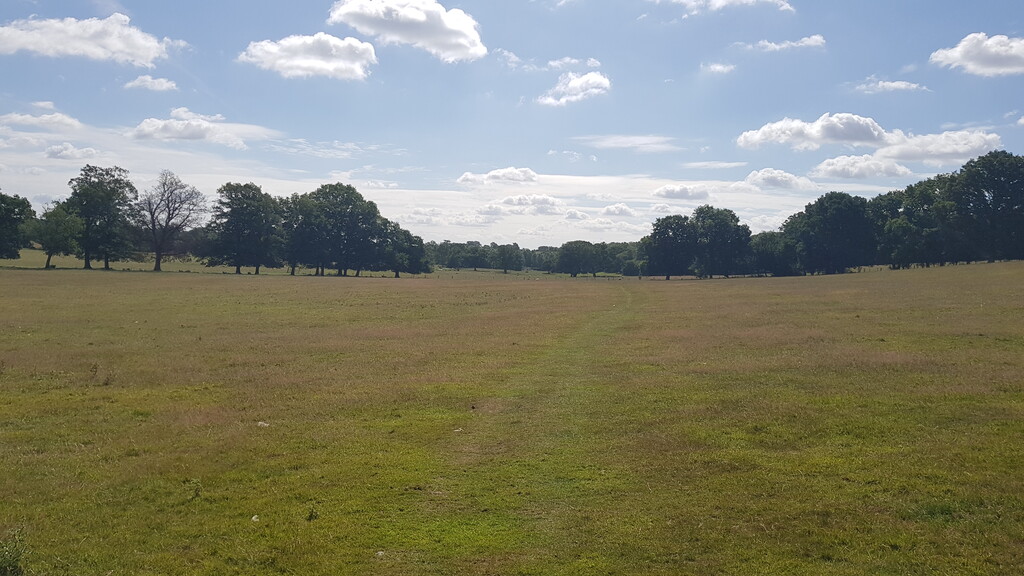
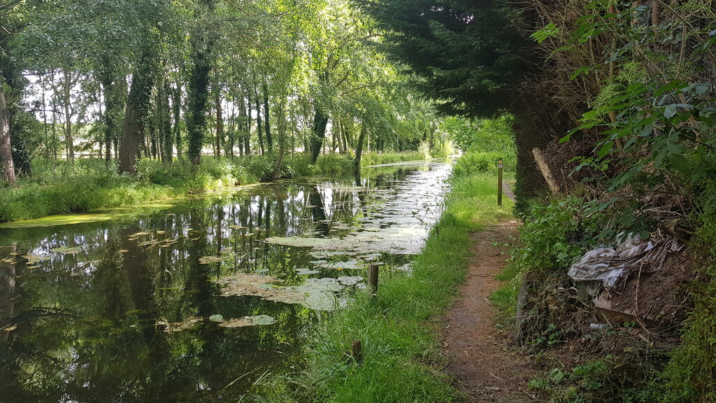
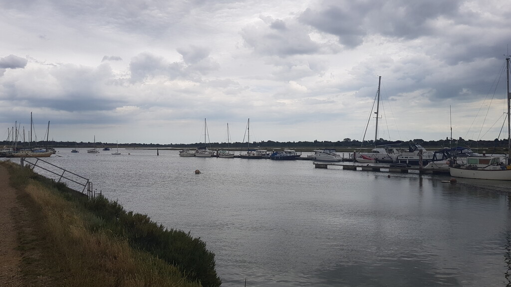
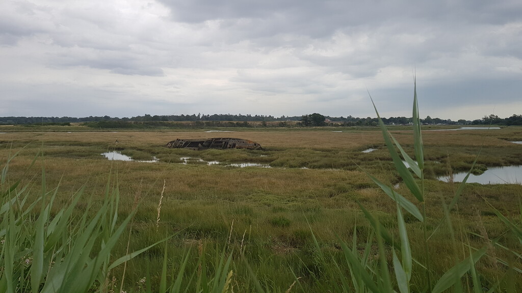
The terrain is a mix of trail types and maybe one-quarter paved surfaces. It takes in woodland, farmland, tree-lined river valleys, estuaries and (Essex Wildlife Trust) protected marshes. It passes through historic towns and villages such as Halstead, Colchester (Britain’s oldest recorded town) and Brightlingsea. The scenery varies significantly and much of it is truly beautiful. There are a significant number of gates, kissing gates and styles, plus a few major roads (please cross with care).
The first water point is Saint Barnabas Church, Chapel at ~16.5 miles. From the track, turn left into the church yard and go to the left of the building, go around the shed where you will find the tap below a window.
The second water point is All Saints Church, Brightlingsea at ~35.5 miles. From the public highway, take the first turn into the church yard to run along the northern side of the building, through a wooden gate where you will find a doorway on your left; the tap is to the left of the door.
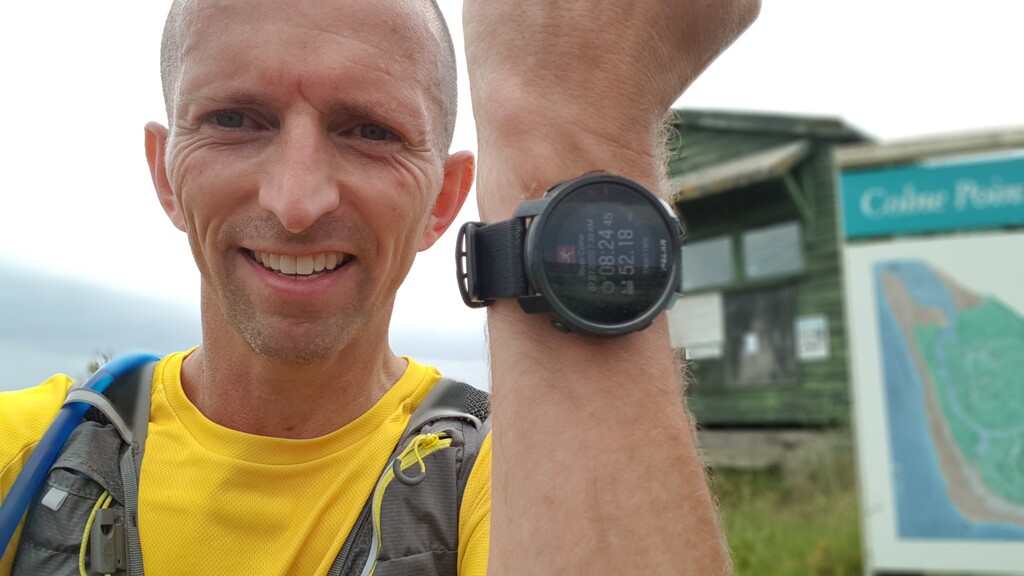
The end of the route is Colne Point Nature reserve at ~52 miles, specifically the Colne Point SSSI sign (sight of special scientific interest) just beyond the bridge over Ray Creek.