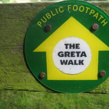
Route: River Greta Source to Mouth (United Kingdom)

Submitted by Ian Taylor on Sat, 04/03/2021 - 06:20am
Location
United Kingdom
Distance
26.3 km
Vertical Gain
185 m
Description

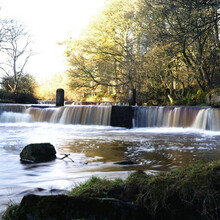
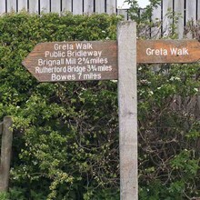
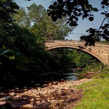
The River Greta rises in the Pennines and drains Spittal Ings, Roper Castle (or Round Table) and Beldoo Moss to the east of Moudy Mea, before running east through Stainmore Forest. The trail starts at the tributary from Black Riggs and runs down from the high Pennines down through Bowes, where, close to the site of the Roman fort of Lavatris it is crossed by the Pennine Way. It then flows down through Teesdale north of The Stang Forest, through historic church sites at Brignall and on to Greta Bridge hamlet. It then diverts round by Mortham Towers, a 14th Century fortified country manor to the rivers mouth where it joins The River Tees at 'The Meeting of The Waters'.

The trail runs from the source to the mouth of the river offering a fast point to point route. It is 95% trail with 5% road and has historical landmarks along with amazing views of the northern Pennines along the way. 

Images